Choluteca Bridge
The bridge survived the hurricane. The river did not stay to congratulate it. When Hurricane Mitch tore through Honduras in late 1998, killing thousands and wiping out roads and bridges across the country, the new Choluteca Bridge stood firm with only minor damage. Engineers could have celebrated. Instead, they found something stranger than destruction: the Choluteca River, swollen beyond recognition during the storm, had carved itself an entirely new channel. The bridge now spanned dry ground, its approaches obliterated, its purpose erased by the very force it had been built to withstand. For five years, the structure that was supposed to connect the Pan-American Highway across southern Honduras connected nothing at all.
Two Bridges, One Ambition
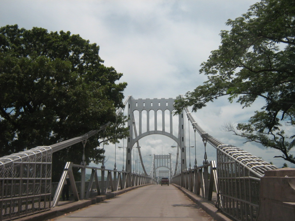
Choluteca, a city in Honduras's hot southern lowlands near the Gulf of Fonseca, has two bridges crossing its namesake river. The older one, known as the Carias Bridge or simply the Choluteca Bridge, is a 300-meter suspension bridge built between 1935 and 1937 by the United States Army Corps of Engineers, a joint venture funded with American and Honduran capital. It was constructed during the presidency of Tiburcio Carias Andino as part of the Pan-American Highway, and Hondurans have long considered it one of the country's greatest works of architecture. The bridge was modeled after the Golden Gate Bridge in San Francisco, and it remains one of the few such replicas still standing anywhere in the world. The newer bridge, called the Bridge of the Rising Sun, stretches 484 meters and was designed to handle the heavier traffic of a modernizing highway system.
The Night the River Moved
Hurricane Mitch arrived in late October 1998 and lingered over Central America for days, dumping catastrophic rainfall on Honduras and its neighbors. The storm killed more than eleven thousand people across the region, destroyed seventy percent of Honduras's crops, and obliterated nearly every bridge in its path. The older Carias Bridge suffered damage. Many other bridges were simply gone. But the newer Choluteca Bridge, recently completed and engineered with modern techniques, held. When the floodwaters finally receded, however, the Choluteca River was no longer beneath it. The massive flooding had rerouted the river over a hundred meters wide at the bridge site, cutting a new course through the landscape. The roads on either end of the bridge had vanished completely, leaving no visible trace. The bridge stood in perfect condition over a riverbed that was now solid ground.
A Parable in Concrete and Steel
Almost immediately, the Choluteca Bridge became famous as 'The Bridge to Nowhere,' a phrase that traveled far beyond Honduras. Engineers, management consultants, and motivational speakers seized on the image: a perfectly functional bridge rendered useless not by failure but by changed circumstances. The metaphor proved irresistible. Books about organizational resilience cited it. Business seminars invoked it. The lesson seemed tailor-made for an age of disruption: you can build something strong enough to survive any storm, but if the world shifts beneath you, strength alone is not enough. For the people of Choluteca, though, the bridge was not a metaphor. It was a severed highway in a country reeling from one of the worst natural disasters in its history.
Reconnection
In 2003, with assistance from Japan, the bridge was reconnected to the highway. New roads were built to meet the structure where it stood, and traffic once again crossed the Choluteca River at this point. The older Carias Bridge, repaired after the hurricane damage, also returned to service. Today both bridges carry vehicles across the river in a city that has rebuilt itself from devastation more than once. From the air, the flat southern lowlands of Honduras stretch toward the Pacific coast, and the Choluteca River winds through the landscape in a channel that may or may not be the one it occupied a generation ago. Rivers, after all, have their own sense of direction. The bridges of Choluteca stand as reminders that human engineering and natural force exist in a conversation, not a hierarchy, and sometimes nature gets the last word before the engineers reply.
From the Air
The Choluteca Bridge is located at 13.31N, 87.19W in the southern lowlands of Honduras near the Gulf of Fonseca. Best viewed at 1,500-3,000 feet AGL where both bridges and the river course are visible. The flat terrain and the winding Choluteca River make good visual landmarks. Nearest significant airport is Toncontin International Airport (MHTG) in Tegucigalpa, approximately 130 km to the north. The Pan-American Highway is visible as a thread through the lowlands.