Ciudad Colonial (Santo Domingo)
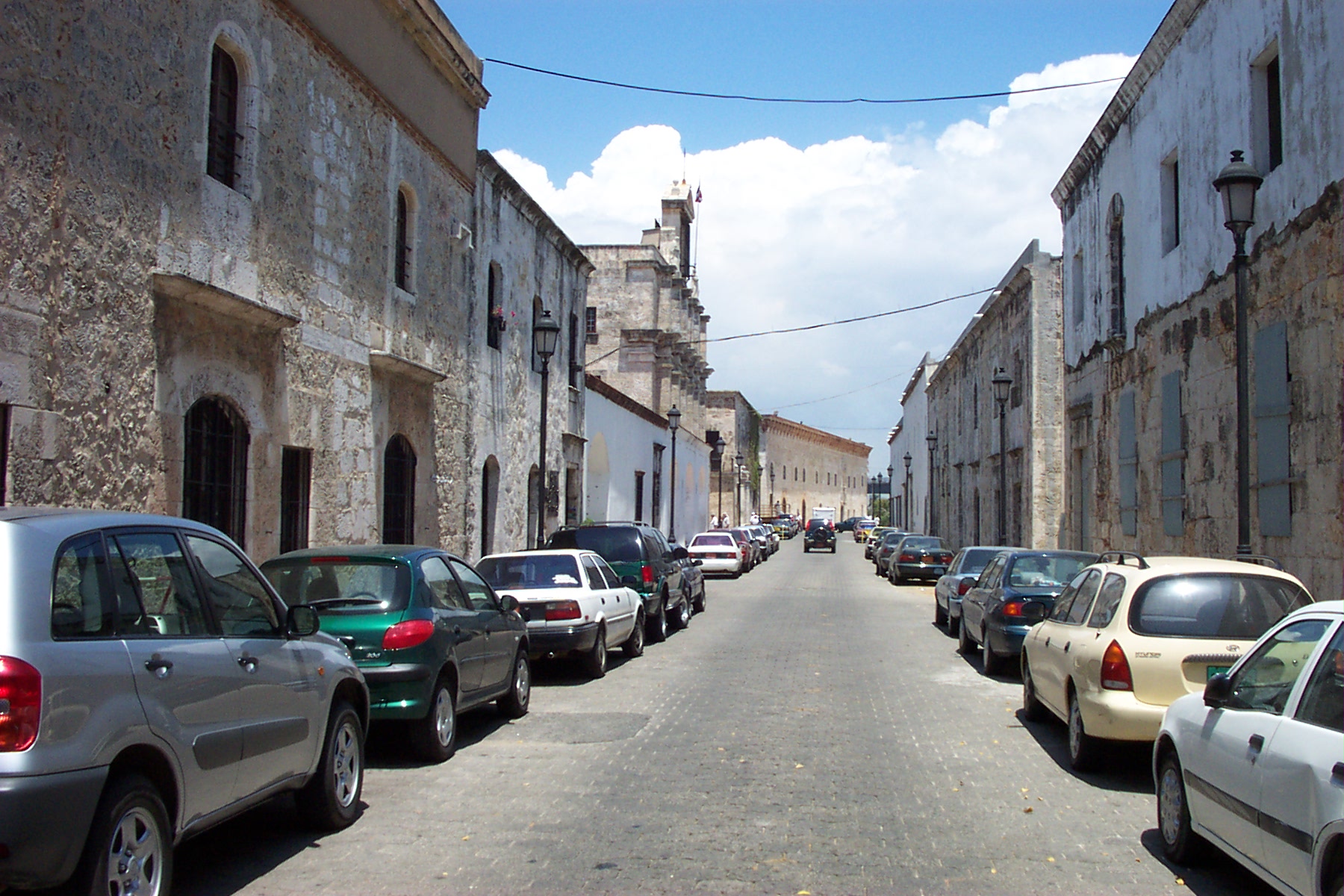
Calle Las Damas has been paved since 1502. It is the oldest street in the New World, and people still walk it to dinner. This is the defining quality of Santo Domingo's Ciudad Colonial: nothing here is merely historical. The first cathedral in the Americas still holds Mass. The first European fortress in the Western Hemisphere still overlooks the Ozama River. The governor's palace still stands, though governors no longer live there. Covering just over one square kilometer on the river's west bank, this walled district is where European colonization of the Americas began in earnest - and where, improbably, the original buildings survived conquest, hurricane, siege, neglect, and dictatorship to become one of the most intact colonial districts in the Caribbean. UNESCO recognized it as a World Heritage Site, but the designation only confirmed what the stones already knew.
The Hurricane That Built a City
The original settlement sat on the wrong side of the river. Bartholomew Columbus, Christopher's brother, had established a foothold on the east bank of the Ozama near the end of the 15th century. Then the hurricane of 1502 struck. Among its victims was Francisco de Bobadilla, the colonial administrator who had once sent Christopher Columbus back to Spain in chains. Governor Nicolas de Ovando, newly arrived and surveying the wreckage, made a decision that would shape five centuries of history: he rebuilt the city on the west bank. Ovando and his successor Diego Colon, Christopher Columbus's son, presided over the first wave of construction. A fortress, a cathedral, streets laid in a grid, a defensive wall stretching from the river to what would become the Puerta del Conde at the city's western edge. The Spaniards built Santo Domingo as their base of operations for the entire hemisphere - the staging point from which they would conquer Mexico, Peru, and everything in between.
When the Empire Moved On
Santo Domingo's golden age was brief. For the first few decades of the 1500s, it was the political and cultural capital of Spanish presence in the Americas. But once Cortes conquered the Aztecs and Pizarro toppled the Incas, the empire's attention shifted to the mainland, where silver and gold flowed in quantities that a Caribbean island could not match. The city that had been the headquarters of a hemisphere became a backwater. Yet the buildings endured. In 1655, English officers William Penn and Robert Venables laid siege to the Ciudad Colonial, only to be repulsed by Spanish forces under the Count of Penalva. The Puerta del Conde - the Gate of the Count - still bears his name, a monument to the day Santo Domingo refused to fall. The defensive wall was expanded into a bastion after the siege, and the city remained walled and compact, its colonial architecture preserved partly by neglect and partly by the simple fact that there was no money to tear it down and build something new.
Cobblestones and Conquerors
Walking through the Ciudad Colonial today is an exercise in layered time. Parque Colon, the central square, borders the 16th-century cathedral and features a bronze statue of Columbus erected in the late 1800s. East of the park, Calle Las Damas runs alongside the zone's most prominent landmarks: Fortaleza Ozama, where major events in Dominican history unfolded; Casa de Bastidas, now a children's museum; the French Embassy, housed in what is said to have been the residence of Hernan Cortes himself. The Casa de Ovando, former home of the governor who rebuilt the city after the hurricane, operates as a luxury hotel. At the north end of Calle Las Damas, the restored Plaza de Espana opens onto Las Atarazanas, a former naval yard turned museum, and the Alcazar de Colon. Built between 1511 and 1514 as the colonial palace of the Columbus family beginning with Diego, it was restored in the mid-1950s and now displays period furniture and decorations. Over 300 historical sites crowd into this single square kilometer.
The Dictator's Restoration
History sometimes owes debts to unsavory creditors. Rafael Trujillo, the dictator who ruled the Dominican Republic from 1930 to 1961 with extraordinary brutality, also presided over the restoration of the Ciudad Colonial's major monuments. The Alcazar de Colon was restored in the early 1950s under his government. Trujillo understood the propaganda value of colonial grandeur - a regime that preserves the past appears legitimate, rooted, permanent. The irony is that his restorations were genuinely well executed. The buildings that tourists admire today owe their survival in part to a tyrant's vanity. The city had begun expanding beyond its old walls in the late 19th century, and by Trujillo's era, the colonial district was no longer the center of commercial life. That marginalization may have saved it from the demolition that modernization brought to so many other Latin American historic centers. What the empire's departure preserved through neglect, the dictator preserved through calculation.
La Zona, Still Living
Locals call it La Zona, and they say it casually, the way New Yorkers say the Village. Calle del Conde, the pedestrian street connecting Parque Colon to the Puerta del Conde and Parque Independencia, fills with vendors and strollers. Avenida Duarte just north of the colonial zone hums with traditional commerce. A $700 million port investment aims to bring luxury cruise ships to the adjacent Ozama River waterfront. The tension between preservation and development is real, but the Ciudad Colonial has survived worse. It survived being the most important city in the Western Hemisphere and then being forgotten. It survived pirates, sieges, hurricanes, and dictators. It survived the simple passage of five centuries, during which most colonial-era buildings elsewhere crumbled or were replaced. What remains is not a museum district but a neighborhood - one that happens to contain the oldest cathedral, the oldest fortress, the oldest paved street, and the oldest continuously inhabited European settlement in the Americas, all within walking distance of each other, all still in use.
From the Air
Located at 18.473°N, 69.883°W on the west bank of the Ozama River in central Santo Domingo. The walled colonial district covers approximately 1.06 square kilometers and is identifiable from altitude by its dense grid pattern contrasting with the modern city surrounding it, bounded by the river to the east and remnants of the defensive wall elsewhere. Fortaleza Ozama at the southeastern corner is a prominent landmark. Best viewed at 2,000-4,000 feet AGL. Nearest airports: Las Americas International (MDSD/SDQ) approximately 25 km east, La Isabela International (MDJB/JBQ) roughly 15 km north. Tropical maritime climate; expect afternoon cumulus buildup and possible convective showers year-round.