Clatsop Plains: Sand, Settlers, and a Vanished River
In 1841, Solomon H. Smith and the Reverend Joseph H. Frost loaded their families into wagons and headed for the damp, sandy flats at the edge of the continent. They were Methodist missionaries, the first to arrive in Clatsop County, and they built homes on a landscape that was neither solid ground nor open water but something stubbornly in between. The Clatsop Plains stretch from the mouth of the Columbia River south to Tillamook Head near Seaside -- a corridor of wetlands, sand dunes, and groundwater-fed lakes wedged between the Northern Oregon Coast Range and the Pacific Ocean. The Clatsop people, for whom the plains are named, had lived here for centuries before Smith and Frost arrived. They understood what the missionaries would learn the hard way: this land does not hold still.
Built from River and Sea
The Clatsop Plains are geologically young, assembled from sand during the late Quaternary age as sediment filled the shoreline between the Coast Range and the ocean. Rivers thread through them in an unusual pattern -- the Skipanon and Necanicum flow parallel to the coast rather than straight toward it, emptying into the Columbia at Youngs Bay and into the Pacific near Seaside. When Lewis and Clark passed through in 1805, they recorded a third river draining the plains, one that entered the ocean near what is now Camp Rilea. Two hundred years later, researchers from the University of Wisconsin confirmed the expedition's observation by locating the old channel with ground-penetrating radar. The river Lewis and Clark mapped had simply ceased to exist. The northern portion of the plains grew significantly after 1885, when the Army Corps of Engineers built the south jetty on the Columbia River. The jetty redirected sand deposition, extending the shoreline and reshaping the landscape in ways that are still visible from the air.
The First Protestant Church West of the Rockies
Settlement came quickly after Smith and Frost's mission. In 1846, Robert Morrison donated ten acres for a Presbyterian church and two more for a cemetery. The Pioneer Cemetery, established that same year, remains the oldest in Clatsop County. The first church went up in 1850 -- the first Protestant church built west of the Rocky Mountains. A windstorm flattened it three years later. A replacement served until 1927, when the current building took its place east of Camp Rilea. The cycle of construction and destruction captured the essential character of life on the plains: build something, watch the weather tear it apart, build it again. The pioneers buried in that 1846 cemetery had come to the edge of the continent knowing they would not go farther. What they built here was final, even when the wind disagreed.
A Town Incorporated Against Cows
Most towns incorporate to build roads, collect taxes, or establish law enforcement. Clatsop Plains incorporated in 1870 for a stranger reason: to stop cattle from eating the grass. Ranchers had been grazing their herds along the sea ridge, and the animals were destroying the vegetation that held the dunes in place. Without that grass, sand blew freely onto nearby farms, burying crops and fouling equipment. Incorporation gave the community legal authority to restrict grazing and protect the fragile ridge. As originally drawn, the boundaries of "Clatsop Plains" extended from the Skipanon River all the way to Seaside. An actual town eventually coalesced about a mile north of Seaside and was later absorbed into Gearhart. The name lingered -- Seaside itself was sometimes called Clatsop Plains, a geographic identity that outlasted the political one.
Lakes, Butterflies, and Quiet Persistence
Several lakes dot the plains -- Cullaby, Sunset, Smith, and Coffenbury -- and the latter three are unusual because no streams feed them. They fill entirely from groundwater, rising and falling with the water table rather than with rainfall or snowmelt. Coffenbury Lake, named for early settler George W. Coffenberry, sits inside Fort Stevens State Park and draws swimmers in summer, though the water stays cold enough to remind visitors how far north they are. The coastal grasslands of the plains once supported the Oregon silverspot butterfly, a species now listed as endangered. Conservation biologists continue efforts to re-establish populations of Speyeria zerene hippolyta in the area. U.S. Route 101, the Oregon Coast Highway, runs through most of the plains' length, carrying travelers past landscapes that look serene but are still in motion -- sand shifting, water rising, grass holding the line between land and sea.
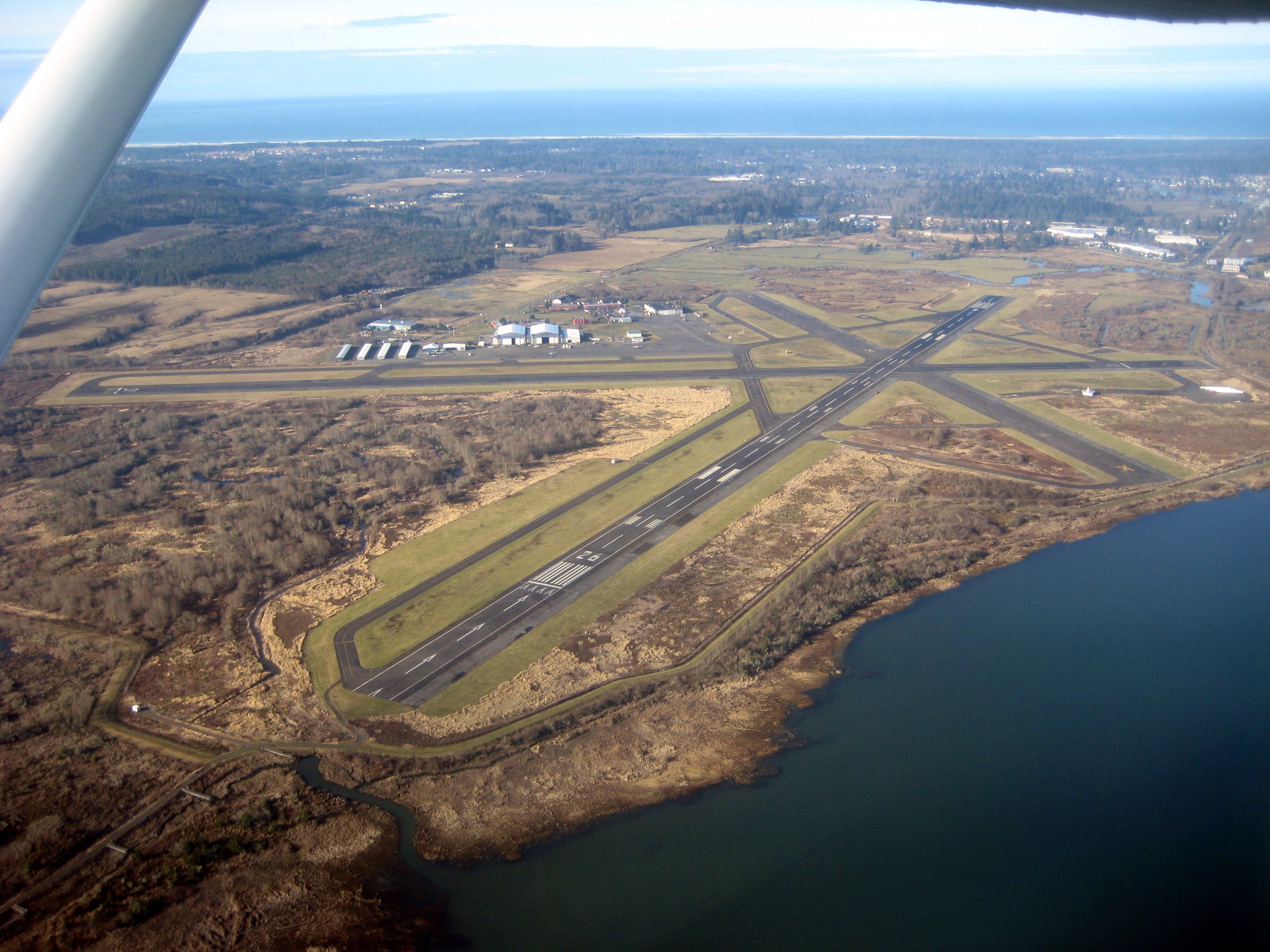
From the Air
Located at 46.07°N, 123.93°W on the northern Oregon coast. From the air, the Clatsop Plains appear as a flat, green-and-tan corridor between the dark Coast Range forests to the east and the Pacific surf to the west. The Skipanon and Necanicum Rivers are visible as parallel silver threads running north-south rather than east-west. Groundwater lakes -- Cullaby, Coffenbury, Smith -- appear as dark ovals scattered across the plain. Camp Rilea is visible at the northern end. The south jetty of the Columbia River, which reshaped the northern plains after 1885, extends into the river mouth. Nearest airports include Astoria Regional Airport (KAST) approximately 8 nm north. Best viewed at 2,000-4,000 feet AGL to appreciate the unusual parallel drainage pattern and the contrast between stabilized dunes and open wetlands.