Colonial Brazil
On 22 April 1500, a Portuguese fleet of thirteen ships under Pedro Alvares Cabral - a thousand men following Vasco da Gama's route to India - put into a bay on the coast of what we now call Brazil. Cabral stayed ten days, claimed the land for King Manuel I, and sailed on. He had not meant to stop. The thing the Portuguese soon noticed about this coastline was the red dye they could pull from a hardwood tree the Tupi already knew how to cut: pau-brasil, brazilwood. The tree named the territory. The next three hundred years would be written across it in three products - red dye, sugar, and gold - and in the labor, lives, and resistance of millions of people who did not choose to be part of the story.
A Line Drawn Across the Ocean
The claim itself was already six years old. In 1494, at Tordesillas, Portugal and Spain had drawn an imaginary line across a world neither had fully seen, with everything east of the meridian belonging to Portugal and everything west to Spain. Brazil, by luck of geography, fell just barely on the Portuguese side. Cabral's landing confirmed it. For the first three decades the colony was a handful of coastal factories - fortified trading posts cutting brazilwood and fending off French smugglers who did not recognize the treaty. In 1530, worried about losing the coast entirely, the Crown dispatched Martim Afonso de Sousa with a larger expedition to patrol the shoreline, expel the French, and found the first real settlements. Sao Vicente, near modern Santos, went up in 1532. The colony had begun in earnest.
The Sugar Age and Its Costs
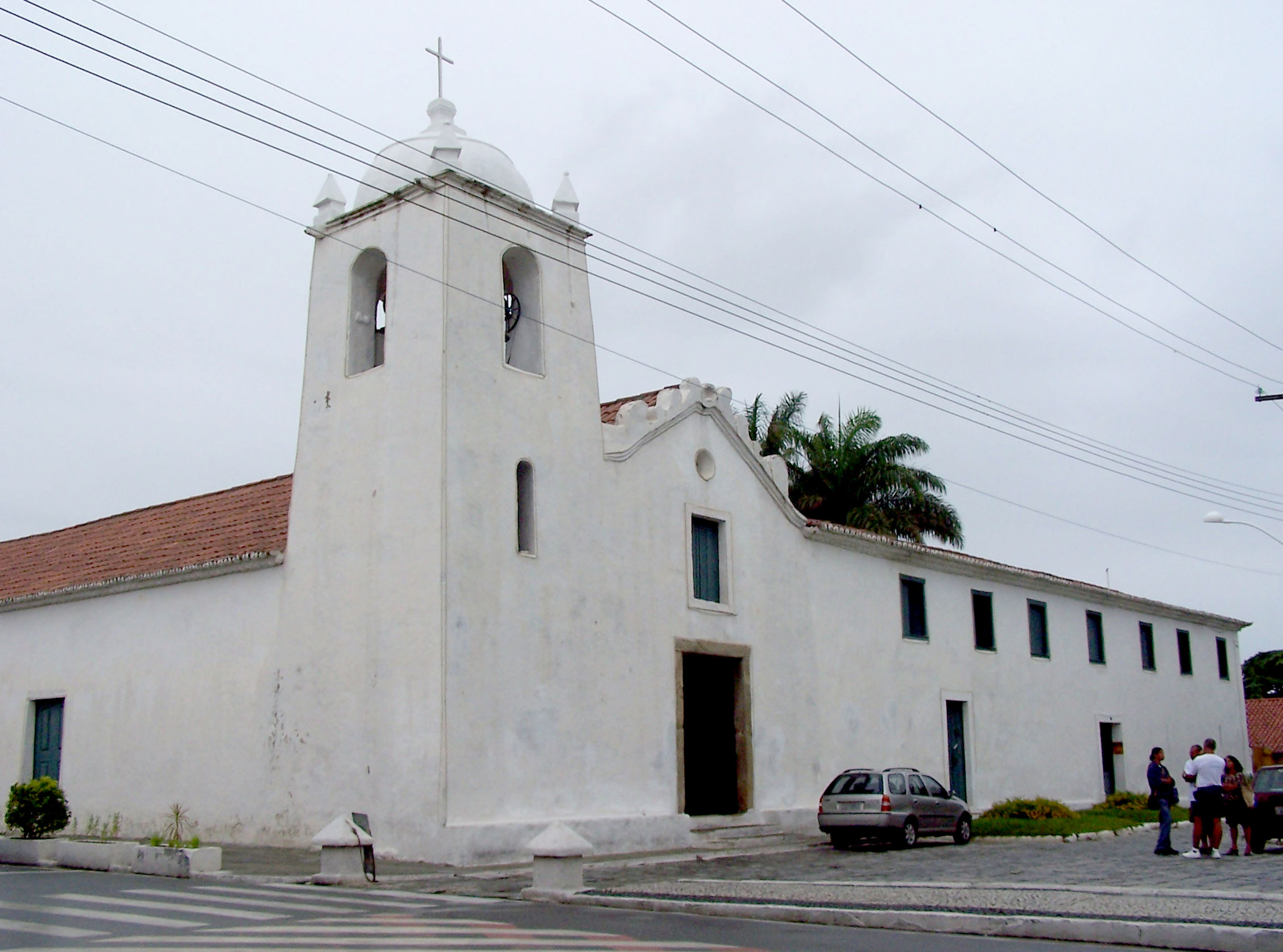
For most of the next 170 years, Brazil meant sugar. The first mills were built in the mid-1500s; within decades, the coastal plains of Bahia and Pernambuco were dense with plantations. Sugarcane was not sustainable with free labor, and the Portuguese solved the problem, as the Spanish and Dutch and English would later solve it in the Caribbean, with forced labor. Initially the Portuguese enslaved indigenous peoples; as epidemics and the 1570 law of King Sebastian I shifted the calculus, they turned increasingly to trafficked Africans. Ships arrived chained and crowded. In the Bahian sugar regions, conditions were cruel enough that, as historians have documented, plantation owners often found it cheaper to work enslaved people to death within a few years and replace them. These were not statistics. They were people with names, families, languages, and religions, who built the wealth that paid for baroque churches across Salvador and gold frames in Lisbon.
Resistance, Quilombos, and the Bandeirantes
Resistance took many forms. Some of the enslaved sabotaged work, ran away, or organized uprisings. Many fled inland into the forest and founded quilombos - self-governing communities of the formerly enslaved. The largest, Quilombo dos Palmares in present-day Alagoas, grew to many thousands of residents during the Dutch occupation of the Northeast, was led by Ganga Zumba and later by Zumbi, and held out against Portuguese armies for most of the seventeenth century. Meanwhile, from the south, bandeirantes - armed expeditions mostly out of Sao Paulo - pushed deep into the interior hunting for enslaved natives and precious minerals. They pushed Brazil's borders far beyond the Tordesillas line. They also carried disease and violence into indigenous lands that the treaty on paper had declared Spanish. The map we now recognize as Brazil is, in large part, the map the bandeiras drew.
The Gold Cycle and the Road to Independence
At the end of the seventeenth century, the bandeirantes struck gold in the highlands of what became Minas Gerais - General Mines. A rush followed. Settlements sprang up - Vila Rica de Ouro Preto, Mariana, Sabara, Sao Joao del-Rei - and, in 1729, diamonds turned up around Tijuco, now Diamantina. The Crown took a fifth, the quinto, and the tax became detested. In 1789 a group of conspirators in Minas Gerais, inspired by the American Revolution and the French Enlightenment, plotted a republic. The plot was betrayed. Most conspirators were exiled to Angola. One, a militia officer named Joaquim Jose da Silva Xavier, nicknamed Tiradentes - the tooth-puller - was hanged in Rio de Janeiro in 1792 and his body quartered. He became a martyr. Three decades later, with the Portuguese court itself having fled to Rio during the Napoleonic Wars, independence came almost quietly: on 7 September 1822, Prince Pedro declared Brazil independent, and three centuries of colonial history ended - on paper, at least. The institutions they built would take far longer to dismantle. Slavery itself would persist until 1888.
From the Air
The colonial heartland spans roughly from Salvador (12.97 S, 38.51 W) north to Pernambuco and south to Rio de Janeiro and Sao Vicente, with the mining interior centered on Minas Gerais. Salvador - the first colonial capital until 1763 - sits on All Saints Bay at 13 degrees south. From cruising altitude along the Brazilian coast, the coastal plain appears as a thin green fringe between the ocean and the inland escarpment; colonial cities cluster along bays and river mouths. Nearest airports for key sites: Salvador (SBSV/SSA), Recife (SBRF/REC), Rio de Janeiro Galeão (SBGL/GIG), and Confins/Belo Horizonte (SBCF/CNF) for Minas Gerais. Tropical Atlantic weather prevails; afternoon convective buildups are common in summer.