Colossal Cave
Five hundred deer antlers lay scattered across the cave floor when the first explorers pushed through the narrow entrance in 1879, their candles flickering against walls blackened by ancient fires. The Hohokam, Sobaipuri, and Apache peoples had used this underground refuge in the Rincon Mountain foothills for over five centuries, leaving behind the bones of countless meals and ash from fires that once warmed gatherers in the constant 70-degree darkness. But the most fascinating chapter of Colossal Cave's history was yet to come, written by train robbers seeking refuge in its labyrinthine passages.
Where Water Once Flowed
Colossal Cave is what geologists call a "dry" or "dead" cave, meaning its formations no longer grow. Millions of years ago, water carved these passages through limestone, depositing the finger-shaped and kidney-shaped stalactites that awed early visitors who explored by candlelight and burning magnesium wire. But that ancient water source shifted course, and now feeds the nearby Arkenstone Cave, where formations continue to develop. The original cave sits frozen in time, its delicate structures preserved exactly as they appeared when the water disappeared. Over three miles of mapped passageways wind through the darkness, with holes so deep that explorers could barely hear their dropped rocks hit bottom.
Hideout of the Desperate
In the 1880s, Colossal Cave gained notoriety as a suspected hideout for train robbers who twice held up the Southern Pacific Express. The first heist netted $3,000 in currency; the second yielded a haul of gold and silver Mexican dollars. The cave's maze of passages offered perfect refuge from pursuing lawmen, its entrance hidden in the foothills about 22 miles east of Tucson. Whether the robbers actually stashed their loot somewhere in those unmapped depths remains one of southern Arizona's enduring mysteries. The cave had already proven its worth as a sanctuary, having sheltered indigenous peoples for over five hundred years before the outlaws arrived.
From Bat Guano to Tourism
The cave passed through many hands before becoming a park. Solomon Lick, a former Union soldier, operated the nearby Mountain Springs Ranch in 1879 and led one of the first exploration parties. Early visitors encountered air so foul from bat guano deposits that breathing was difficult. In the early 1900s, entrepreneurs bored a 75-foot tunnel to extract this valuable fertilizer, shipping seven carloads to Los Angeles before exhausting the supply. The name "Colossal Cave" emerged in 1917 when amateur spelunker Lynn Hodgson surveyed the cavern and declared to the landowners that "the cave was colossal." This assessment would eventually shape the site's future as a tourist destination.
A Depression-Era Refuge
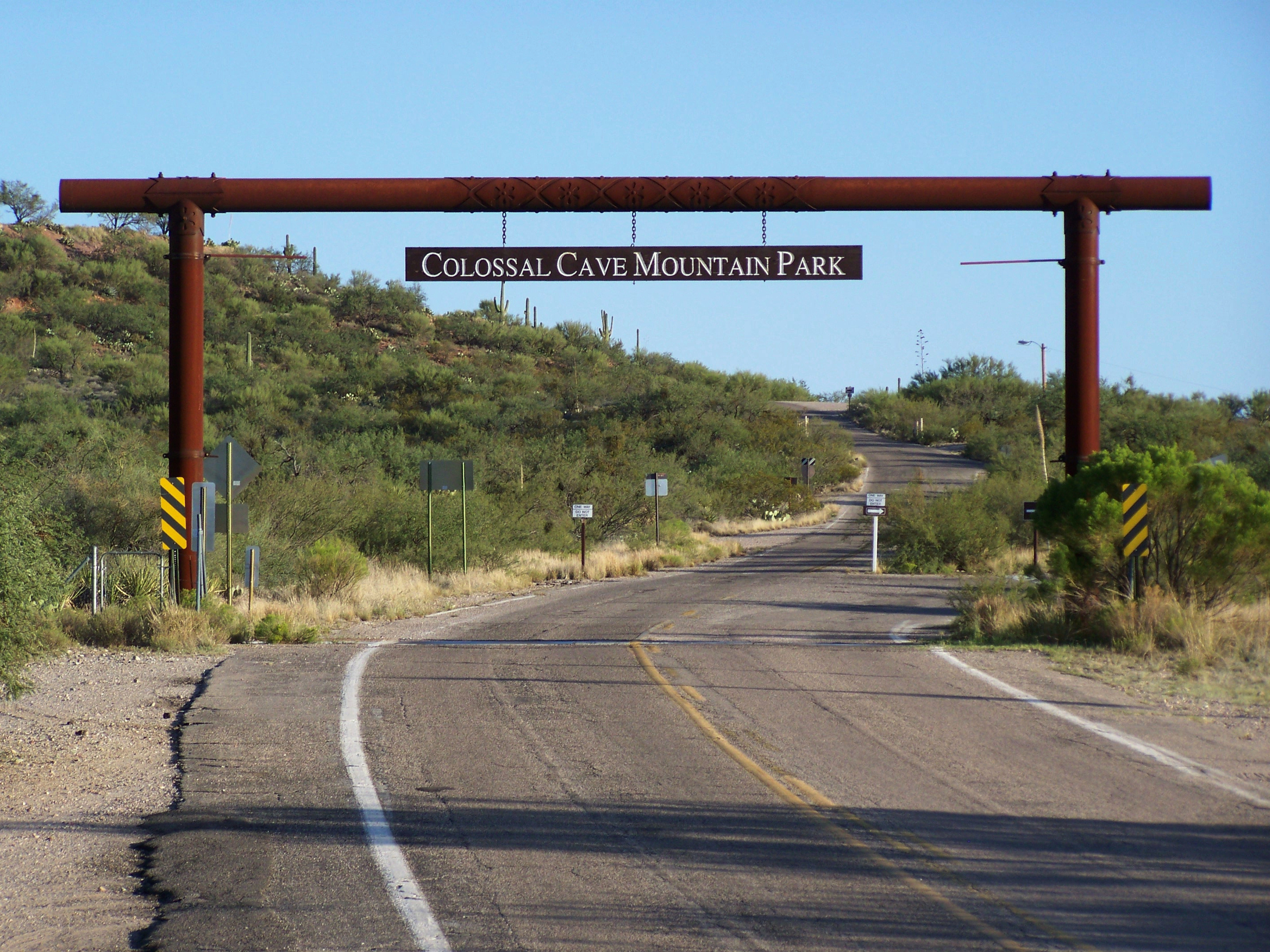
Today, Colossal Cave Mountain Park preserves not just the ancient cavern but also the human labor that made it accessible. The Civilian Conservation Corps built much of the park's infrastructure during the Great Depression, and a museum now honors their contributions. The park protects two additional caves, Arkenstone and La Tetera, both still actively forming and reserved for scientific research. The La Posta Quemada Ranch Museum tells the story of human presence in the Cienega Corridor region, while visitors can explore on horseback trails, picnic among the Sonoran Desert landscape, or wander through a butterfly garden. A bronze cowboy sculpture by Buck McCain reflects the ranching heritage that shaped this land before the tourists arrived.
From the Air
Located at 32.065N, 110.631W in the foothills of the Rincon Mountains, approximately 22 miles southeast of Tucson. The cave entrance sits at about 3,500 feet elevation. Best viewed when flying southeast from Tucson International Airport (KTUS). The Rincon Mountains rise prominently to the northeast, while the Sonoran Desert spreads below. Ryan Airfield (KRYN) lies about 30 miles west. Clear morning visibility offers the best views of the Cienega Corridor region.