Columbia Falls
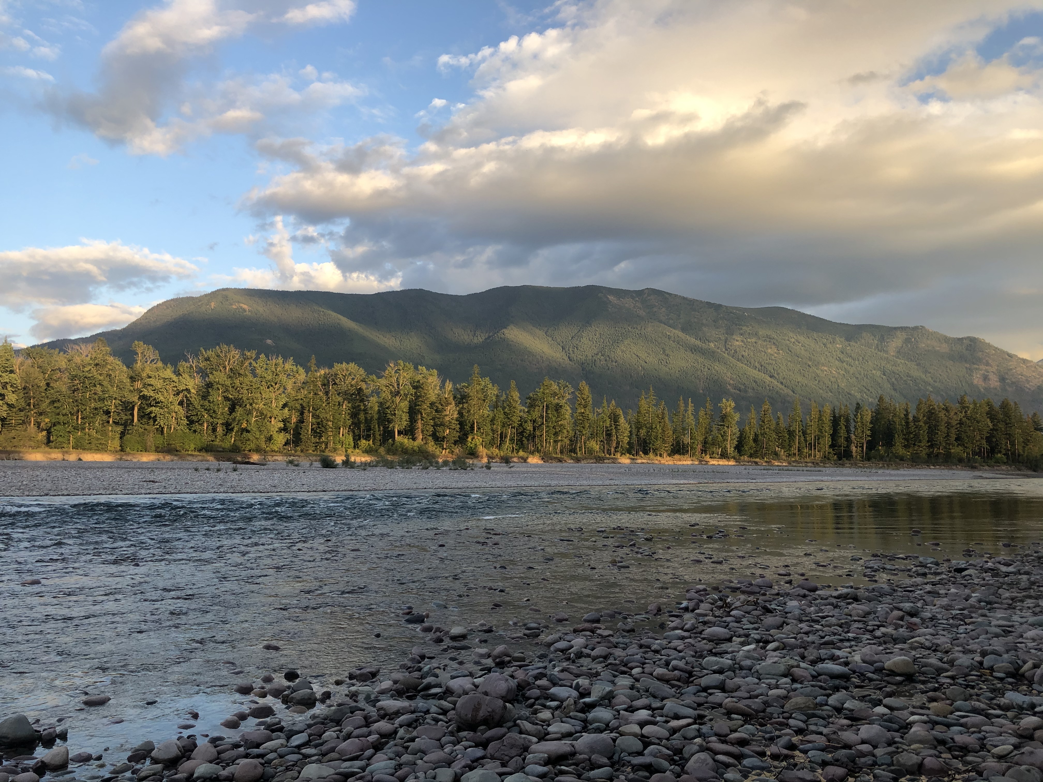
The name promises a waterfall, but none exists - at least not in the town itself. Columbia Falls took its name from ambition rather than geography, an early settler's attempt to conjure something dramatic where the Flathead River runs flat and businesslike toward its junction with the main fork. The real drama lies seventeen miles to the east, where Glacier National Park begins and the Going-to-the-Sun Road climbs toward Logan Pass. Columbia Falls positions itself as the practical gateway: close enough to access the park easily, distant enough to avoid the summer congestion that clogs West Glacier. The town earned recognition in 2020 as one of Montana's safest and best places to live, a designation that reflects its working character. This isn't a tourist village dressed up for visitors. It's a real town where people actually live, raise families, and commute to wherever the work is.
Gateway Economics
Every town near a national park faces the same question: how much to orient toward visitors versus residents? Columbia Falls has chosen a middle path. The restaurants serve tourists heading for Glacier, but they also serve locals year-round. The hotels fill in summer, but they remain open in winter for ski traffic bound for Whitefish Mountain or snowmobile explorers headed for the backcountry. The timber industry that once anchored the economy has faded, replaced by tourism and the service jobs that accompany it, but also by small manufacturing and the growing population of remote workers who can live anywhere with internet access. The town hasn't reinvented itself as a resort. It has evolved into something more sustainable: a real community that happens to be convenient to spectacular scenery.
The Hungry Horse Connection
Three miles north of Columbia Falls, the road to Glacier passes Hungry Horse Dam - a massive concrete arch wedging the South Fork of the Flathead River into the reservoir beyond. The dam stands 564 feet tall, among the highest in the country, generating power for the Pacific Northwest while creating a lake that stretches thirty-four miles into the wilderness. Tours are available during summer months, a 1.5-mile walking experience that reveals the engineering required to tame even a tributary of Montana's rivers. The reservoir itself offers boating access to country otherwise reachable only by trail. For visitors oriented toward infrastructure as much as wilderness, Hungry Horse provides a different kind of spectacle: human ambition measured in concrete and megawatts, the machinery that makes modern life in remote places possible.
The Seasonal Rhythm
Summer overwhelms everything else. When Glacier National Park receives its million-plus annual visitors, many of them pass through Columbia Falls - stopping for gas, for breakfast, for the last bathroom before the park entrance. The town handles this influx with the practiced patience of a community that has seen it before. Prices rise, wait times lengthen, and locals adjust their shopping schedules to avoid the crush. Then September comes. The crowds thin. Going-to-the-Sun Road closes to vehicles sometime in October, and the visitors who remain are the winter-hardy ones: skiers, snowmobilers, cross-country enthusiasts who understand that Montana's appeal doesn't hibernate. Columbia Falls quiets into something closer to its permanent self, the town that persists when the tourists leave. That persistence is the real story - not the dramatic peak season but the ordinary months when five thousand residents live their ordinary lives in extraordinary proximity to wilderness.
From the Air
Located at 48.37N, 114.20W on US Route 2, approximately 17nm west of Glacier National Park's west entrance. Glacier Park International Airport (FCA) is 8nm south at Kalispell with a 9,007-foot runway, the primary commercial airport serving the park. The town sits in the Flathead Valley at approximately 3,080 feet elevation; terrain rises steeply to the east toward the peaks of Glacier (highest point Mount Cleveland at 10,479 feet). Hungry Horse Dam and Reservoir are visible 3nm north. US-2 continues east through the park to East Glacier. The Flathead River (Middle Fork) runs northwest of town. Summer conditions generally VFR in the valley; mountain weather can change rapidly. Winter operations affected by snow and reduced visibility. West Glacier (park entrance) is 7nm east on US-2.