Combe Fill South Superfund Site
The fish died first. In the early 1970s, a kill event in Trout Brook -- a small stream near the border of Chester and Washington townships in Morris County, New Jersey -- triggered state inspections of a nearby 80-acre landfill. What investigators found beneath the surface of Combe Fill South would take decades to understand and even longer to remediate: a plume of benzene, chloroform, methylene chloride, and trichloroethylene seeping through the groundwater toward the wells that residents depended on for drinking water.
Buried Trouble
The landfill sits about two miles from the Borough of Chester in a relatively low-density area of Morris County. Originally operated by Filiberto Sanitation Incorporated, the site later came under the management of Chester Hills Incorporated. For years it functioned as a routine municipal landfill, accepting waste from surrounding communities. But landfills are not static objects -- they are slow-motion chemistry experiments, and the reactions happening beneath Combe Fill South's surface were producing compounds that no one had tested for when the dumping began. The area's geology, with its fractured bedrock and permeable soils, provided pathways for contaminated leachate to migrate far beyond the landfill's boundaries.
The Wells Tell the Story
In 1977, the New Jersey Department of Environmental Protection persuaded Chester Hills Incorporated to install two observation wells on the site. The results confirmed what the dead fish had suggested: groundwater contamination was real, and it had likely already spread to local water sources. By 1981, samples from 90 potable wells in the area revealed a grim inventory of contaminants -- benzene, chloroform, methylene chloride, trichloroethylene, and other volatile organic compounds. These were not trace amounts. The wells had multiple violations of the Safe Drinking Water Act. For the families drawing water from those wells, the contamination was not an abstract environmental problem. It was coming out of their taps.
Superfund Designation
In September 1983, the U.S. Environmental Protection Agency placed Combe Fill South on the National Priorities List, designating it an official Superfund site. The listing triggered a federal cleanup process that would stretch across decades. Data collected by the EPA showed elevated levels of dissolved solids across the monitored wells, and the agency's analysis identified multiple violations of federal drinking water standards. The state provided water treatment to residents living close to the landfill as an immediate measure while a longer-term plan took shape. That plan eventually comprised six phases: capping the landfill with clay to prevent rainwater from reaching buried waste, extracting and treating contaminated groundwater, managing leachate, and assessing the condition of the deeper aquifer.
The Long Remediation
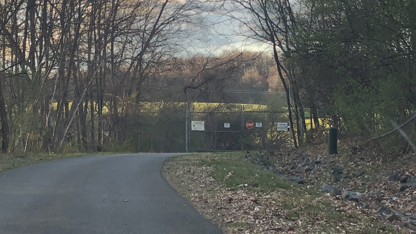
Construction of the cleanup remedy began in 1997, and groundwater extraction and treatment started that June. Over time, the air quality treatment system shifted from an active to a passive approach. But the contamination proved stubbornly persistent. As of the most recent updates, the site remains on the National Priorities List, and a study of the deep water aquifer continues. The EPA's ongoing involvement reflects a reality common to Superfund sites: cleaning up decades of contamination is not a project with a clear endpoint but a long commitment to monitoring, treating, and hoping that the chemistry eventually turns in your favor. Meanwhile, the 80 acres sit quiet on the Morris County border -- a capped and fenced reminder that what communities bury does not always stay buried.
From the Air
Located at 40.779N, 74.739W on the border of Chester and Washington townships, Morris County, New Jersey. From the air, the capped landfill appears as a large cleared mound amid the wooded hills of northwestern Morris County. Look for the distinctive flat-topped, grass-covered cap surrounded by monitoring infrastructure. Nearby airports include Somerset Airport (KSMQ) approximately 10 nm south and Morristown Municipal Airport (KMMU) about 12 nm east. Recommended viewing altitude 2,000-3,000 ft AGL.