Concepcion de Ataco
The walls came first. Around 2004, the residents of a quiet mountain town in western El Salvador decided to paint every blank surface they could find. Facades that had weathered a century of highland rain suddenly bloomed with jaguars, quetzals, coffee harvesters, and scenes from Pipil mythology. Concepcion de Ataco -- known simply as Ataco -- had entered a government-sponsored Pueblos Vivos competition, and the town committed to the effort with the enthusiasm of people who had been waiting for an excuse. The murals won, and they stayed. Today, walking Ataco's cobblestone streets feels like wandering through a gallery where the art chose its own walls.
Before the Paint, the People
Long before Spanish colonizers arrived, the town belonged to the Pipil, a Mesoamerican people who spoke Nahuatl and traced their cultural lineage to the Aztecs and Mexica of central Mexico. Their name lingers in the landscape -- Ataco, Apaneca, Ahuachapan -- but the people themselves were systematically repressed through centuries of colonial and post-colonial rule. By the twentieth century, few Indigenous Salvadorans openly identified with their heritage or spoke their native languages. The quiet of that erasure sits beneath the town's cheerful surface, a reminder that the color on the walls covers older, deeper stories. Ataco's colonial-era stone buildings survived largely because the town remained small and remote, nestled in the Apaneca-Ilamatepec mountain range at an elevation where daytime temperatures rarely exceed 25 degrees Celsius.
The Route of Flowers
Ataco sits along El Salvador's Ruta de las Flores, a winding highland road connecting a string of mountain villages between Sonsonate and Ahuachapan. The route earned its name from the wildflowers that line its shoulders during the rainy season, but it could just as easily refer to the orchids, bougainvillea, and painted blossoms covering Ataco's walls. The town has become the most popular overnight stop on the route, drawing visitors who arrive by chicken bus -- the retired American school buses, repainted in eye-popping colors, that serve as El Salvador's primary public transit. From the Terminal Occidente in San Salvador, the journey costs about two dollars and takes over two hours, winding through coffee country and cloud forest before depositing passengers into streets barely wide enough for the bus itself.
Coffee at the Edge of Town
Central America's shade-grown coffees are famous, and in Ataco the plantations begin where the cobblestones end. The cool subtropical highland climate -- temperatures dropping as low as 10 degrees Celsius on November nights -- and heavy rainfall, peaking in July, create ideal conditions for arabica beans. Small roasters operate throughout town, and the El Carmen Estate offers tours that walk visitors from plant to cup. The coffee here is not an abstraction sold in distant export markets; it is the economic engine visible from every mirador, the crop that shaped the region's history and continues to define its rhythms. Climbing La Mirador de la Cruz, you can see the plantations spreading across the slopes below, their canopy trees casting the shade that gives the beans their distinctive smooth character.
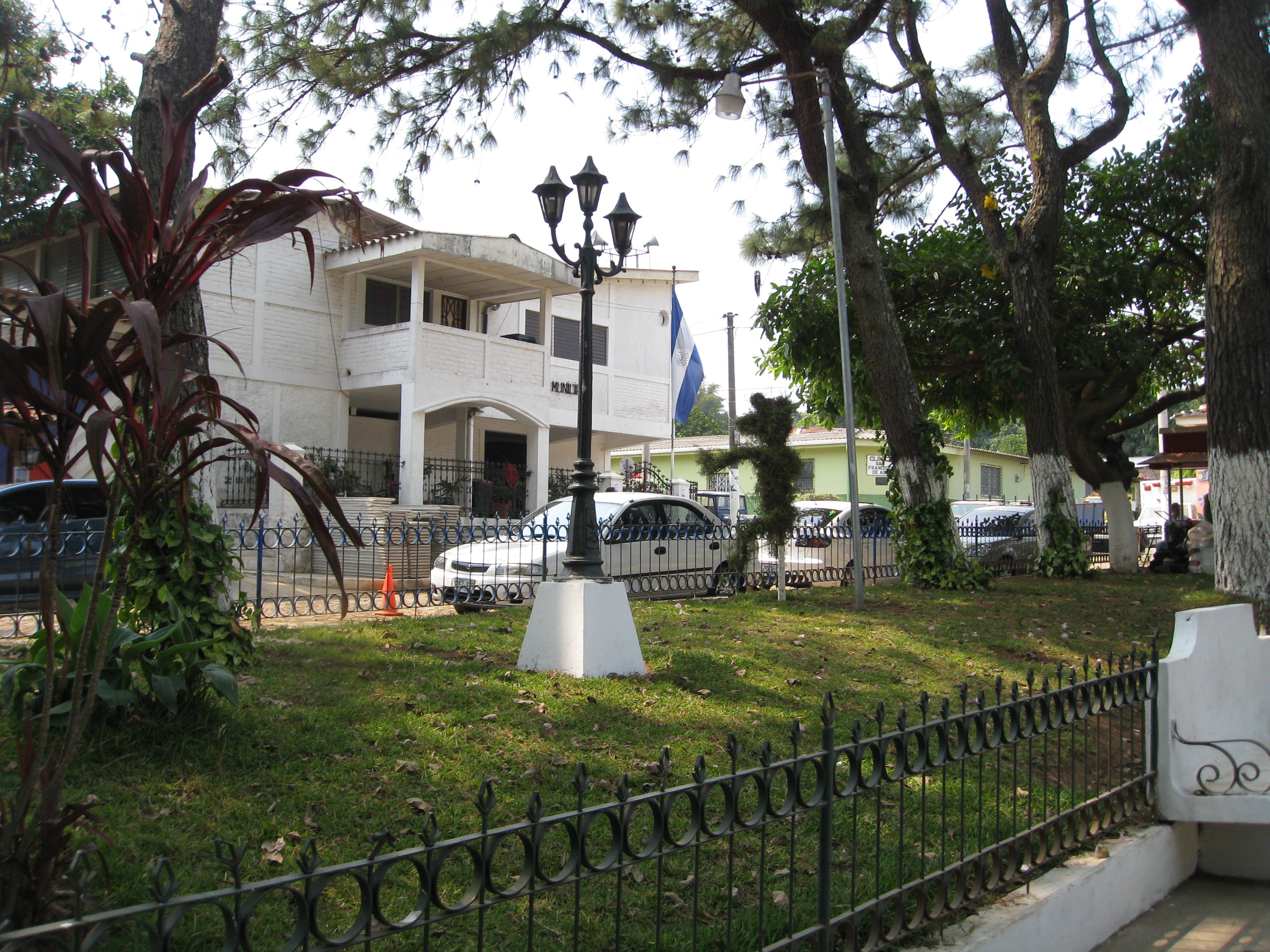
Stone and Color
Downtown Ataco is compact enough to explore on foot in an afternoon, though the temptation to linger slows most visitors considerably. Street vendors sell textiles, painted wooden crafts, and a dizzying assortment of things nobody needs but everybody wants. Moto-taxis -- the three-wheeled tuc-tucs ubiquitous across Central America -- buzz through the narrow streets, offering rides for those too charmed by the murals to notice they have walked in a circle. The weekend food market draws families from surrounding villages, filling Parque Central with the smell of pupusas and fresh coffee. For a town of this size, Ataco punches well above its weight in atmosphere. The murals are the draw, but the cobblestones, the mountain light, and the unhurried pace are what make visitors stay the night -- or two.
From the Air
Located at 13.87N, 89.85W in the Apaneca-Ilamatepec mountain range of western El Salvador, at roughly 1,200 meters elevation. From altitude, Ataco appears as a small cluster of buildings amid coffee plantations on steep green slopes. The Ruta de las Flores road is visible winding through the highlands. Nearest major airport is El Salvador International (MSLP) near San Salvador, approximately 100 km to the east. The Santa Ana Volcano and Izalco Volcano are prominent landmarks to the northeast. Look for the tight grid of colonial streets surrounded by the darker green canopy of shade-grown coffee plantations.