Cook-Folsom-Peterson Expedition
When David Folsom returned to Helena in the fall of 1869 and was asked to give a public talk about what he had seen in the upper Yellowstone country, he refused. Nobody would believe him, he said. The geysers, the canyon, the boiling springs, the waterfalls taller than Niagara - it all sounded like the ravings of a fever dream. So Folsom, along with his companions Charles Cook and William Peterson, kept largely quiet about their 36-day journey through one of the most extraordinary landscapes on Earth. The journals they submitted to the New York Tribune and Scribner's were rejected as unreliable. Yet within three years, their privately financed expedition from a dusty gold camp in Montana's Big Belt Mountains would inspire the creation of the world's first national park.
Three Men and the Uncharted Country
Diamond City was dying. The gold that had drawn thousands to Confederate Gulch was running thin by 1869, and the men who remained were looking for new prospects. Cook and Folsom had planned to join a larger expedition into the mysterious Yellowstone region, but when that fell through, they decided to go anyway. Peterson, a friend and fellow miner, agreed to join them. On September 6, 1869, the three set out with their horses and supplies, heading south along the Missouri River to Three Forks before turning east up the Gallatin Valley. They stopped in Bozeman to resupply, camped near Fort Ellis, and crossed over Bozeman Pass into the Yellowstone drainage. On September 13, they entered the region that would become the park, crossing the Gardner River near present-day Gardiner.
Wonders Beyond Words
What the three explorers encountered over the next three weeks defied their ability to describe it. At Tower Fall, they forded the Yellowstone and explored the Lamar Valley. A September snowstorm pinned them down for two days. They emerged on the rim of the Grand Canyon of the Yellowstone at what would later be named Inspiration Point, gazing down at the massive waterfalls. They traveled along Yellowstone Lake's western shore to the West Thumb geysers. They crossed the Continental Divide twice, stumbled upon Shoshone Lake, and descended into the geyser basins of the Firehole River. There they watched the Great Fountain Geyser and Excelsior Geyser erupt - steam and water exploding from the earth in displays unlike anything they had ever witnessed. On October 3, they exited the region near present-day West Yellowstone, following familiar rivers back to Diamond City, arriving on October 11.
The Story Nobody Would Print
Folsom soon took a job as field surveyor under Henry Washburn, Montana's Surveyor General. He and Cook shared their diaries and experiences with Washburn and W. W. deLacy, the territorial mapmaker, who published an updated map of the Yellowstone region based on their accounts. But when Cook combined their journals into a single narrative and submitted it for publication, both the New York Tribune and Scribner's rejected it, citing the improbability of the descriptions. It finally appeared in a heavily edited version in the Western Monthly Magazine. The full, accurate story would not be pieced together until 1965, when Yellowstone historian Aubrey Haines reconstructed it from all the fragmented accounts.
Seeds of Preservation
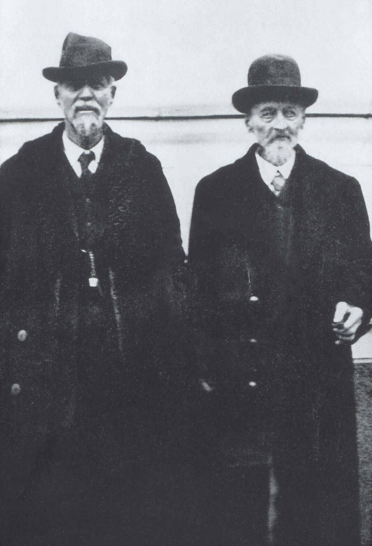
Though Folsom refused to speak publicly, he did share his experiences privately with prominent Helena citizens including Nathaniel Langford and Samuel Hauser. Those who knew Folsom believed him - and his accounts planted the seeds for what came next. In August 1870, Henry Washburn led a larger, official expedition into Yellowstone, carrying copies of the Cook and Folsom diaries and deLacy's map. That expedition's widely publicized accounts, followed by the Hayden Geological Survey of 1871, built the momentum that led Congress to create Yellowstone National Park in 1872. Cook lived long enough to attend the park's 50th anniversary celebration in 1922, finally receiving recognition for a journey that had seemed too remarkable to be true.
From the Air
The expedition's starting point of Diamond City lies at approximately 46.60°N, 111.42°W in the Big Belt Mountains east of Helena, Montana. The ghost town site is accessible visually at 3,000-5,000 feet AGL. The expedition route followed the Missouri River south to Three Forks, then east through the Gallatin Valley to Bozeman before entering Yellowstone. Nearby airports include Helena Regional Airport (KHLN) 20nm west and Bozeman Yellowstone International (KBZN) 50nm southeast. The rugged mountain terrain and variable weather of central Montana require attention to weather conditions.