Cook Strait
High water on one side, low water on the other. The tides at either end of Cook Strait are almost perfectly out of phase, which means the 22-kilometre gap between New Zealand's two main islands is not simply a body of water to cross -- it is a body of water at war with itself. Described as "one of the most dangerous and unpredictable waters in the world," the strait funnels the roaring forties into a channel where currents can hold direction for ten hours straight, where ferries have heeled to 50 degrees in 14-metre waves, and where the seabed is littered with the hulls of ships that did not make it across.
Kupe's Octopus and Tasman's Mistake
In Maori legend, the navigator Kupe discovered the strait while chasing a monstrous octopus called Te Wheke-a-Muturangi, pursuing it by canoe until he destroyed the creature in Tory Channel. When Abel Tasman arrived in 1642, he looked at the strait and saw a dead end -- a bight closed to the east, which he named Zeehaen's Bight after one of his ships. It took James Cook, arriving in 1769, to establish that the passage was navigable. He sailed through in 1770, and the strait has carried his name ever since. Whalers followed in the early nineteenth century, establishing stations in the Marlborough Sounds and along the Kapiti coast, drawn by the humpback and right whales that used the strait as a migration corridor.
The Dolphin Who Chose a Side
Between 1888 and 1912, a Risso's dolphin named Pelorus Jack became one of the most famous animals in the Southern Hemisphere. Jack would appear in Admiralty Bay, near French Pass, and swim alongside ships travelling between Wellington and Nelson, guiding them through the treacherous channel. When someone attempted to shoot him from the deck of the SS Penguin, public outrage led to a 1904 law making Pelorus Jack the first individual marine animal protected by legislation in New Zealand. The dolphin continued his escort duties for another eight years before disappearing in 1912. No one knows what happened to him, but the ships that followed sailed a lonelier passage.
A Graveyard That Keeps Growing
The strait's toll is long. In 1851, the barque Maria wrecked on rocks at Cape Terawhiti, killing 28. The paddle steamer City of Dunedin went down in 1865, taking between 50 and 60 lives. The SS Penguin struck Thoms Rock in 1909, killing 75 -- New Zealand's worst maritime disaster of the twentieth century. In 1968, the interisland ferry Wahine sank in Wellington Harbour during a ferocious storm. Even modern vessels are humbled here: in 2006, 14-metre waves caused the Interislander ferry Aratere to heel to 50 degrees, toppling rail wagons and injuring passengers during a seven-hour ordeal. Maritime New Zealand's expert witness later testified that had the ferry capsized, most aboard would have been trapped inside with no time to reach lifejackets.
Swimmers, Cables, and the Impossible Bridge
According to Maori oral tradition, the first woman to swim Cook Strait was Hine Poupou, aided by a dolphin. In modern times, Barrie Devenport completed the crossing in 1962, and Philip Rush has done it eight times, including two double crossings. The youngest swimmer was 11-year-old Aditya Raut. Oceanographer Ron Heath once published a scientific analysis of the strait's currents using nothing but the erratic tracks of swimmers -- a creative solution from an era when measuring ocean currents was technologically difficult. Beneath the waves, submarine HVDC power cables installed in 1964 and upgraded in 1991 carry up to 1,200 megawatts of electricity between the islands. Proposals for a bridge or tunnel surface periodically, but the estimated cost equals 20 years of New Zealand's transport infrastructure budget, and the strait's seismic activity makes the engineering virtually impossible.
Where Two Oceans Collide
Eighteen thousand years ago, during the Last Glacial Maximum, the strait did not exist. Sea levels were 100 metres lower, and a vast coastal plain connected the North and South Islands. As the ice melted and the sea rose, the land bridge drowned. Today, the strait is a meeting point of the Tasman Sea and the South Pacific Ocean, a corridor for humpback whales counted annually by the Department of Conservation with help from former whalers, and a habitat for bottlenose dolphins, dusky dolphins, killer whales, and the endemic Hector's dolphin. Giant squid have washed ashore here. Fur seals haul out at Pariwhero, on the Wellington coast. From the air, the strait looks deceptively calm -- a band of blue between green headlands. The turbulence lies below the surface, where submarine ridges churn currents that rival the Straits of Gibraltar.
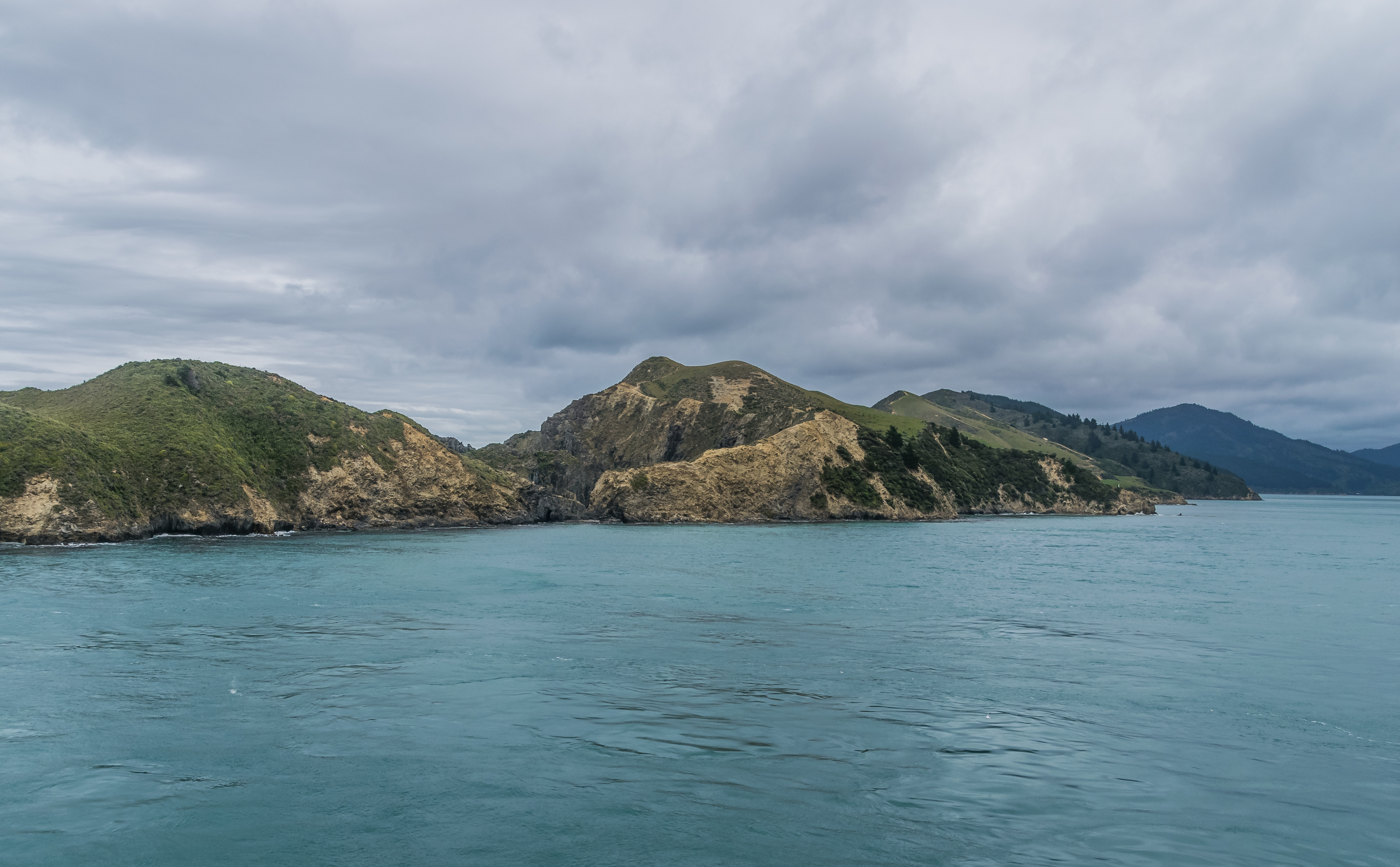
From the Air
Located at 41.23S, 174.48E, between the southern tip of the North Island and the northern tip of the South Island. At its narrowest, 22 km separates Cape Terawhiti from Perano Head on Arapaoa Island. Key airports: Wellington (NZWN) on the North Island side, Woodbourne/Blenheim (NZWB) and Picton area on the South Island side. From altitude, the Marlborough Sounds are visible to the south, and the Kapiti coast to the north. Ferries are often visible crossing between Wellington and Picton. Best viewed at 5,000-10,000 ft for full strait perspective. Expect turbulence over the water.