Coronado Historic Site: The Painted Kiva of Kuaua
The name is misleading. Coronado Historic Site is named for Francisco Vasquez de Coronado, the Spanish explorer who camped in the vicinity during 1540 to 1542, but the real story belongs to Kuaua Pueblo and the people who built it two centuries before any European arrived. Settled around 1325 by Tiwa-speaking Puebloan people, Kuaua (meaning "evergreen" in the Tiwa language) stood on the west bank of the Rio Grande for nearly three centuries. What makes it extraordinary are the murals discovered inside a square kiva in the pueblo's south plaza, pre-contact paintings that rank among the finest examples of Native American art found anywhere on the continent.
Three Centuries on the Rio Grande
Kuaua Pueblo was one of several Tiwa-speaking villages along the Rio Grande when it was settled around 1325. The pueblo grew over three centuries, expanding from south to north as archaeologists would later discover. Six kivas were built within the village in round, square, and rectangular forms, each serving as a ceremonial center for the community. The village thrived as part of a network of pueblos along the river, connected by shared language, trade, and ritual. Then came Coronado. The Spanish expedition arrived in 1540, and the ensuing Tiguex War of February 1541 devastated the Tiwa communities along the Rio Grande. Kuaua was almost certainly abandoned as a direct result of Coronado's presence and the violence that followed. By the end of the 16th century, the pueblo stood empty.
The Murals Beneath the Plaster
Between 1934 and 1939, an archaeological team led by Edgar Lee Hewett and Marjorie F. Tichy excavated the ruins of Kuaua. The dig revealed the expected progression of pueblo construction and habitation, but it also uncovered something remarkable: a series of pre-contact murals recovered from a square kiva in the south plaza. These paintings, created before 1541, depict ceremonial figures, animals, and symbolic imagery with a sophistication and artistry that stunned researchers. They represent one of the finest collections of pre-contact Native American art found anywhere in North America. The murals offer a rare window into the spiritual and artistic life of the Tiwa people before European contact irrevocably changed their world.
New Mexico's First Public Archaeological Site
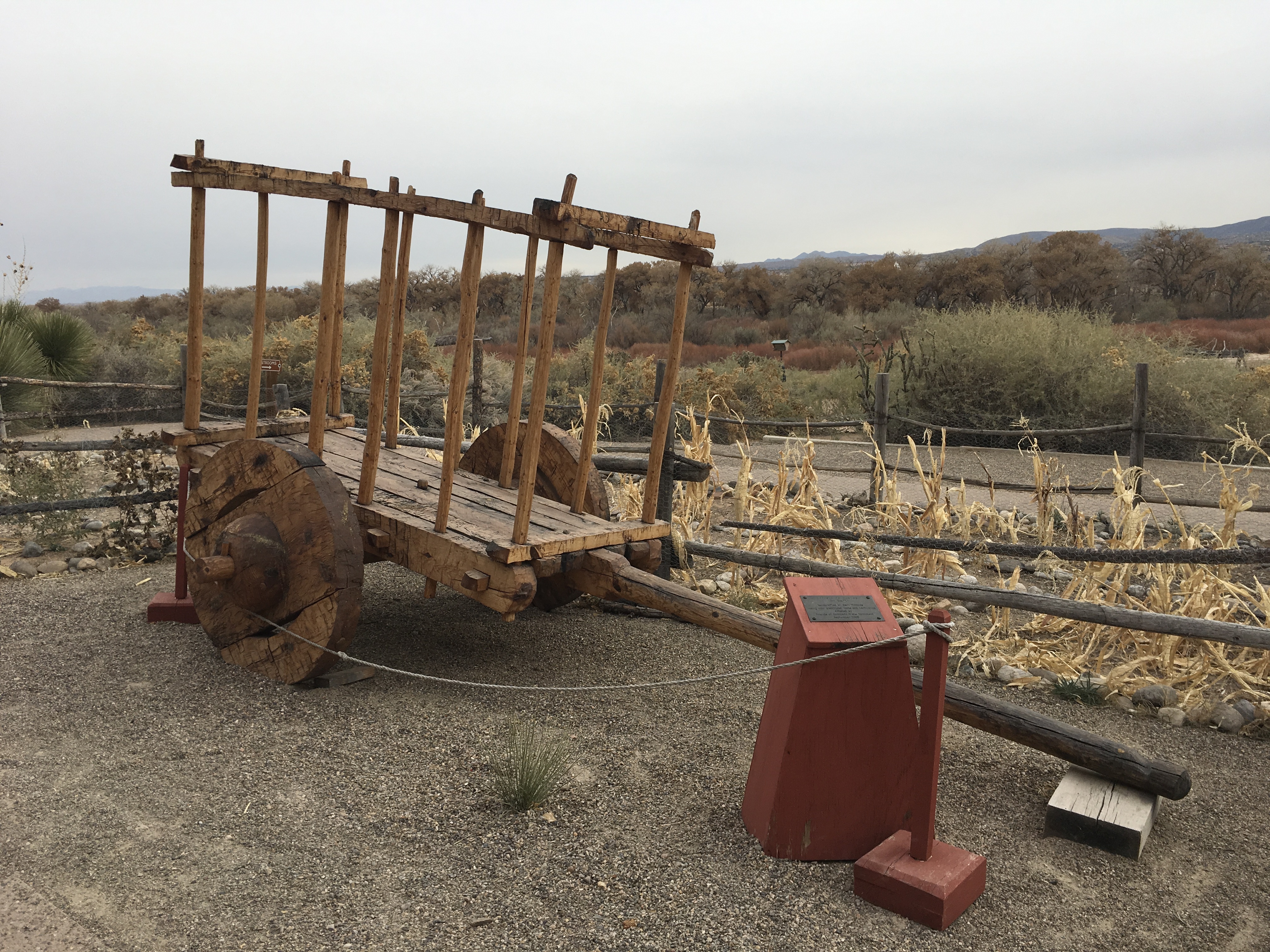
The Coronado Historic Site was the first state archaeological site in New Mexico to open to the public. It was dedicated on May 29, 1940, as part of the Cuarto Centenario, the 400th anniversary commemoration of Coronado's entry into New Mexico. James F. Zimmerman served as its first president. The visitor center was designed by John Gaw Meem, one of the Southwest's most celebrated architects, known for his distinctive Pueblo Revival style. Inside, fourteen of the restored kiva murals are displayed alongside Pueblo Indian and Spanish Colonial artifacts. An interpretive trail winds through the pueblo ruins and along the west bank of the Rio Grande, where cottonwoods shade the path and the river flows as it did when Kuaua's residents drew water from its banks.
Where the River Remembers
Today Coronado Historic Site sits along U.S. Route 550, one mile west of Bernalillo and 16 miles north of Albuquerque. It is part of the state-governed Museum of New Mexico system. The setting along the Rio Grande remains much as it was when the Tiwa people chose this spot nearly seven centuries ago: a broad river valley flanked by mesas, with the Sandia Mountains rising to the south and the Jemez range visible to the northwest. The pueblo ruins are low walls now, outlines of rooms and plazas that once housed a living community. But inside the visitor center, the kiva murals still carry the colors and imagery their creators intended. They are the heart of this place, painted by hands that knew this landscape long before it was given a Spanish explorer's name.
From the Air
Located at 35.33°N, 106.56°W along the Rio Grande, in Sandoval County, New Mexico. The site is 1 mile west of Bernalillo and 16 miles north of Albuquerque, adjacent to U.S. Route 550. The Rio Grande is the dominant landscape feature, flowing through a broad valley between mesas. Nearest airports: Albuquerque International Sunport (KABQ) approximately 16 nm south, Double Eagle II Airport (KAEG) approximately 12 nm southwest. Flat terrain along the river corridor; best viewed at moderate altitude in clear conditions.