Crater Lake National Park
The Klamath people tell of a cosmic battle between Llao of the Below World and Skell of the Above World. When the fighting ended, Llao's home lay in ruins, its mountain summit collapsed into a vast pit that slowly filled with water. Modern geologists describe the same event in different language: around 5700 BCE, Mount Mazama erupted with a force that produced 150 times more ash than the 1980 eruption of Mount St. Helens, then collapsed into its emptied magma chamber. The result was identical: a caldera nearly six miles across that filled with rain and snowmelt over 740 years to become Crater Lake.
On June 12, 1853, three gold prospectors stumbled upon this place while hunting for provisions. John Wesley Hillman, Henry Klippel, and Isaac Skeeters gazed down at water so intensely blue it seemed unreal. They named it Deep Blue Lake. The spot where Hillman first saw the lake became Discovery Point, and that color, that impossible indigo, has drawn visitors ever since.
The Deepest Water
At 1,949 feet, Crater Lake plunges deeper than any other lake in the United States, ranks second-deepest in North America (after Great Slave Lake in Canada), and eleventh-deepest in the world. That depth creates its legendary color: with no rivers flowing in or out, the water achieves remarkable clarity, allowing sunlight to penetrate deep into the lake where red wavelengths are absorbed and only blue reflects back. The lake rarely freezes despite eight months of snow cover annually. Its immense depth acts as a thermal reservoir, maintaining an average surface temperature that keeps ice at bay. The last complete freeze occurred in 1949; a 95 percent freeze happened in 1985. The bottom temperature holds steady year-round, a constant reminder of the vast volume of water contained within these volcanic walls.
Destruction and Creation
Mount Mazama began building itself 400,000 years ago as overlapping shield volcanoes that eventually rose to an estimated 12,000 feet. Lava flows alternating with pyroclastic eruptions constructed a stratovolcano that dominated the southern Oregon landscape. Then came the cataclysm. The eruption deposited ash as far east as Yellowstone, as far south as central Nevada, as far north as British Columbia. When Mazama collapsed, it lost nearly a mile of elevation. Today, at least 13 cinder cones within park boundaries and another 11 outside preserve evidence of the region's volcanic complexity. The Pinnacles, spires of cemented ash and pumice, mark where hot gases once escaped through fumaroles. The Pumice Desert, a thick layer of volcanic debris, remains largely barren even after seven millennia, its porous soil draining water too quickly for most plants to survive.
Wizard Island and the Phantom Ship
Volcanic activity did not cease with Mazama's collapse. Within the caldera, subsequent eruptions built Wizard Island, a cinder cone that rises 755 feet above the lake surface. Boat tours operated by park concessioners visit the island daily during summer, departing from Cleetwood Cove, the only trail accessing the lakeshore. That steep path, first opened in 1960, descends 700 feet over 1.1 miles at an 11 percent grade. All boats in the lake arrived by helicopter, as no road reaches the water. Near the southern rim, the Phantom Ship, a jagged rock formation of 400,000-year-old volcanic material, rises from the depths like the weathered hull of a ghost vessel. It predates Mazama's main construction phase, a remnant of the earliest volcanic activity in this location.
Rim Drive and High Country
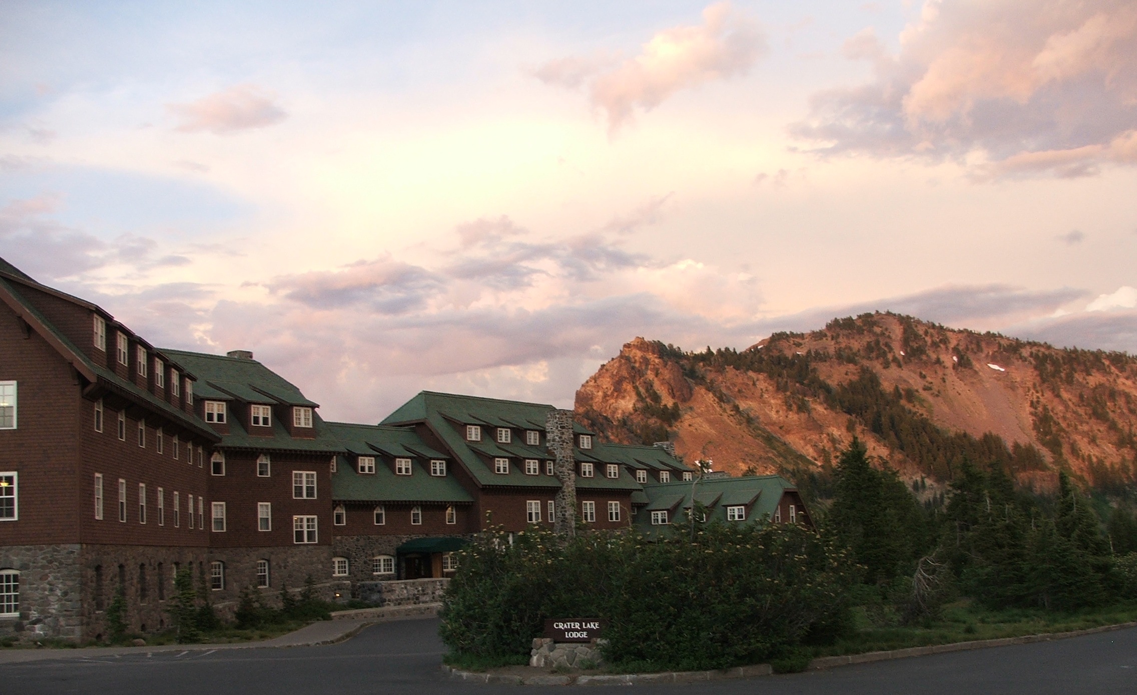
The 33-mile Rim Drive circles the caldera, offering viewpoints that reveal the lake from every angle. Completed in 1918, three years after Crater Lake Lodge opened, the road climbs and descends through elevation changes that compress multiple climate zones into a single scenic drive. Mount Scott, the park's highest point at 8,929 feet, requires a fairly steep 2.5-mile hike but rewards clear-weather visitors with views exceeding 100 miles: the entire caldera spread below, Cascade volcanoes marching north, the Columbia Plateau stretching east, the Klamath Mountains rising to the west. The Pacific Crest Trail, that 2,650-mile path from Mexico to Canada, passes through the park, threading between volcanic features and old-growth forests that cover significant portions of the park's 183,224 acres.
A Land of Extremes
Park headquarters sits at 6,450 feet elevation, where snow falls more frequently than at any other long-term weather station in Oregon. Winter typically begins in September and lingers until June, delivering an average of 43 feet of snow annually. One hundred and one days per year bring measurable snowfall. The records tell of single days with 21 inches, single months with 313 inches, single years with 903 inches. By early spring, snow accumulates to depths of 10 to 14 feet. Through it all, lynx and bobcat prowl the forests, black bears emerge from hibernation, and bald eagles soar above waters where kokanee salmon and rainbow trout, introduced between 1888 and 1941, now reproduce naturally. In July and August, as the park description notes, one magnificent day typically follows another.
From the Air
Located at 42.91N, 122.15W in southern Oregon's Cascade Range. The caldera is unmistakable from altitude: a nearly circular lake approximately 5 miles across surrounded by steep rim walls. Wizard Island is visible near the western shore, the Phantom Ship rock formation near the southern rim. Mount Scott rises to 8,929 feet to the east of the caldera. Best viewed at 10,000-15,000 feet for full caldera perspective, or 5,000-8,000 feet for detail. Rim Drive circles the entire crater. Nearest airports: Klamath Falls (KLMT) approximately 50 miles southeast, Crater Lake-Klamath Regional. Heavy snow closes most park roads September through June. Summer offers optimal visibility and access.