Dairizuka Kofun
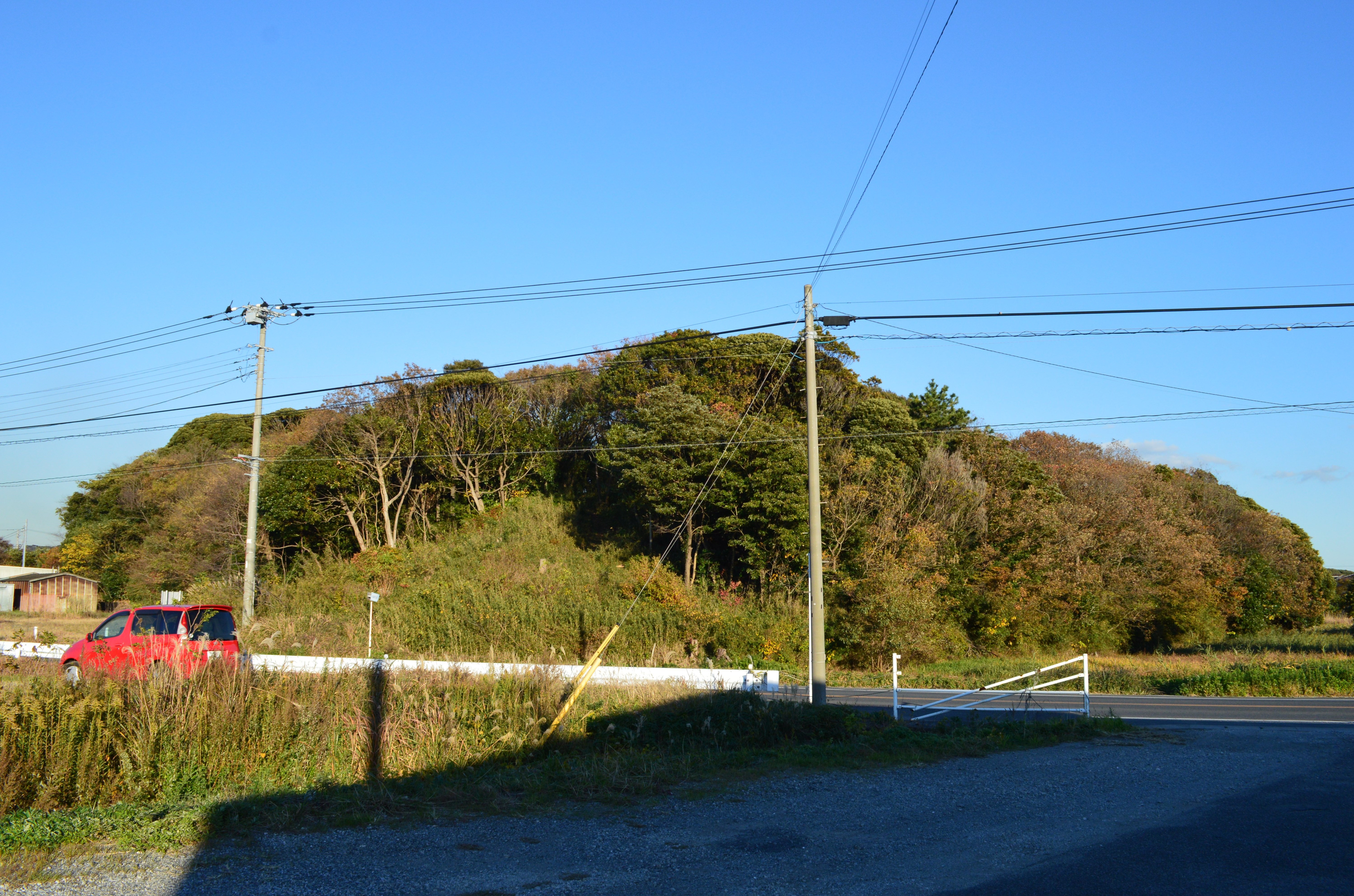
From the air, it looks like a giant keyhole pressed into the earth -- one end perfectly circular, the other squared off in a clean rectangle, both rising 13 meters above the estuary lowlands of the Koito River. The Dairizuka Kofun stretches 144 meters from end to end, the largest keyhole-shaped burial mound in all of southern Kanto. Sixteen centuries of typhoons, earthquakes, and rice paddies have worn its edges, but the basic shape remains unmistakable, a monument to a ruler whose name has been lost to time but whose power was literally carved into the landscape of what is now Futtsu, Chiba Prefecture.
A Kingdom at the Crossroads
The Koito River valley was not chosen by accident. Where the river empties into Tokyo Bay on the central Boso Peninsula, the ancient Kingdom of Sue controlled one of the most strategic crossroads in early Japan. From here, ships could reach the Miura Peninsula across the bay and from there travel onward to the Kansai region and the powerful Yamato court. The concentration of burial mounds along the Koito River -- 47 in total, including 11 keyhole-shaped tumuli built between the mid-5th and 7th centuries AD -- speaks to centuries of wealth flowing through this corridor. Whoever controlled the crossing controlled the commerce, and whoever controlled the commerce built the biggest tombs. The Dairizuka Kofun, dating to the early 5th century, was the earliest and grandest of them all.
The Keyhole and Its Guardians
The tumulus was constructed in two tiers, its slopes once armored with fukiishi -- carefully placed stones that prevented erosion and gave the mound a gleaming, fortress-like appearance. A moat originally encircled the entire structure. Most striking were the haniwa, the clay figures that stood sentinel around the mound in three concentric rows. These were not simple cylinders. The Dairizuka haniwa took the forms of houses, morning-glory blossoms, and human figures, a terracotta court arranged to serve the deceased in the afterlife. The keyhole shape itself, known as zenpokoenfun, is unique to the Japanese archipelago -- a funerary form found nowhere else on earth, combining a circular burial mound with a rectangular ceremonial platform extending forward like the prow of a ship.
Swords, Mirrors, and a Whistling Arrow
When Tokyo Imperial University excavated the Dairizuka Kofun in 1906, they found two stone burial chambers aligned along the mound's central axis within the circular rear section. The eastern chamber, 5.75 meters long, held two sets of human remains alongside five iron swords, a dagger, a sickle, chopsticks, and an iron glove. The western chamber was larger at 7.55 meters, and its contents were richer: a bronze mirror, five iron swords, a long sword, a spear, and gold-bronze metal fittings of a type found in only two other places -- a tomb in Fukuoka Prefecture and burial sites in the Mimana region of the Korean Peninsula. This connection points to trade networks or political alliances stretching across the sea. The most unusual find was a kabura-ya arrowhead carved from deer bone, designed to whistle in flight. These artifacts now reside at the National Museum of Japanese History in Sakura, Chiba.
Legends and the Yamato Hero
Local tradition offers two candidates for the tomb's occupant, neither definitively proven. The Kujiki chronicle records that the Kingdom of Sue was governed by a kuni no miyatsuko, a regional lord appointed by the Yamato court. Given that Dairizuka is the largest keyhole kofun in the southern Kanto region, archaeologists consider it plausible this was the grave of that ruling family. A competing folk legend claims the mound belongs to a daughter of Takahashi no Mushimaro, a poet whose verses appear in the Man'yoshu, Japan's oldest anthology of poetry. But the dates do not align -- Mushimaro lived during the Nara period, at least two centuries after the tomb was sealed. What is certain is that the site sits along the legendary route that the semi-mythical hero Yamato Takeru followed on his campaign to conquer eastern Japan for the imperial court, a journey that passed directly through the Kingdom of Sue.
A Monument Preserved
The Japanese government designated Dairizuka Kofun a National Historic Site in 2002, expanding the protected area in 2009. The mound rises today from a quiet residential neighborhood in Futtsu, a ten-minute walk from Aohori Station on the JR East Uchibo Line. It is a strangely domestic setting for such an ancient monument -- children walk past it on their way to school, and houses crowd its edges. Yet the keyhole silhouette remains clear from above, a shape that no amount of suburban development can obscure. It is a reminder that beneath the ordinary surface of the Boso Peninsula lies one of the richest archaeological landscapes in Japan, a place where the political ambitions of 5th-century warlords were written not in words but in earth, stone, and clay.
From the Air
Located at 35.33N, 139.86E on the Boso Peninsula near the city of Futtsu, Chiba Prefecture. The keyhole shape of the kofun is clearly visible from low altitude. The site sits in the Koito River lowland near the eastern shore of Tokyo Bay. Nearest airports include Tokyo Haneda (RJTT) approximately 30nm northwest across the bay, and Kisarazu (RJAK), a JGSDF airfield approximately 12nm north. The Boso Peninsula coastline and the distinctive curve of Tokyo Bay provide excellent visual references for navigation.