Davis Mountains
Thirty-five million years ago, the Trans-Pecos Volcanic Field erupted in fury, leaving behind an irregular jumble of peaks and ridges that would become Texas's most unexpected sanctuary. The Davis Mountains rise from the Chihuahuan Desert like a geological afterthought, an island of green in a sea of brown, where quaking aspens whisper secrets more commonly heard in Colorado and ten species of hummingbirds dart through montane meadows. This is a sky island, a place where elevation creates climate, and where the sharp boundary between desert floor and forested summit tells the story of 35 million years of change.
A Forest Among the Thorns
The concept of a sky island perfectly captures what makes the Davis Mountains remarkable. At the base, the town of Fort Davis sits in the desert, but climb upward and temperatures drop while rainfall increases. The result is an island of forest habitat surrounded by arid land, a biological ark preserving species that have retreated to these heights since the last ice age. Four distinct woodland zones layer the slopes. Alligator juniper and pinyon pine dominate the lower reaches. Gray oak takes over in moister soils. But the true treasures hide in the mesic forests between the stream valleys, where ponderosa and southwestern white pine tower above the landscape. Two small groves of quaking aspen cling to the cliffs near Mount Livermore's summit, remnants of a cooler, wetter Texas that existed during glacial times.
Where Texas Reaches for the Stars
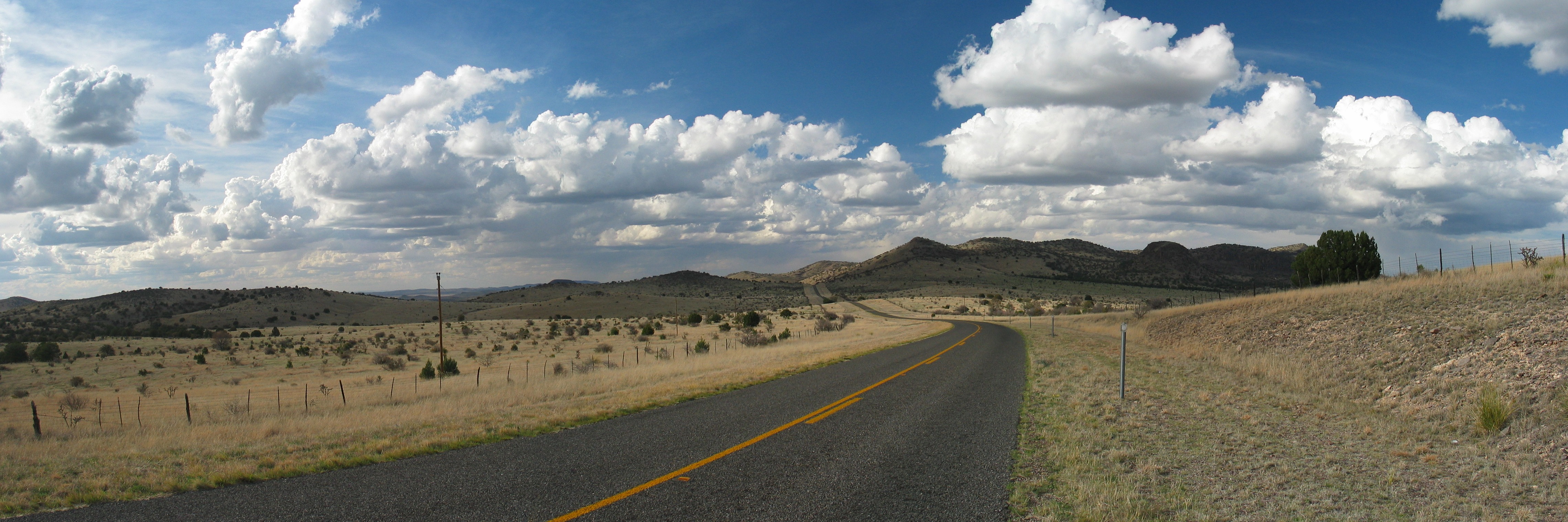
Spur 78 climbs toward Mount Locke through hairpin turns and breathtaking vistas, reaching 6,791 feet at its summit, making it the highest state-maintained road in Texas. Here sits McDonald Observatory, taking advantage of some of the darkest skies in North America. The view from the top reveals the Davis Mountains' true character: not a single coherent range but an irregular jumble of isolated peaks and ridges separated by flatter areas, occupying a rough square about fifty miles on each side. Mount Livermore, the highest peak at 8,378 feet, stands as the fifth-highest point in Texas, its summit surrounded by those remarkable aspen groves that have no business being this far south.
Wings Over the Desert
The Davis Mountains draw birdwatchers from across the continent. Over 277 species have been recorded at Davis Mountains State Park alone, a staggering diversity that reflects the region's position at the crossroads of temperate and subtropical zones. Ten species of hummingbirds patrol the mountain meadows, their ranges extending from Mexico into this isolated pocket of suitable habitat. Large mammals roam the slopes as well, including whitetail and mule deer, elk, black bear, and cougar. But one visitor came only once: the last grizzly bear ever recorded in Texas was killed in the Davis Range in 1890, ending a chapter of wildness that has never returned.
The Republic That Wasn't
History took a strange turn in the Davis Mountains on April 27, 1997, when Rick McLaren, leader of a group calling itself the Republic of Texas, staged an armed attack on his neighbor's house and demanded the property be ceded to his self-proclaimed nation. Three hundred state troopers surrounded McLaren's compound for nearly a week, with his five followers, his wife, and the victims of the attack trapped inside. One follower was shot during the standoff. McLaren was arrested and sentenced to what amounted to life in prison, ending the strangest chapter in the Davis Mountains' modern history.
A Conserved Future
Most of the Davis Mountains remain in private hands, working ranch land that has shaped the landscape for over a century. But since 1996, the Nature Conservancy has quietly assembled a remarkable preserve, acquiring 33,000 acres and securing conservation easements on another 70,000 adjoining acres. The Davis Mountains Preserve opens to the public at specified times, offering glimpses of a landscape that prehistoric peoples, Spanish explorers, Comanche raiders, and American ranchers all knew in their turn. Fort Davis National Historic Site preserves the military history of the region, while Davis Mountains State Park protects a slice of this unique ecosystem for future generations.
From the Air
The Davis Mountains are located at 30.63N, 104.17W in West Texas. From altitude, look for the distinctive irregular jumble of peaks and ridges rising from the surrounding desert. McDonald Observatory's white domes are visible atop Mount Locke. The nearest airport is Marfa Municipal (KMRF), approximately 25 miles southwest. Approach from the east for the best views of the sky island effect where desert meets mountain forest. Maintain awareness of mountain weather conditions and potential turbulence over the peaks.