Dead Man's Curve
Every road on Earth with a painted center line owes a debt to a curve in Michigan's Upper Peninsula that kept killing people. In 1917, on a stretch of road between Marquette and Negaunee known simply as Dead Man's Curve, Marquette County road engineer Kenneth Ingalls Sawyer watched drivers cut to the inside of the turn, drifting into oncoming traffic with deadly regularity. His solution was deceptively simple: he painted a line down the middle of the road and added directional arrows. Drivers stayed in their lanes. The crashes slowed. And within decades, the painted center line had been adopted on highways worldwide. The curve that inspired one of the most important safety innovations in transportation history still exists, carrying traffic along what is now County Road 492.
The Man Behind the Line
Kenneth Ingalls Sawyer was born in 1884 in Menominee, Michigan, and graduated from the University of Michigan with a degree in civil engineering in 1907. By 1916, he had settled in Marquette County as engineer and superintendent of the county highway department, a position he would hold until his death in 1944. Sawyer was a practical problem-solver, not a theorist, and the challenge at Dead Man's Curve was urgent. The road between Marquette and Negaunee carried heavy traffic for the era -- iron miners, lumber wagons, and the growing number of automobiles that were transforming travel in the Upper Peninsula. Along the curves, drivers instinctively followed the shortest path, hugging the inside regardless of oncoming traffic. Head-on collisions were frequent and often fatal. Sawyer's painted center line was the first on a rural highway in the United States, and his directional arrows were an additional innovation that guided drivers to the correct lane.
A Curve with a Body Count
The name Dead Man's Curve was not metaphorical. The stretch of road earned its grim nickname through repeated fatalities in the early days of automobile travel. County Road 492, originally designated as part of State Highway M-15 when it joined the Michigan state trunkline highway system as early as 1917, connected Marquette Township to the mining city of Negaunee along a route that wound through forested terrain with limited sight lines. The curve itself was sharp enough that drivers approaching at even moderate speeds could lose control, and the absence of any lane markings meant that two vehicles rounding the bend from opposite directions had no shared understanding of where one lane ended and another began. Michigan claims two roads as the birthplace of the painted center line -- County Road 492 in Marquette County and River Road in Wayne County near Detroit. The Wayne County line may have been the first in an urban setting, but Sawyer's line on CR 492 is recognized as the first on a rural highway, where higher speeds made the innovation especially critical.
From Local Fix to Global Standard
What started as one engineer's practical response to a local hazard became a universal standard remarkably quickly. Sawyer's painted center line worked so well that Michigan adopted it statewide, and other states soon followed. By the 1920s, painted lane markings were spreading across American highways, and by mid-century they had become standard practice around the world. The simplicity of the idea is part of what makes it so easy to overlook. Before Sawyer's line, road safety depended almost entirely on driver judgment and posted speed limits. The painted stripe introduced a visual grammar that every driver could read instantly -- a shared language of the road that transcended literacy, language, and driving experience. Sawyer was inducted into the Michigan Transportation Hall of Honor in 1973 for this and other highway innovations. The airport that serves Marquette County today, Sawyer International (now Marquette Sawyer Regional), bears his name.
The Curve Today
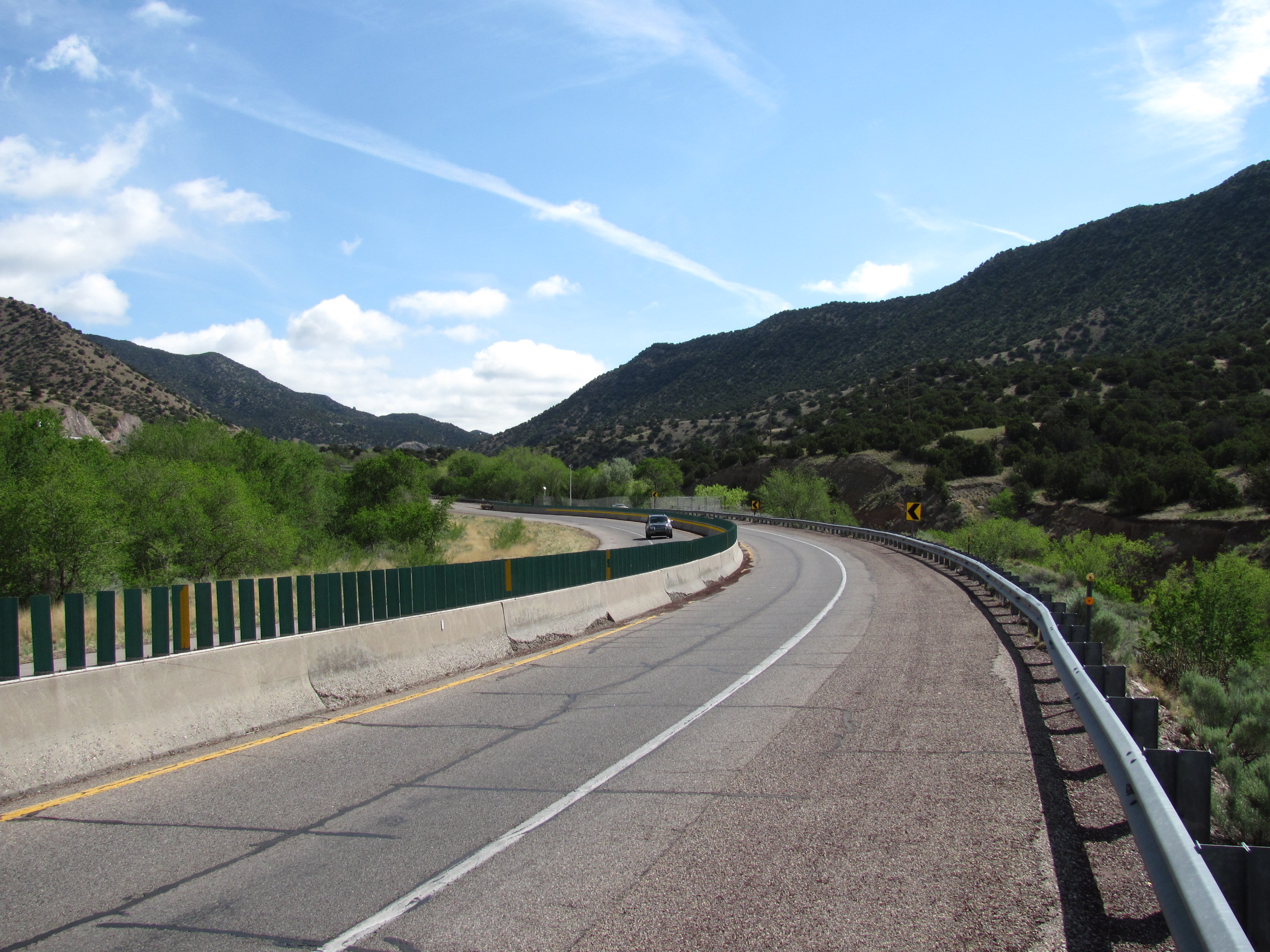
County Road 492 still carries traffic between Marquette Township and Negaunee, and the curve that once claimed so many lives is still there, though modern road engineering and -- of course -- painted lane markings have made it far safer than in Sawyer's day. The road passes through the iron-range landscape of Michigan's Upper Peninsula, with dense forests and old mining communities on either side. A historical marker near the site commemorates the innovation. For anyone who has ever followed a painted line around a blind curve at highway speed without a second thought, this quiet stretch of road in Marquette County is where that unconscious trust began.
From the Air
Dead Man's Curve is located at approximately 46.532N, 87.474W in Marquette Township, Marquette County, Michigan, along County Road 492 between Marquette and Negaunee. From the air, look for the winding road corridor through forested terrain west of the city of Marquette. The nearest airport is Marquette Sawyer Regional (KSAW), approximately 10nm to the south-southwest. Recommended viewing altitude: 2,000-4,000 feet AGL. The curve is not dramatically visible from high altitude but the road's alignment through the forest is traceable. Lake Superior's south shore lies to the north, providing a prominent visual reference.