Dealey Plaza
The term 'grassy knoll' entered the English language at 12:55 p.m. on November 22, 1963, twenty-five minutes after shots rang out across a small city park in Dallas. UPI reporter Merriman Smith, riding in the press pool car behind Kennedy's limousine, grabbed the car's radio-telephone and dictated his second dispatch: 'Some of the Secret Service agents thought the gunfire was from an automatic weapon fired to the right rear of the president's car, probably from a grassy knoll to which police rushed.' Walter Cronkite repeated the phrase on CBS. Within hours, every American knew the words. The patch of sloping grass Smith described is still there, unchanged, in a plaza that has been deliberately held in a kind of architectural amber ever since.
Before the Shots
Dealey Plaza was completed in 1940 as a Works Progress Administration project at the western edge of downtown Dallas, where three streets -- Main, Elm, and Commerce -- converge to pass under a railroad bridge known locally as the triple underpass. The plaza is named for George Bannerman Dealey, a civic leader and early publisher of The Dallas Morning News, who campaigned for the area's revitalization. Dealey lived from 1859 to 1946 and never saw his name attached to anything more than a civic improvement project. The monuments lining the plaza honor prominent Dallas residents and predate Kennedy's visit by many years. The site is sometimes called the 'birthplace of Dallas' because John Neely Bryan's original 1841 settlement stood nearby. Before November 1963, the plaza was simply the point where downtown met the railroad tracks.
Twelve Seconds in November
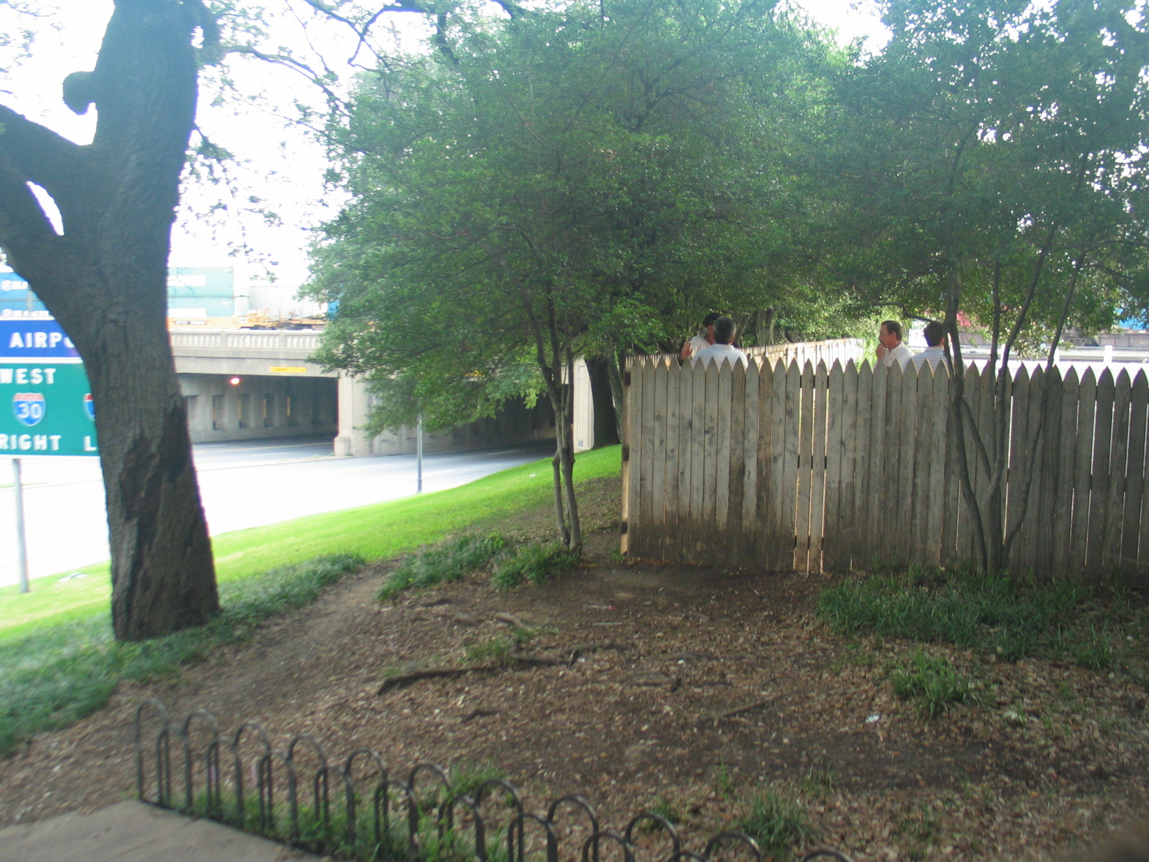
The presidential motorcade turned from Houston Street onto Elm Street at approximately 12:30 p.m. on November 22, 1963. Both the Warren Commission and the House Select Committee on Assassinations concluded that Lee Harvey Oswald fired from the sixth-floor southeast corner window of the Texas School Book Depository, a seven-story building on the north side of the plaza. Kennedy was pronounced dead at Parkland Memorial Hospital roughly thirty minutes later. The grassy knoll -- a small, sloping hill to the northwest, studded with live oak trees and bordered by a wooden stockade fence -- was above and to the right of the motorcade. Abraham Zapruder filmed the motorcade from a concrete pedestal on the knoll, producing the most consequential home movie in American history. Mary Moorman snapped a Polaroid from across Elm Street that the Associated Press distributed worldwide.
Frozen in Place
On November 22, 1993, the 30th anniversary of the assassination, the National Park Service designated Dealey Plaza a National Historic Landmark District. The designation encompasses roughly the area between Pacific Avenue, Market and Jackson streets, and the former railroad tracks. Because of it, nothing of significance has been torn down or rebuilt in the immediate area. Visitors today see streetlights and street signs that were in use in 1963 -- some moved, some removed, but many in their original positions. The buildings immediately surrounding the plaza have not been altered, presenting a stark contrast to the ultra-modern Dallas skyline rising directly behind them. On the 40th anniversary in 2003, the city of Dallas approved plans to restore the plaza to its exact appearance on the day of the assassination. The first phase, costing $700,000 for repair work along Houston Street, was completed on the 45th anniversary in 2008.
The Sixth Floor and Six Million Visitors
The former Texas School Book Depository now houses the Sixth Floor Museum, which occupies the top two floors of the seven-story building. Since opening in 1989, more than six million people have visited. A one-story brick visitor center, constructed the same year and designed to mimic the depository's materials and architectural elements, extends north along Houston Street. The Old Red Courthouse, a Romanesque Revival structure built between 1890 and 1892 from Pecos red sandstone and Little Rock blue granite, sits directly across from the plaza and now houses the Old Red Museum of Dallas County History and Culture. One block away stands the John F. Kennedy Memorial, a cenotaph designed by architect Philip Johnson. The Missouri-Kansas-Texas Railroad yards west of the depository, including the interlocking tower, remain as they were -- six tracks converging into four at the triple underpass.
A Place People Still Visit
Dealey Plaza is visited daily by tourists who walk Elm Street, stand on the grassy knoll, and look up at the sixth-floor corner window. The plaza occupies barely three acres, yet it carries an outsized weight in American memory. Over more than sixty years, Elm Street has been resurfaced several times, lane stripes relocated, lamp posts moved and added, trees and hedges grown taller. But the essential geography -- the converging streets, the triple underpass, the knoll, the depository -- remains legible. An EarthCam webcam streams a live view from the sixth-floor window twenty-four hours a day. The small plaque commemorating the assassination sits quietly in the grass, easy to miss among the tour groups and the conspiracy theorists who still gather along the fence line, pointing at the knoll, the storm drains, the windows.
From the Air
Located at 32.779°N, 96.809°W on the western edge of downtown Dallas. The triple underpass where three streets converge is the most identifiable feature from altitude. The plaza is small -- about three acres -- and sits between the modern downtown skyline to the east and the railroad tracks to the west. Best viewed from 1,500-3,000 ft AGL. Nearest airports: KDAL (Dallas Love Field, 5 nm NW), KDFW (Dallas/Fort Worth International, 22 nm NW). Reunion Tower, with its distinctive geodesic dome, stands roughly 1,000 feet to the southwest and serves as a useful navigation landmark.