Death Valley: The Hottest Place on Earth
Death Valley earned its name. In 1849, a group of gold seekers entered the valley and struggled for weeks to escape; one died before they found a way out, and as survivors climbed the surrounding mountains, one reportedly looked back and said 'Goodbye, Death Valley.' The name stuck. So did the heat. On July 10, 1913, Furnace Creek Ranch recorded 134°F - the highest reliably measured temperature in Earth's history. Meteorologists debate whether the reading was accurate; Death Valley doesn't care. It remains the hottest place on Earth by any reasonable measure, a below-sea-level basin where summer temperatures routinely exceed 120°F and the landscape looks like the surface of another planet.
The Heat
Death Valley's heat results from geography. The valley floor sits 282 feet below sea level, the lowest point in North America. Mountain ranges trap air in the basin. When desert sun heats the valley floor, hot air rises but cannot escape; it cools, sinks, and reheats, creating a convection oven. Summer temperatures regularly exceed 120°F. Ground temperatures can reach 200°F. The Furnace Creek Visitor Center has recorded the world's highest reliably measured temperature multiple times. The heat is not just uncomfortable - it's lethal. Hikers and visitors die here every year, overwhelmed by conditions that kill faster than expected.
The Record
The 134°F reading on July 10, 1913 remains controversial. Modern meteorologists question whether early 20th-century equipment and observation practices could produce reliable readings at such extremes. Some argue the true record is 130°F, recorded at Furnace Creek in 2020 and verified by modern instruments. Death Valley has recorded 130°F+ multiple times in recent years, suggesting climate change may produce unambiguous new records soon. Whether 1913's reading stands or falls, Death Valley remains Earth's hottest reliably measured location. The debate is academic to visitors experiencing 125°F in the shade.
The Beauty
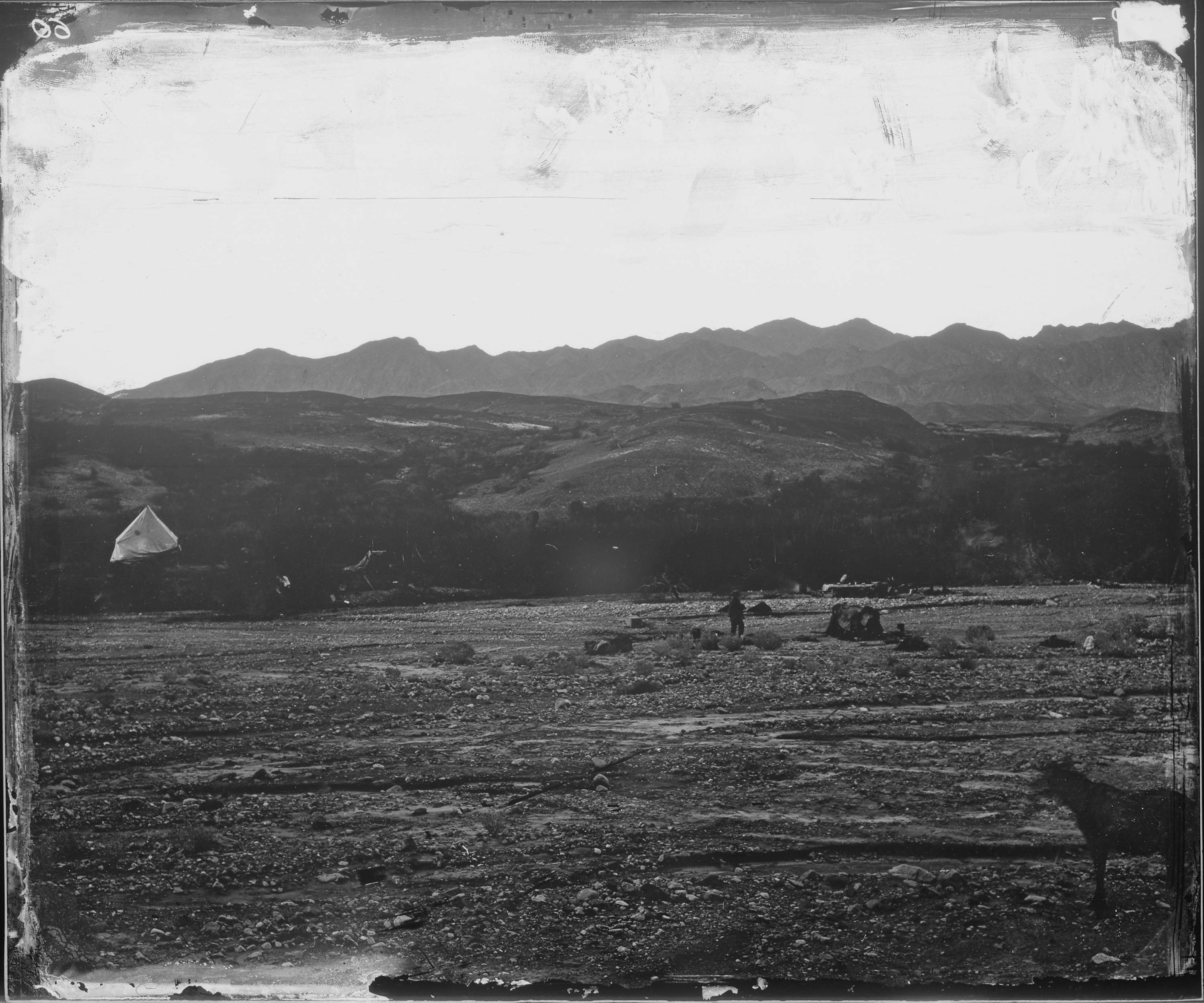
Death Valley is not merely hostile - it's spectacular. Badwater Basin's salt flats gleam white against brown mountains. Zabriskie Point's eroded mudstone creates multicolored badlands. Artists Palette shows volcanic minerals in pastel stripes. Mesquite Flat dunes shift in wind. Dante's View overlooks the entire basin from 5,000 feet above. The Joshua tree forests of the higher elevations provide surreal contrast to the bare valley floor. The landscape appears Martian - NASA has tested Mars rovers here. The beauty is harsh, inhuman, indifferent to human comfort, and therefore oddly appealing.
The Survival
People have lived in Death Valley for 10,000 years. The Timbisha Shoshone adapted to the harsh environment, moving seasonally between valley floor and surrounding mountains. White settlement came with mining - borax, gold, silver - and the tourism that followed abandoned mines. Furnace Creek has operated as a resort since 1927. Modern visitors survive through air conditioning, carried water, and common sense - the kind of common sense that doesn't always accompany tourists. The park records deaths annually: hikers who underestimate heat, drivers who run out of gas, people who think they can handle conditions their bodies cannot.
Visiting Death Valley
Death Valley National Park is located in eastern California, roughly 130 miles northwest of Las Vegas. Furnace Creek serves as the main visitor hub with lodging, dining, and park facilities. Summer visits are dangerous - travel is not recommended from June through September for inexperienced desert travelers. Spring (March-May) and fall (October-November) offer moderate temperatures. Winter can be pleasant. Bring water - at least one gallon per person per day - and never rely on a single vehicle. Cell coverage is extremely limited. The park is vast (over 3,000 square miles); allow multiple days for thorough exploration. Watch for wildlife at dawn and dusk. Never hike in midday summer heat.
From the Air
Located at 36.46°N, 116.87°W in eastern California near the Nevada border. From altitude, Death Valley appears as a long trough between mountain ranges - the valley floor brown and white (salt flats), clearly below surrounding terrain. The contrast between the valley and the mountain peaks (some over 11,000 feet) is dramatic. Badwater Basin, the lowest point in North America, is visible as white salt deposits. Las Vegas lies to the southeast. The Sierra Nevada rises to the west. The scale is apparent from altitude: the park covers over 3,000 square miles of basin and mountain terrain, one of the largest national parks in the lower 48 states.