The 49ers of Death Valley: The Shortcut That Became a Deathtrap
In December 1849, a group of Gold Rush pioneers seeking a shortcut to California's gold fields made a fateful decision. They left the established trail and headed into an unknown valley, certain it would save weeks of travel. Instead, they found themselves trapped in a hellish landscape of salt flats and mountains with no water, no game, and no obvious exit. For weeks they wandered, burning their wagons for fuel and eating their oxen for food. When survivors finally escaped, one woman reportedly looked back and said, 'Goodbye, Death Valley.' The name stuck. The valley that nearly killed them became one of the most forbidding places in North America.
The Rush
The California Gold Rush of 1849 drew hundreds of thousands west. Most took established routes - the California Trail through Nevada or the southern route through Arizona. But both were long and arduous. When rumors spread of a shorter path directly west across Utah Territory, some couldn't resist.
In October 1849, a group of about 100 wagons left the Salt Lake area heading for California. They were following a route promoted by a man named Jefferson Hunt, but when they heard of an even shorter cutoff, most of the group - over 100 families - decided to try it. Only seven families stayed with Hunt. The rest would soon regret their decision.
The Trap
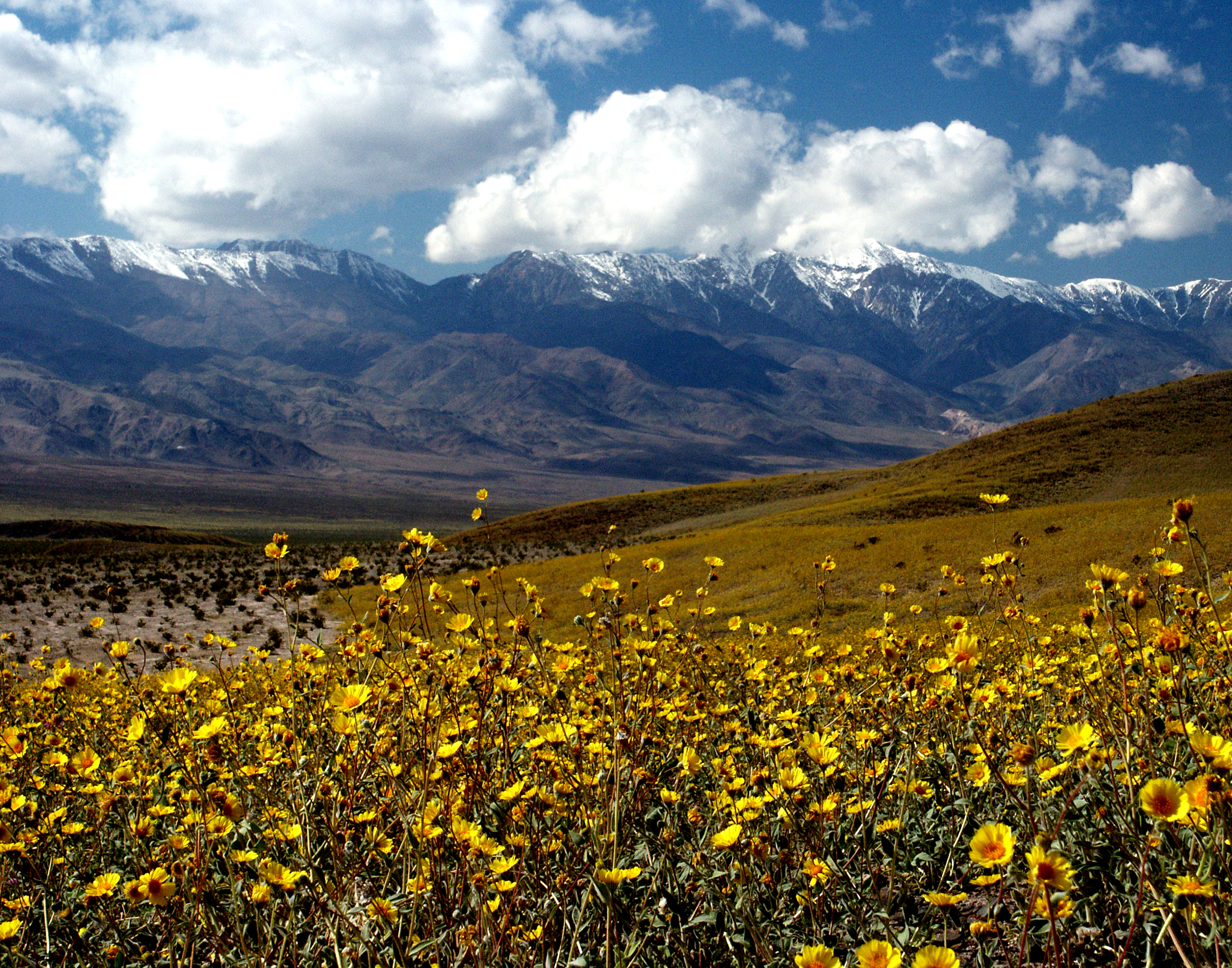
The 'shortcut' led into a maze of mountains and valleys. The wagons split into smaller groups as progress slowed. By late December, several parties found themselves in a long valley between steep mountain walls - the valley that would be called Death. They had descended nearly 300 feet below sea level without realizing it.
The valley offered no escape. Mountains blocked every direction. Water was scarce and brackish. There was no grass for the oxen. They had brought the tools of settlement into one of the harshest environments in North America. Now they were trapped.
The Ordeal
For nearly a month, the emigrants struggled to survive and find a way out. They burned their wagons for fuel to dry ox meat. They drank water from springs so alkaline it made them sick. Captain Culverwell of one party died - the death that gave the valley its name (though only one other person is confirmed to have died).
Two young men, William Manly and John Rogers, volunteered to walk out and bring back help. They crossed 250 miles of desert on foot to a California rancho, obtained supplies and horses, and walked back. They found the Bennett and Arcane families barely alive, having survived on their oxen.
The Escape
Manly and Rogers led the survivors out through a pass to the south, a journey of 200 more miles across harsh desert. Women and children walked because the horses were too weak to carry riders. They ate the horses when the horses could no longer walk. One child survived on sugar and coffee.
As they climbed out of the valley, Sarah Bennett reportedly turned back for a last look at the salt flats that had nearly killed them. 'Goodbye, Death Valley,' she said. The name, born from relief and bitterness, was recorded in Manly's memoirs and eventually became official.
The Legacy
Death Valley is now a national park, famous for being the lowest, driest, and hottest place in North America. The temperature has reached 134°F - possibly the highest ever reliably recorded on Earth. Summer visitors are warned to carry a gallon of water per person per hour.
The '49ers' wagon ruts are still visible in places, preserved by the dry climate. A monument marks where the Jayhawkers escaped over the Panamint Range. Furnace Creek, where some emigrants found water, is now a resort. The valley that was synonymous with death has become a destination - but the name remains, a permanent reminder of the pioneers who named it as they fled.
From the Air
Death Valley (36.25N, 116.83W) lies in southeastern California near the Nevada border. Las Vegas McCarran (KLAS) is 130km southeast. The valley is clearly visible from altitude - a tan basin between the Panamint and Amargosa ranges. Badwater Basin, the lowest point in North America at -282 feet, is visible as white salt flats. Summer temperatures make ground operations dangerous.