Debert Palaeo-Indian Site
Eleven thousand years ago, the glaciers had only recently retreated from central Nova Scotia, leaving behind a landscape of bare till and cold-adapted vegetation. Into that raw, post-glacial terrain came small bands of hunters, following caribou herds across ground that would not see European feet for another hundred centuries. They camped near what is now the village of Debert, in Colchester County, and they left behind stone tools that make this site the earliest evidence of human settlement in eastern North America -- and the most northeasterly Palaeo-Indian site discovered anywhere on the continent.
Buried Beneath a Parking Lot
The story of the site's discovery is as improbable as the site itself. During the Second World War, the Canadian military established a major air base and staging area at Debert, a transit point for men and convoy material being shipped from Halifax to Britain. In 1943, construction crews began expanding parking facilities and building a mortar range. The earthmoving work tore through the upper layers of the archaeological deposit, destroying much of the ancient campsite before anyone knew it was there. What survived was a fraction of the original settlement, enough to cover about seven acres of excavated ground, though test trenches later revealed that the occupation had originally spread across at least twenty acres. The accidental damage is an irreversible loss, but what remained proved extraordinary.
Hunters at the Edge of Ice
Radiocarbon dating placed the Debert occupation at 10,500 to 11,000 years ago, during the late Pleistocene, when Nova Scotia was still recovering from the weight of the Laurentide Ice Sheet. Archaeologists believe the people who camped here were nomadic big-game hunters who depended on migrating caribou herds for survival. Fish and fowl supplemented their diet, but caribou were the staple -- providing meat, hides for clothing and shelter, and bone for tools. The stone tools recovered at the site include distinctive fluted projectile points characteristic of the Palaeo-Indian tradition, linking these early Nova Scotians to a cultural complex that stretched across much of North America. To survive the freezing conditions, these settlers likely wore tailored clothing and built skin-covered tents stretched over wooden frames, portable shelters suited to a people who moved with the herds.
At the Frontier of the Known World
What makes Debert exceptional among Palaeo-Indian sites is its location. Most early sites cluster farther south and west, in regions that were ice-free for longer. Debert sits in territory that was recently glaciated, meaning the people who camped here were among the first humans to push into the newly exposed landscapes of northeastern North America. The site provides critical evidence for understanding how and when humans colonized the eastern margins of the continent after the ice withdrew. It remains one of only a handful of Palaeo-Indian settlements identified within formerly glaciated regions, a distinction that gives it outsized importance in the archaeology of early human migration.
Protected Memory
The Nova Scotia Museum has listed the Debert site as a Special Place under the province's Special Places Protection Act, recognizing it as the oldest archaeological site in Nova Scotia. The designation protects the remaining deposit from further disturbance, though much of the original campsite was lost to the wartime construction that accidentally revealed it. Today, the landscape around Debert shows little trace of either the ancient hunters or the military base -- both have been absorbed by farms, forest, and the quiet routines of a rural Nova Scotia community. But beneath the surface, the remnants of those earliest campfires persist, evidence that 11,000 years ago, on ground freshly released from ice, people made their home at the edge of the habitable world.
From the Air
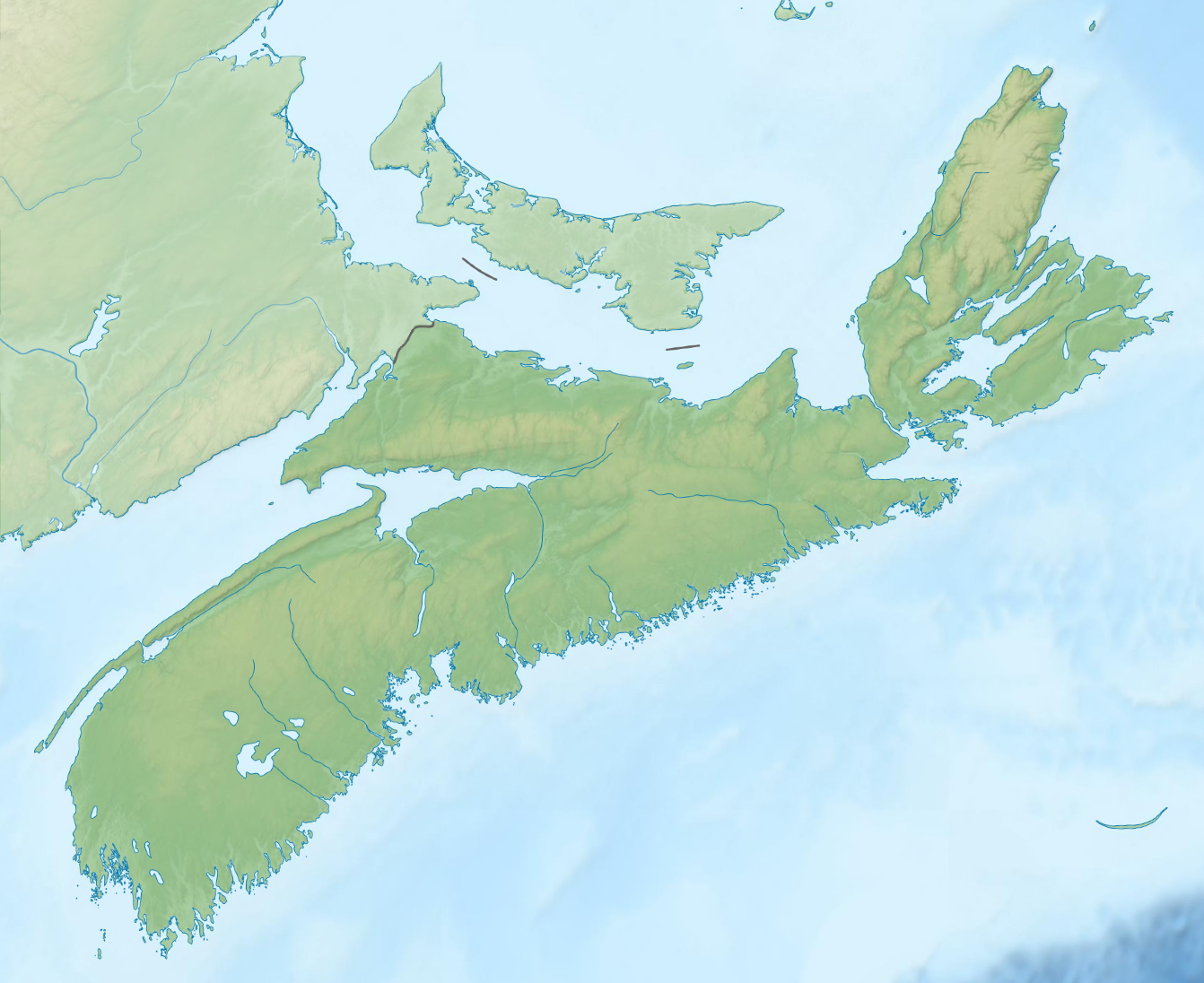
Located at 45.42°N, 63.42°W near Debert, Colchester County, Nova Scotia. The site is on flat terrain southeast of the village, with few visible surface features marking the archaeological deposit. Nearest airport: Debert (CYDB), which occupies part of the former WWII air base, is immediately adjacent. Halifax Stanfield International (CYHZ) is approximately 45 nm south-southwest. The Cobequid Mountains to the north and the Shubenacadie River valley to the south provide visual orientation.