The Dempster Highway: Canada's Road to the Arctic Ocean
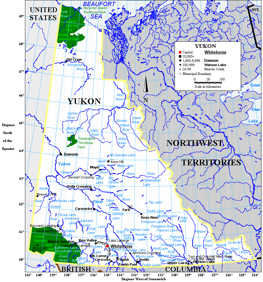
The Dempster Highway goes where roads shouldn't go. From Dawson City, Yukon, it climbs into the Ogilvie Mountains, crosses the Arctic Circle at a lonely interpretive sign, traverses the Peel River by ferry, and ends at Inuvik in the Northwest Territories. Since 2017, the route continues to Tuktoyaktuk on the Arctic Ocean - the only public highway in Canada that reaches the polar sea. The road is 900 kilometers of gravel, mud, and commitment. There's no gas for 369 kilometers between Eagle Plains and Inuvik. There's no help if you break down. There's no scenery quite like it on any other road on Earth.
The Road
Construction of the Dempster Highway began in 1959 and wasn't completed until 1979 - twenty years to build 670 kilometers of road through terrain that actively resists human construction. The road sits on gravel fill over permafrost; if the permafrost melts, the road sinks. Maintenance is constant. The surface varies from decent gravel to mud pits to frost heaves that can wreck suspensions. Two tires are recommended spares. The drive from Dawson to Inuvik takes two days if nothing goes wrong; three or more if something does.
The Landscape
The Dempster crosses some of the wildest landscape in North America. The Ogilvie Mountains near the start are rugged and relatively accessible; the Richardson Mountains farther north are higher and more remote. Between them spreads the Arctic tundra - endless, treeless, and home to the Porcupine caribou herd, whose migration route crosses the highway. In fall, thousands of caribou stream across the road; drivers stop and wait, sometimes for hours. The landscape changes with latitude: boreal forest gives way to dwarf shrubs, then to tundra, then to the polar coast.
The Crossings
Two rivers cross the Dempster: the Peel and the Mackenzie. No bridges span them - in summer, ferries carry vehicles across; in winter, ice bridges form. During freeze-up (late October) and break-up (May), neither works, and the highway is impassable. The ferry schedules are approximate; wait times can be hours. The ice bridges are tested daily for load capacity; if temperatures warm, restrictions apply. Planning a Dempster trip means checking conditions, ferry schedules, and weather forecasts with obsessive attention.
The Extension
The Inuvik-Tuktoyaktuk Highway opened in 2017, extending the road 140 kilometers to the Arctic Ocean. Tuktoyaktuk (population 900) became the first Arctic community in Canada accessible by year-round road. The road required innovative engineering: gravel quarried from nearby deposits, bridges over permafrost-sensitive creek valleys, a route designed to minimize damage to the fragile tundra. At road's end, visitors can dip their toes in the Beaufort Sea, completing a journey from the temperate rainforests of the Pacific coast to the polar ocean.
Visiting the Dempster Highway
The Dempster Highway starts 40 kilometers south of Dawson City, Yukon. The drive to Inuvik takes two days minimum; to Tuktoyaktuk, three. Essential preparations include: two spare tires, full fuel containers, emergency supplies, and satellite communication devices. Gas is available only at Eagle Plains (km 369), Fort McPherson, and Inuvik. The road is open year-round but ice bridges operate only in winter; ferries only in summer; spring and fall may see closures. Dawson City and Inuvik have full services including hotels and fuel. The Tombstone Territorial Park campground at km 72 is a common first stop. The Arctic Circle crossing at km 403 has a territorial park with camping.
From the Air
Located at 65.66°N, 136.34°W, the midpoint near Eagle Plains in the Yukon. From altitude, the Dempster Highway is visible as a thin line crossing an immense landscape of mountains and tundra - one of the few human features visible in this territory. The Ogilvie Mountains rise to the south; the Richardson Mountains to the north. The road corridor is the only development visible for hundreds of kilometers. Eagle Plains appears as a tiny cluster of buildings at the highway's midpoint. The Arctic Circle lies north of here; the tundra beyond is trackless except for caribou trails. This is one of the most remote roads in North America, visible from altitude as the anomaly it is.