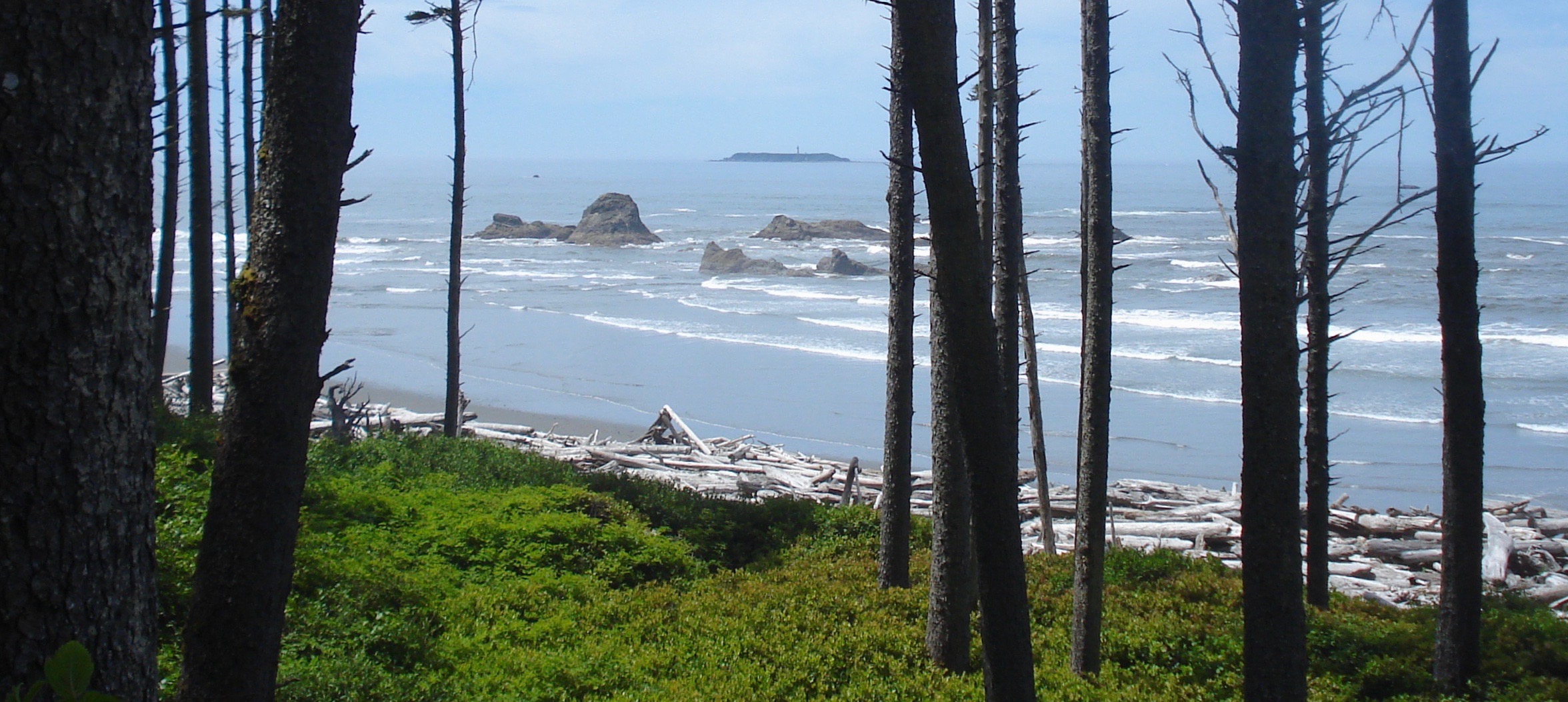
Destruction Island
The Spanish called it Isla de Dolores -- Island of Sorrows. The English renamed it Destruction. Neither name was metaphorical. This 30-acre slab of rock and grass, sitting three miles off Washington's Olympic coast in Jefferson County, earned both names through bloodshed, and it has been accumulating stories ever since -- shipwrecks, lighthouse keepers marooned by winter storms, seabird colonies quietly collapsing under pressure from invasive rabbits. From Ruby Beach, four miles to the northeast, you can see the island and the white tower of its lighthouse on a clear day. What you cannot see is everything the island has absorbed.
Two Massacres and a Name
In 1775, Spanish Navy lieutenant Juan Francisco de la Bodega y Quadra anchored near this stretch of coast during an exploratory voyage north from San Blas, Mexico. He sent seven men ashore near Point Grenville to gather wood and fresh water. An estimated three hundred local Native Americans attacked and killed all seven. Bodega y Quadra named the island visible offshore Isla de Dolores. Twelve years later, in 1787, Captain Charles William Barkley -- an independent English fur trader sailing the Imperial Eagle -- arrived at the same waters and sent his own party ashore from the island. They met the same fate. Barkley named the river where his men died the Destruction River. When Captain George Vancouver later charted the coast, he transferred Barkley's name to the island itself, and the river was renamed for the Hoh people who lived along its banks. The original grief embedded in Bodega y Quadra's name was overwritten, but not erased.
A Light Against the Dark
The United States Lighthouse Board reserved the island for lighthouse purposes in 1866, recognizing what every mariner already knew: the rocks and ledges extending a mile offshore to the south were a graveyard waiting to happen. It took decades of bureaucratic maneuvering before Congress appropriated $85,000 for construction, which began in 1890. On January 1, 1892, keeper Christian Zauner lit the five wicks of the first-order Fresnel lens for the first time, sending a beam across waters that had already swallowed ships and men for over a century. The lighthouse served as both a landfall light for transoceanic vessels seeking the Strait of Juan de Fuca and a coastal warning for ships hugging the shoreline. In 1888, four years before the light was even operational, the island's reputation proved justified when the bark Cassandra Adams struck a reef in dense fog on August 10, 1888 -- the same year the Lighthouse Board received its $85,000 construction appropriation. The Port Gordon and the Wide West also wrecked near the island in the years before the light was operational.
Keepers and Isolation
Accessible only by boat, Destruction Island demanded a particular kind of endurance from its keepers. Winter storms could cut the island off from the mainland for weeks. Supplies arrived by tender when seas permitted, and families lived in the keeper's quarters beside the tower, raising children in a world bounded by surf and fog. One photograph from 1940, taken by National Park Service photographer George A. Grant, shows lighthouse keeper Albert Beyer, his daughter, and Coast Guard skipper Elmer Winbeck posing with a young fawn brought over from the Elwha River -- a small gesture of warmth on an island whose name promised none. The Coast Guard assumed responsibility in 1939, and in November 1968 the light was automated, ending the era of human habitation. The original Fresnel lens was removed in 1995 and now sits in the Westport Maritime Museum, far from the salt air it was built to pierce.
The Quiet Collapse
The Hoh people once frequented the island to harvest rhinoceros auklets, the stocky seabirds that nest in burrows dug into the island's grassy slopes. For generations, the auklet colony thrived in isolation. Then European rabbits arrived -- likely released or escaped from the lighthouse station -- and began competing for burrow space and destabilizing the soil with their own digging. Bald eagles, drawn by the easy prey the rabbits represented, discovered the auklet colony as well. The combination of habitat loss and eagle predation has driven the rhinoceros auklet population into decline, a slow-motion ecological unraveling playing out on an island most people will never visit. It is a peculiarly modern form of destruction on an island that has known so many older kinds.
From the Air
Destruction Island sits at 47.675N, 124.484W, approximately three miles offshore from Washington's Olympic coast in Jefferson County. The island is clearly visible as a distinct low landmass with a white lighthouse tower. Ruby Beach, a popular Olympic National Park destination, lies about 4 miles to the northeast on the mainland. The coastline here is rugged, with sea stacks and rocky outcroppings. Nearest airports: Quillayute Airport (KUIL) approximately 25nm north, Bowerman Airport (KHQM) in Hoquiam approximately 45nm south. Best viewed at 1,500-3,000 feet for a clear perspective on the island's isolation and the surrounding rocky coastline. Watch for fog and low clouds common along this stretch of coast.