Dibba
One town, three governments, and a cemetery that may hold ten thousand dead. Dibba sits at the northern tip of the eastern Arabian Peninsula, where the Gulf of Oman meets the Musandam coast, and it is split between three separate jurisdictions: Dibba Al-Fujairah belongs to the Emirate of Fujairah, Dibba Al-Hisn to the Emirate of Sharjah, and Dibba Al-Baya to the Governorate of Musandam in Oman. The borders are recent. The history is ancient. Merchants from Sindh, India, and China traded here during the Iron Age, and the largest battle of early Islam's civil wars was fought on the plain behind the town.
A Market at the Edge of the World
Dibba's natural harbor has attracted settlement for millennia. Recent excavations, triggered by the accidental discovery of a collective tomb in 2004, have revealed layers of occupation stretching from the Iron Age through the late pre-Islamic era. The finds read like an inventory of Indian Ocean trade: copper alloy tetradrachms linking the site to the Hellenistic cities of Mleiha and Ed-Dur, Roman amphorae, ceramics, glass, bitumen, and coins. The medieval historian Ibn Habib recorded that 'merchants from Sindh, India, China, people of the East and West came to it.' Dibba was not a peripheral settlement. It was a node in a network that connected the Mediterranean world to the South China Sea.
The Battle That Defined Islam's Borders
Shortly after the death of the Prophet Muhammad in 632 CE, a faction of the Azd tribe at Dibba, led by Laqit bin Malik -- known as Dhu at-Taj, 'the Crowned One' -- rejected Islam and launched a rebellion. The caliph Abu Bakr dispatched an army. What followed was one of the largest battles of the Ridda wars, the series of conflicts that determined whether the new religion would survive its founder's death. According to the historian al-Tabari, at least 10,000 rebels were killed. The plain behind modern Dibba still contains a large cemetery that local tradition attributes to the fallen. After Dibba, southeastern Arabia became nearly entirely Muslim. The battle's scale and its consequences make it one of the pivotal military engagements of the seventh century.
The Fault Beneath
Dibba sits directly on the Dibba Fault, one of only two active faults running through the UAE. The fault crosses from Oman in the north and extends southward toward the center of the Arabian Peninsula, separating the ophiolites of the Oman Mountains from the Mesozoic carbonates of the Musandam Peninsula. Residents felt at least 150 tremors during 2003 and 2004. The 2005 Qeshm earthquake registered here. In March 2009, tremors measuring 2.9 and 3.5 on the Richter scale shook the area. The geological instability is a reminder that the Arabian Peninsula is not the stable platform it appears to be. The same tectonic forces that pushed the Hajar Mountains above sea level continue to shift the ground beneath Dibba's foundations.
Three Towns in One
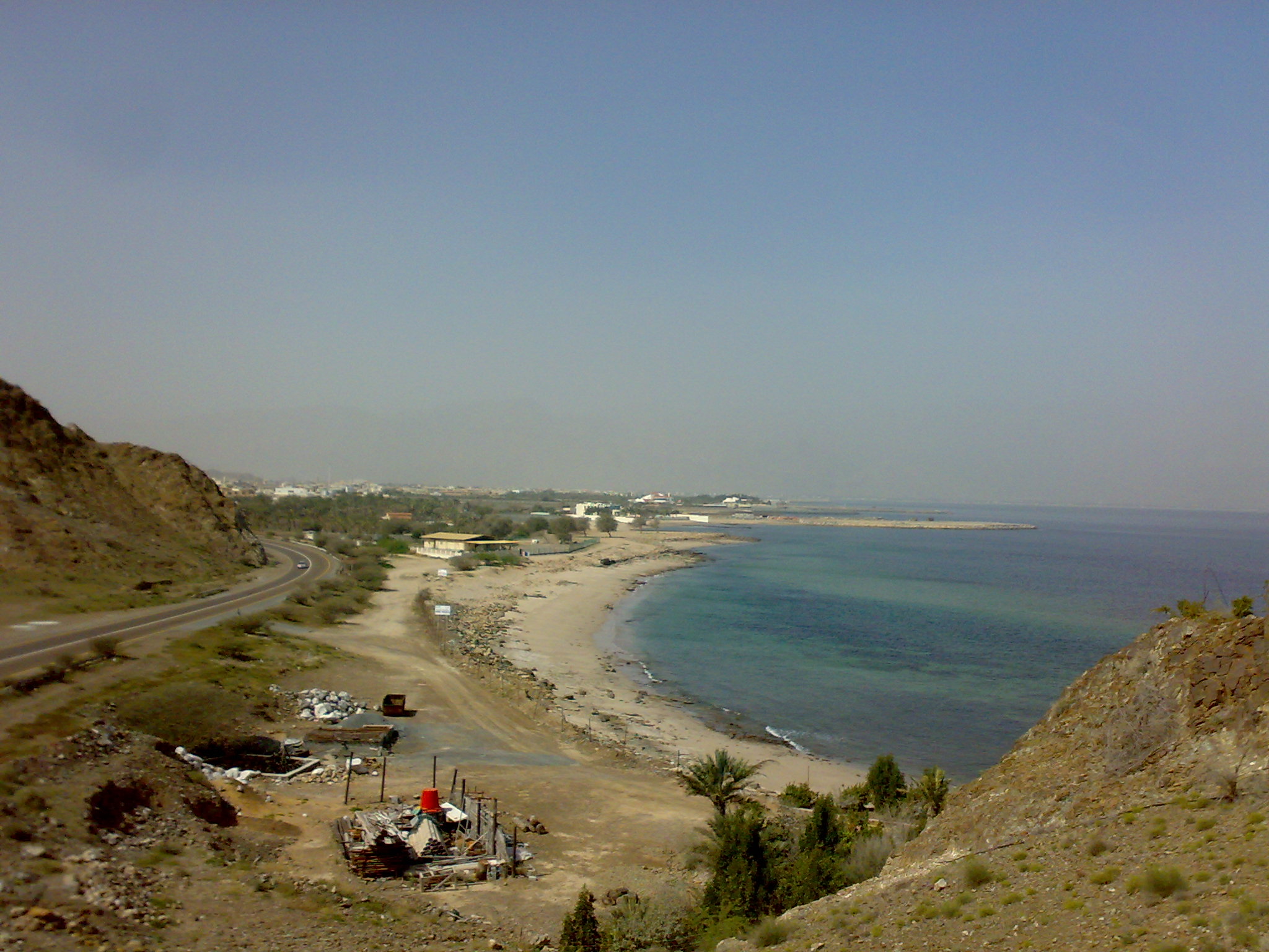
The modern division of Dibba reflects colonial-era boundary negotiations more than any natural logic. Dibba Al-Fujairah, the largest segment, spreads between mountains and coastline with some of the UAE's best beaches. Dibba Al-Hisn, the smallest and most densely populated, is notable for its fish market and the fortress from which it takes its name. Dibba Al-Baya, the most northerly, serves as the gateway to the Musandam Peninsula. Land disputes between the segments persisted well into the 1990s. In 2007, Cyclone Gonu struck all three, damaging buildings and homes without regard for political boundaries.
Coral Death and Renewal
In 2008, an algal bloom devastated the waters around Dibba, reaching the tourist areas of Aqqah and Al-Faqeet. Marine biologist Rita Bento, working with the Emirates Diving Association, reported seeing only three fish during an hour-long dive in areas that previously supported hundreds. Ninety-five percent of corals in the Dibba Marine Protected Zone were destroyed. The event underscored the fragility of the marine ecosystem that underpins Dibba's tourism economy. Recovery has been slow. The coral reefs that attract divers and snorkelers from across the Emirates are rebuilding, but the algal bloom demonstrated that centuries of natural resilience can be undone in a single season.
From the Air
Coordinates: 25.62N, 56.27E, at the northern tip of the UAE's east coast on the Gulf of Oman. The three-part town layout is visible from 5,000-10,000 ft with the Musandam mountains rising dramatically behind. Fujairah International Airport (OMFJ) is approximately 50 km south. The Dibba Fault runs through the area. Clear conditions typical; Cyclone season can bring disruption May-November.