District Six Museum
Walk into the District Six Museum and look down. The floor is covered with a large map of the neighborhood, and scattered across it in handwriting that ranges from careful to shaky are notes left by former residents. "My house was here." "We lived on this corner." "This is where I grew up." Each annotation marks the spot where someone's life was uprooted by the apartheid government's Group Areas Act, which declared this vibrant, multiracial community a whites-only zone and bulldozed it into rubble. The museum occupies a former Methodist church on Buitenkant Street, a building that survived the demolitions only because it was a place of worship. Since 1994, it has served as the neighborhood's memory - a place where the community that was scattered to the Cape Flats can come back, point to a spot on the floor, and say: I was here.
A Foundation Built on Loss
The District Six Foundation was established in 1989, five years before the end of apartheid, by former residents who refused to let the demolitions be the final word. The museum itself opened in 1994, the year South Africa held its first democratic elections. Its founding was an act of defiance: the apartheid government had spent two decades trying to erase District Six from the map, renaming it Zonnebloem, clearing the land, selling parcels to white buyers. The museum declared that a community is more than its buildings, that identity survives displacement, and that memory is a form of resistance. In 2003, the Netherlands honored the museum with a Prince Claus Award, recognizing its role in preserving cultural heritage against deliberate destruction.
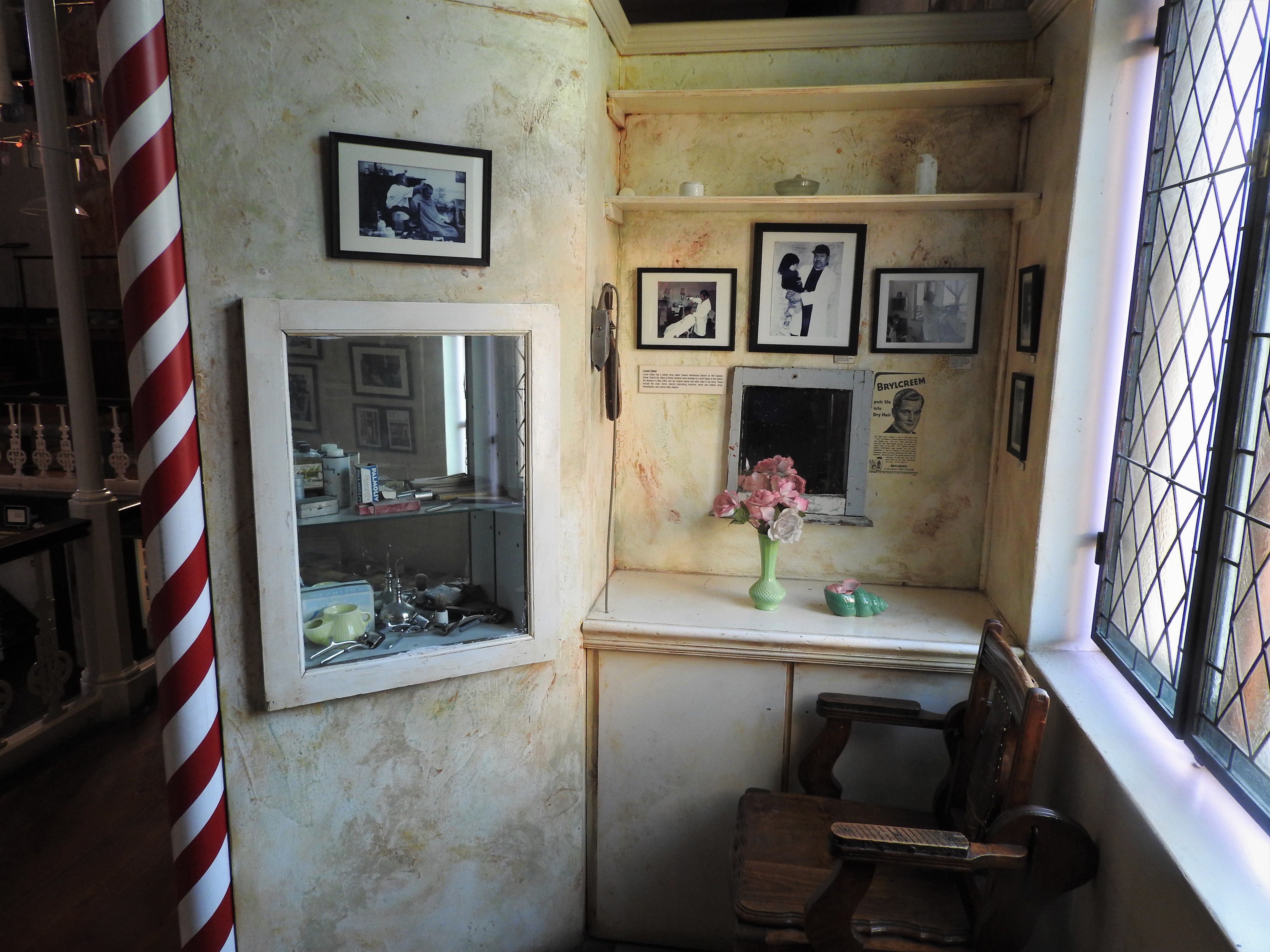
What the Walls Hold
Old street signs salvaged from the demolitions hang on the walls. Photographs show the neighborhood as it was: crowded, colorful, alive with the energy of a community where people of every background lived side by side. Among the most famous former residents was Abdullah Ibrahim, the jazz pianist known internationally as Dollar Brand, whose music carries the rhythms and melodies of the Cape Malay, African, and European cultures that mixed in District Six. The museum displays historical declarations, family photographs, exhibits about the lives of displaced families, and documentation of the demolition itself. It does not soften the story. Visitors see the bureaucratic machinery of forced removal - the notices, the orders, the legal language that turned homes into rubble.
More Than a Museum
The District Six Museum is not a place that locks history behind glass. It runs programs for current residents of the area, working on housing construction, environmental planning, and community arts projects in music, literature, and visual art. Its stated goal is to join people into a community built on respect for dignity, identity, and the coexistence of different races - the very values that apartheid sought to destroy. Former residents return to lead tours, telling visitors stories that no exhibit panel can capture: the smell of a neighbor's cooking, the sound of music drifting from a window, the particular quality of light on a Saturday afternoon in a neighborhood that no longer exists except in the minds of those who lived there.
The Map That Remembers
The floor map remains the museum's most powerful exhibit. It works because it is participatory - former residents are invited to mark where they lived, to write their names and memories directly onto the map. Over the years, the annotations have accumulated into a dense palimpsest of individual grief and collective identity. No two notes are alike. Some are simple addresses. Others are longer, describing a tree, a shop, a view from a window. Together they form a portrait of a community that the apartheid state tried to delete from existence but that persists in handwriting on a museum floor, stubbornly legible, impossible to bulldoze.
From the Air
The District Six Museum (33.928S, 18.424E) is located on Buitenkant Street in central Cape Town, in a former Methodist church. It sits at the western edge of the District Six area, close to the Cape Town CBD. The largely vacant land of the former District Six neighborhood is visible from altitude as an unusually empty zone between the city center and the lower slopes of Devil's Peak. Cape Town International (FACT/CPT) is approximately 17km to the east. Table Mountain (1,085m) dominates the skyline to the southwest.