Djurdjura National Park
The Kabyle people call it Jjerjer -- "great cold" -- or, from the older compound form Jer n Jer, "the mountain of the mountains." The Romans, who could never quite subdue the Kabyle tribes living in its folds, called it Mons Ferratus, the Iron Mountain, a name that referenced both the region's soil and the stubbornness of its inhabitants. Today the Djurdjura Range carries both legacies in its national park: a landscape of fractured tectonics, deep gorges, and limestone grottoes that harbors one of North Africa's most important populations of the endangered Barbary macaque.
Shattered Geology
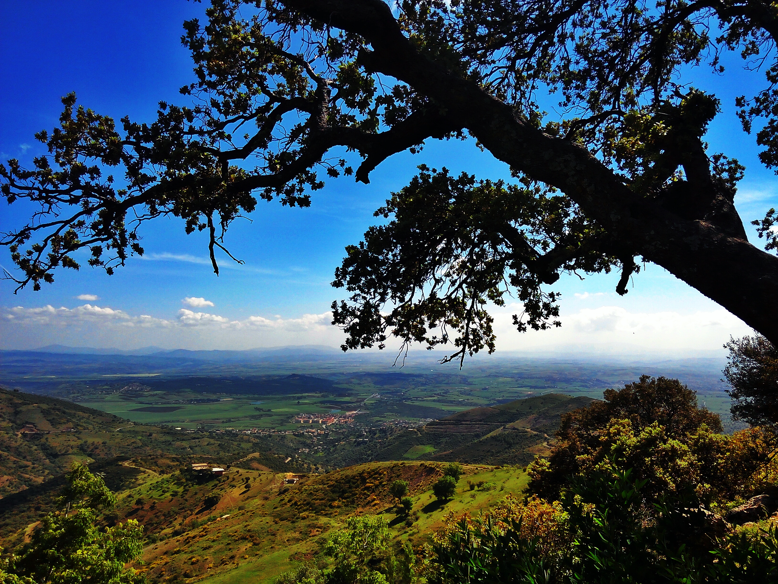
The Djurdjura is part of the Tell Atlas, the mountain chain that runs along Algeria's Mediterranean coast, but it stands out for the violence of its geology. The range displays what scientists describe as very broken tectonics -- a landscape where the rock has been crumpled, faulted, and fractured by the ongoing collision between the African and European plates. The result is a terrain of extreme contrasts: sheer gorges cut through limestone, grottoes open into darkness beneath forested ridgelines, and peaks rise abruptly from the surrounding hills. This geological chaos creates an extraordinary diversity of microclimates and habitats, packed into a relatively small area between the cities of Tizi Ouzou to the north and Bouira to the south.
Children of the Djurdjura
The mountain's relationship with its human inhabitants runs deep. The name Djurdjura applies not just to the range but to the villages scattered across it. In Kabyle, Mmis n'Djerdjer means "children of the Djurdjura" -- a term for the mountain people who have lived here since before written records began. There is also a Kabyle female musical group named Djurdjura, carrying the mountain's identity into a different kind of cultural landscape. The Kabyle resistance to Roman annexation gave Mons Ferratus its name, and that tradition of independence persisted through successive occupations: Arab, Ottoman, French. The mountains provided both the physical terrain and the cultural identity for resistance.
The Last Macaques
Among the forests, gorges, and caves of the park lives a population of Barbary macaques, the only primate besides humans native to Africa north of the Sahara. In prehistoric times, the species ranged across much of North Africa and even into parts of southern Europe. Today its distribution has contracted drastically, and Djurdjura is one of the remaining strongholds. The macaques depend on the park's varied forest cover -- cedar, oak, and pine -- for food and shelter. Their survival here is tied to the park's ecological integrity, making the national park designation, established in 1983, more than a bureaucratic classification. It is a line drawn around one of the last places where this ancient primate can sustain a viable population.
Into the Iron Mountain
Djurdjura National Park sits in the heart of Kabylie, one of the most culturally distinct regions of Algeria. The Kabyle language, Berber traditions, and mountain identity of the area give the park a human context that most protected areas lack. Hiking into the Djurdjura is not just an encounter with geology and wildlife -- it is an entry into a landscape that has been continuously inhabited, contested, and named for millennia. The grottoes hold traces of prehistoric occupation. The gorges channel rivers that Kabyle villages have used for irrigation since before anyone kept records. The forests shelter animals that once roamed a continent. Even the name contains a lesson: Jer n Jer. The mountain of the mountains. Its people have always known what they had.
From the Air
Located at 36.47N, 4.13E in the Djurdjura Range of the Tell Atlas, within the Kabylie region of northern Algeria. The shattered ridgeline and deep gorges are visible from altitude, with peaks reaching above 2,000 meters. Best viewed at 5,000-8,000 feet AGL. Nearest airports: DAAE (Bejaia - Soummam Airport) approximately 60 km east; DAAV (Tizi Ouzou) approximately 30 km north. The range runs east-west and is a prominent feature between the cities of Tizi Ouzou and Bouira.