Dongping Lake
What remains of the legendary Eight Hundred Li Liangshan Marsh, the vast wetland that sheltered the 108 outlaw heroes of Water Margin, is a lake 148 square kilometers in size and averaging just 1.59 meters deep. Dongping Lake, in western Shandong Province south of the Yellow River, is all that survived centuries of silt, flood, and land reclamation. It is Shandong's second-largest freshwater lake, but it is a remnant, the last echo of a marshland that once dominated the landscape of central North China and gave rise to one of the greatest novels in Chinese literature.
From Marsh to Literature
The marshes around Mount Liang were once the largest wetland in North China, a labyrinth of open water, reed beds, and mud flats where government authority barely reached. During the Song dynasty, bandits and outlaws made these marshes their territory, some becoming folk heroes who preyed on corrupt officials and wealthy merchants while sparing the poor. Their stories became the raw material for Water Margin, one of the Four Great Classical Novels of Chinese literature, in which the marshes are imagined as an impregnable fortress surrounded by water so vast that imperial armies could not reach it. The historical marshes began to shrink in 1289 when the Yellow River changed course, and by the Ming dynasty, five smaller wetlands were all that remained. Dongping Lake is the last of these.
A Shallow Basin Between Two Rivers
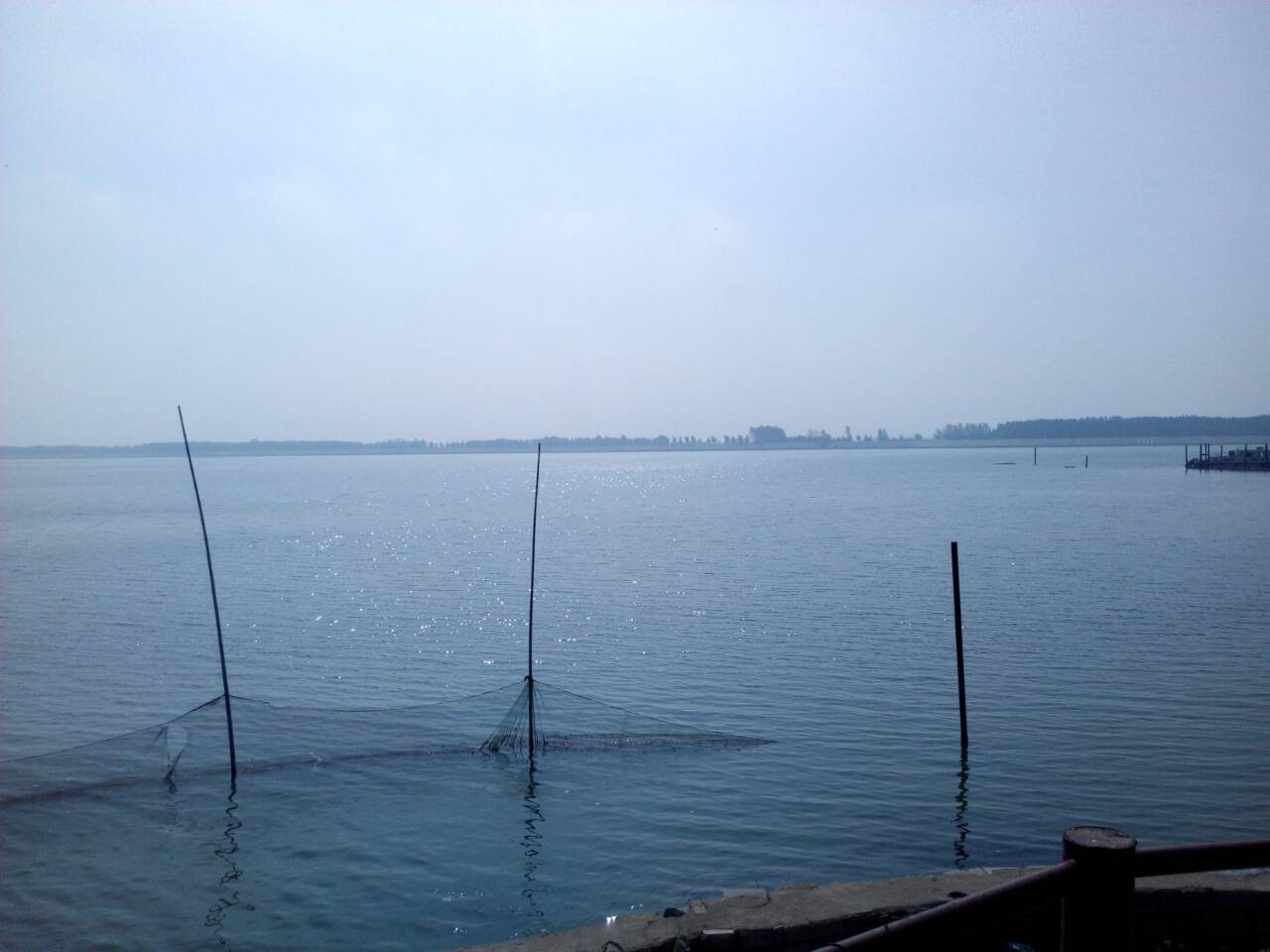
Situated in Dongping County, the lake lies south of the lower reaches of the Yellow River in flat terrain that carries the geological memory of centuries of flooding. With a water storage capacity of approximately 235 million cubic meters and an average depth barely exceeding one and a half meters, Dongping Lake is extraordinarily shallow. This shallowness makes it ecologically productive, supporting significant aquaculture and freshwater fisheries, but it also makes it vulnerable. A lake this thin can be dramatically affected by drought, pollution, or the diversion of upstream water. Its relationship with the Yellow River, the same force that created and then destroyed the greater marshlands, continues to define it.
Water Moving North
Dongping Lake has been designated as a key reservoir on the eastern route of China's South-North Water Transfer Project, the massive infrastructure system that moves water from the Yangtze River basin to the water-scarce north, largely following the ancient Grand Canal corridor. The project represents the latest chapter in a millennia-long Chinese effort to manage and redirect water across vast distances. For Dongping Lake, this means a new identity: no longer just a remnant of ancient marshes or a productive fishery, but a critical node in a continental-scale water distribution system. When the water transfer system entered its testing stage in the summer of 2013, local fish farmers began reporting that polluted Yangtze River water was killing their fish, a reminder that engineering water across a continent creates conflicts as well as solutions.
The Outlaws' Last Water
There is something poignant about Dongping Lake's dual identity. To readers of Water Margin, it is the surviving fragment of a landscape that once represented freedom from authority, the water that protected the rebels from the emperor's reach. To engineers of the South-North Water Transfer Project, it is a holding tank in a system designed to extend central authority over nature itself. The outlaws of Mount Liang would have appreciated the irony. Their marsh, which sheltered those who resisted imperial power, now serves the largest water redistribution project any government has ever attempted. The lake is shallow, quiet, and productive, surrounded by flat agricultural land where the great marshes once spread. Its literary fame ensures that visitors come looking for echoes of the 108 heroes, while its engineering role ensures that the water flowing through it connects the Yangtze to the Yellow River, south to north, as Chinese engineers have been trying to do for two thousand years.
From the Air
Located at 35.965N, 116.196E in Dongping County, western Shandong Province. The lake is clearly visible from altitude as a body of water south of the Yellow River in flat terrain. Mount Liang lies to the southwest. Nearest airports include Jining Da'an Airport (ZSJG) approximately 50 km to the southeast and Tai'an area airports to the east. The Yellow River is visible as a major waterway to the north.