Door Peninsula
The French translated the name faithfully: Porte des Morts, Death's Door. The strait between the peninsula's northern tip and Washington Island has swallowed ships for centuries, its currents colliding where Green Bay meets Lake Michigan in a confusion of crosscurrents and shoals. The Menominee called the peninsula itself Kenatao -- simply "cape" -- as if a place this dangerous needed no embellishment. The earliest written reference dates to 1728, when a French cartographer labeled it Cap a la Mort, Cape of Death. The name stuck, eventually lending itself to the county, the peninsula, and a tourism brand that cheerfully markets what was once a mariner's nightmare. Door Peninsula juts northeast from Wisconsin's mainland for some seventy miles, a narrow ridge of Silurian dolomite that is, geologically speaking, a continuation of Niagara Falls. The same Niagara Escarpment that sends the falls crashing over its ledge resurfaces here as limestone bluffs, cave-riddled cliffs, and sinkholes that pock the farmland between cherry orchards.
Stone Tools Older Than the Pyramids
People have been here far longer than the shipwrecks suggest. Paleo-Indian artifacts found at four sites near Sturgeon Bay -- the Cardy and Salisbury Steak sites on the city's south side, the Heyrman I and Boss Tavern sites along Highway 57 -- predate the Egyptian pyramids. The Boss Tavern site served as a base camp, while Heyrman I functioned as a stone-tool workshop. A layer of sand at Boss Tavern reveals that this ground was once a beach, when glacial meltwater raised lake levels far above where they stand today. Stone tools crafted from Door Peninsula rock have turned up as far west as Trempealeau and La Crosse counties, carried clear across Wisconsin by people following trade routes that no written record preserves. In 1634, Jean Nicolet became the first European to set foot in what is now Wisconsin, landing at Red Banks on Green Bay near the base of the peninsula. He arrived dressed in a Chinese ceremonial robe, convinced the Ho-Chunk people he encountered were Asians and that he had reached the Far East.
The Riddled Escarpment
Beneath the peninsula's pastoral surface, the dolomite is dissolving. Hundreds of sinkholes have been mapped in Door County, most formed by the slow subsidence of material into cavities rather than dramatic collapse. Farmers fill them by tilling; spring meltwater opens them again. The Niagara Escarpment harbors caves throughout its length, but Horseshoe Bay Cave stands apart as Wisconsin's second-longest, its passages concealing a 45-foot underground waterfall and populations of rare invertebrates found nowhere else. Eagle Cave opens midway up a scarp face, while smaller caves at Peninsula State Park are accessible to anyone willing to duck. The strangest cave in the county was discovered not in the escarpment but in the basement of a nursing home in Sturgeon Bay -- the only known cave in Door County formed by neither karst nor lakeshore erosion. At the southern base of Brussels Hill, a pit cave holds skeletal remains of both modern and pre-Columbian animals, a natural trap that has been collecting bones for millennia.
Waters of Collision
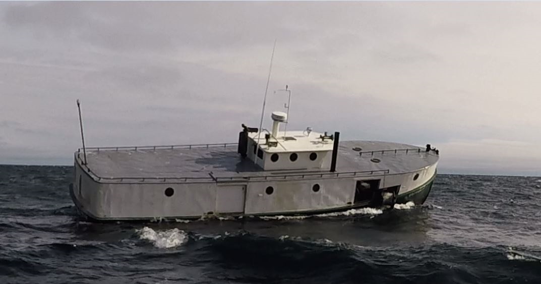
The peninsula splits two bodies of water that behave differently. North of the tip, warm surface water from Green Bay flows eastward into Lake Michigan while cold lake water creeps into the bay along the bottom, a layered exchange that starves the bay of oxygen. A counterclockwise surface current carries nutrient-rich Fox River water north along the peninsula's western shore, concentrating pollutants from the Fox River Valley. Walleye caught near Sturgeon Bay carry 87 percent more PCBs than those from the bay's western shore. But the waters remain productive: Sturgeon Bay and Little Sturgeon are classified as biodiversity hotspots for their diversity of fish species. Chinook salmon stocked since the 1960s draw charter boats each season; the Wisconsin state record Chinook -- 44 pounds, 15 ounces -- came from Door County waters in 1994. Brown trout first planted in 1966 now spawn along rocky lakeshores when autumn stream flows run too low for upstream runs. Lake surfers ride swells off Cave Point County Park, rated the best freshwater surfing spot in the region.
Cherry Orchards and the North-South Divide
Door Peninsula's identity splits roughly at the Sturgeon Bay Ship Canal, completed in 1881, which technically made the northern half an island. North of the canal, tourism dominates: the cherry and apple orchards that made the peninsula famous, the art galleries of Fish Creek and Ephraim, the lighthouses that dot bluffs and headlands. Eagle Bluff Lighthouse, built in 1868 on orders from President Andrew Johnson for twelve thousand dollars, stands restored in Peninsula State Park. South of the canal, the landscape remains more agricultural, more rural, and culturally distinct enough that arguments occasionally flare about where the Door-Kewaunee county line truly belongs. The Rosiere Wind Farm, completed on the escarpment in 1999, was at the time the largest wind energy installation in the eastern United States. The peninsula hosts 69 documented species of snails -- more than any other county in a 22-county study -- including populations of Vertigo hubrichti and Vertigo morsei, two species endemic to the upper Midwest that thrive along the cool, algific slopes of the escarpment.
From the Air
Located at 45.42N, 86.94W, the Door Peninsula extends roughly 70 miles northeast from Wisconsin's mainland, clearly visible as a narrow land bridge separating Green Bay (west) from Lake Michigan (east). Door County Cherryland Airport (KSUE) at Sturgeon Bay is the primary local field. Washington Island Airport (2P2) with two grass runways sits at the peninsula's northern end. Austin Straubel International Airport (KGRB) in Green Bay is the nearest commercial field, 53 miles southwest. From altitude, look for the distinctive narrow shape splitting the two water bodies, the limestone bluffs along the western shore, and the chain of islands extending north from the tip toward Michigan's Garden Peninsula. The Sturgeon Bay Ship Canal is visible as a straight water cut across the peninsula's midsection.