Dorob National Park
When Namibia gazetted Dorob National Park on 1 December 2010, it completed something no other country in Africa had attempted: an almost unbroken wall of protected land running the entire length of its coastline, from the Kunene River on the Angolan border to the Orange River on the South African frontier. National Geographic noted the achievement the following June, describing the pieces now in place for what may eventually become the Namib-Skeleton Coast National Park -- a single coastal megapark. Dorob itself, whose name means "dry land," fills the gap along the central Namibian coast. Combined with the Namib-Naukluft Park to its south, it protects 107,540 square kilometers of hyper-arid desert, gravel plains, ephemeral river systems, and one of the richest stretches of coastline for birdlife anywhere in the world.
1.6 Million Wings
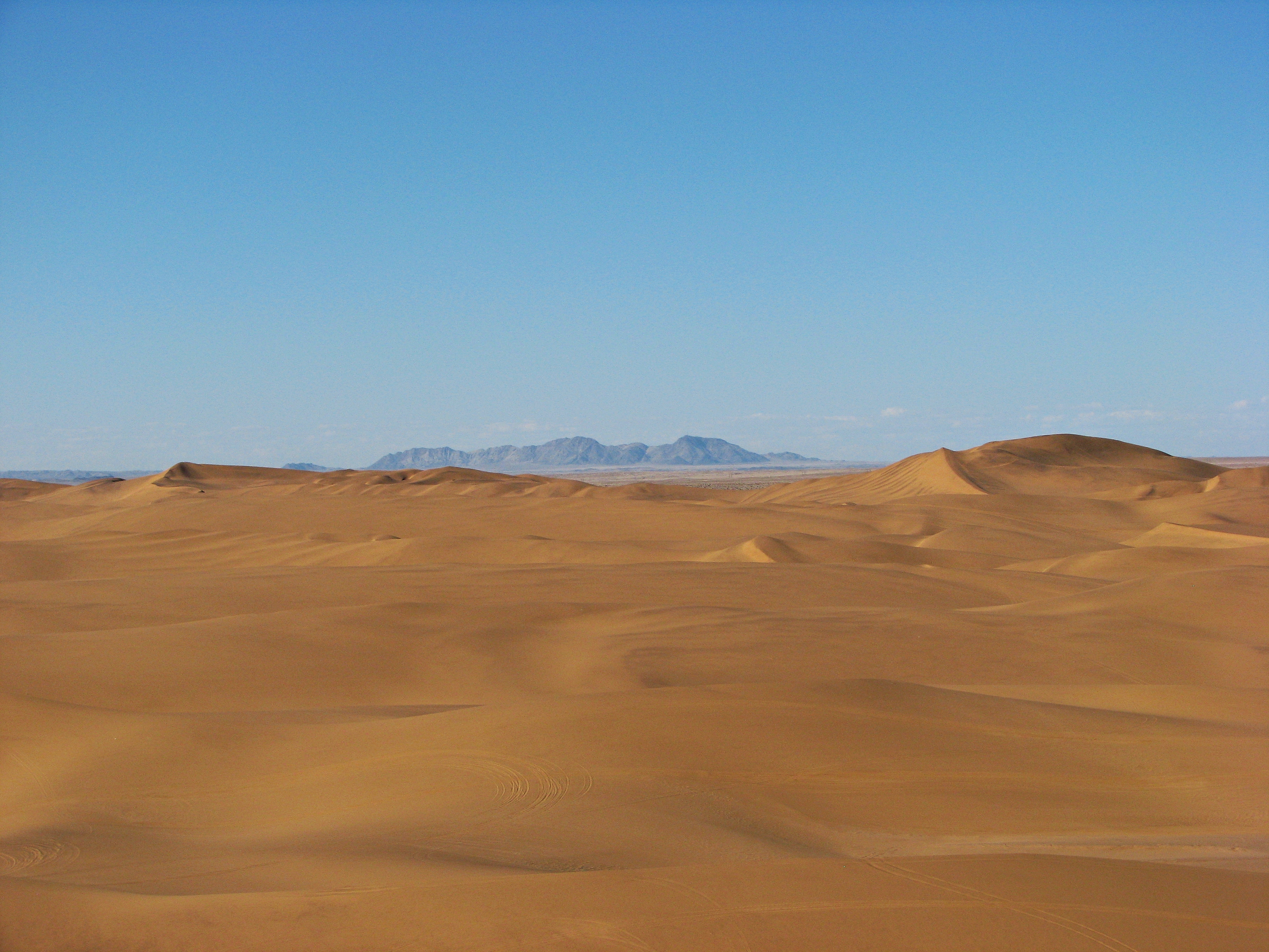
The numbers are hard to visualize. Nearly 1.6 million birds have been recorded along this 1,600-kilometer central coastline, representing some 75 species. BirdLife International has designated the park an Important Bird Area, and with good reason. The flagship species is the Damara tern, a small seabird endemic to Namibia that breeds on the gravel plains within the park. Non-breeding individuals migrate north in winter, but the breeding population depends on Dorob's undisturbed plains -- flat, open expanses of gravel that look barren to human eyes but offer exactly the conditions the terns require. The park also protects lichen fields, those slow-growing, fragile crusts of symbiotic organisms that can take decades to recover from a single tire track. In the Namib, where rainfall is measured in single-digit millimeters, lichen fields represent some of the oldest continuously living surface communities on the planet.
A Park You Can Drive Through
Dorob is not a wilderness sealed behind fences. The Trans-Kalahari Highway passes through it, and several mining, fishing, and industrial towns sit along its route. Swakopmund, one of Namibia's most popular tourist destinations, lies within its boundaries. This creates a management challenge unlike that of any conventional national park. The solution has been zoning: Damara tern breeding sites, gravel plains, the Kuiseb Delta, Sandwich Harbour, the Walvis Bay Lagoon, and the Swakop River each receive different levels of protection. Tourism and recreation are permitted in designated areas, while sensitive habitats are off-limits. Rod Braby, project coordinator of the Namibia Coast Conservation and Management project, has described the approach as managing a big open system with connections to the marine, coastal, and escarpment environments.
Rules Written in Desert Time
The conservation regulations for Dorob reflect the fragility of desert ecosystems where recovery is measured in decades, not seasons. Powered aircraft are forbidden below one kilometer altitude except during takeoff and landing sequences. Commercial and competitive activities require permits from the Ministry of Environment and Tourism. Hunting, feeding, or disturbing any animal is expressly prohibited, as is collecting any object of botanical, zoological, geological, archaeological, or historical interest. These rules might sound standard for a national park, but in the Namib they carry unusual weight. A vehicle track across a lichen field can remain visible for fifty years. A disturbed Damara tern colony may not return to the same site. The desert looks empty, but its apparent barrenness is a form of fullness that requires a different kind of attention to recognize.
The Megapark Vision
Dorob's creation was less about what it contains than about what it connects. To the south, the Namib-Naukluft Park protects the towering dunes of Sossusvlei and the ancient landscapes around Sandwich Harbour. North of Dorob, the Skeleton Coast National Park extends to the Angolan border, guarding a graveyard of shipwrecks and some of the most forbidding coastline in Africa. With Dorob filling the central gap, the entire Namibian coast from border to border is now under some form of protection. The vision of a single Namib-Skeleton Coast National Park remains unrealized in name, but the reality on the ground is close. From the air, the transition is seamless: desert, coast, and ocean running together for over 1,500 kilometers without interruption. It is one of the largest continuous protected coastal landscapes on Earth, held together by the last piece of the puzzle -- a park named for the dry land that makes it possible.
From the Air
Located at 22.82S, 14.61E along Namibia's central coast. From altitude, Dorob National Park presents as a vast stretch of hyper-arid desert and gravel plains between the Atlantic Ocean to the west and the escarpment to the east. The coastal towns of Swakopmund and Henties Bay are visible within the park boundaries. The Walvis Bay lagoon and salt pans mark the southern extent. The Kuiseb River delta is visible as a vegetation line cutting through the desert. The Trans-Kalahari Highway is visible as a linear feature crossing the park. Gravel plains and lichen fields appear as pale, textured surfaces. Nearest airports include Walvis Bay Airport (FYWB) to the south and Swakopmund's airfield. Note: powered aircraft are restricted below 1 km altitude within the park except during takeoff and landing.