Dos Pilas: The Treacherous Twin
The emblem glyph tells the whole story. Dos Pilas used the exact same royal symbol as Tikal - the Mutal sign, a drawing that scholars believe depicts a hair knot - because the city was founded as Tikal's proxy in AD 629, sent to control the lucrative trade routes along the Pasion River in the Petexbatun region of what is now Guatemala's Peten department. Within two decades, the proxy had switched sides. Balaj Chan K'awiil, the prince whom Tikal had installed to extend its influence, became instead the loyal vassal of Calakmul, Tikal's greatest enemy. He kept Tikal's royal insignia while serving its sworn rival - an act of political treachery so brazen that its echoes are still legible in the hieroglyphic stairways carved into the limestone of this jungle site.
A Prince Between Two Empires
Balaj Chan K'awiil had ruled Dos Pilas since AD 629, when Tikal installed him as an infant prince to govern the new outpost. In AD 648, Calakmul's king Yuknoom the Great attacked and captured him, then reinstated him on his throne as a Calakmul vassal - transforming Tikal's proxy into its enemy's servant overnight. Tikal did not take this lightly. In AD 672 King Nuun Ujol Chaak of Tikal attacked and captured Dos Pilas, driving Balaj Chan K'awiil into five years of exile - almost certainly at the court of his Calakmul patrons. His return in AD 677 came on the very same day that Calakmul celebrated a victory over Tikal, revealing just how dependent the breakaway prince was on his foreign overlord. Two years later, in AD 679, Tikal and Dos Pilas clashed again, and this time the smaller city handed Tikal a humiliating defeat. The battle consolidated the splinter kingdom's independence for good. Balaj Chan K'awiil continued visiting Calakmul - celebrating rituals there in 682 under Yuknoom the Great and attending the enthronement of Yuknoom Yich'aak K'ak' in 686. He also sent his daughter, the formidable Lady Six Sky, to the distant city of Naranjo, where she refounded an obliterated dynasty.
Sacred Ground Beneath the Pyramids
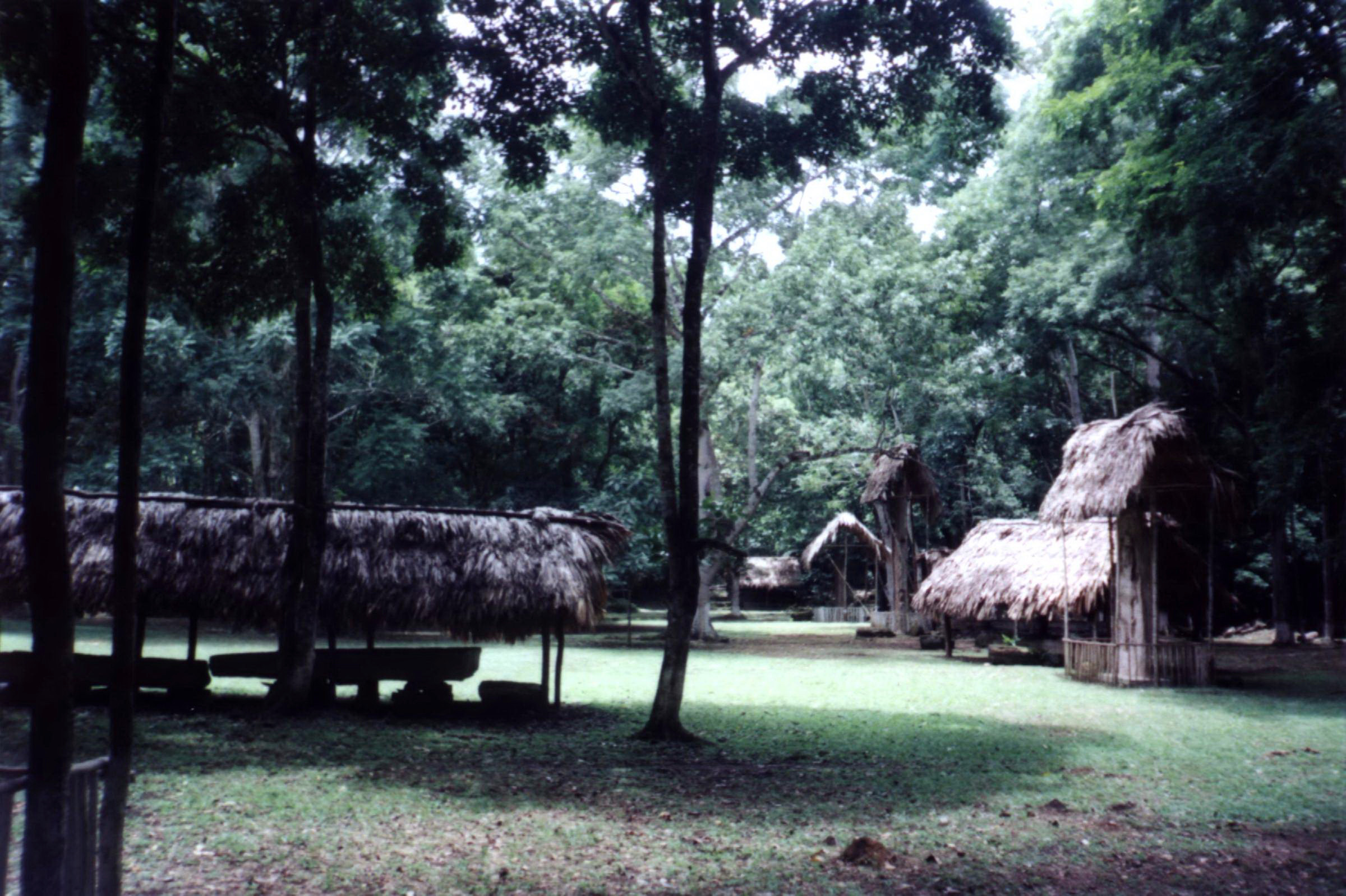
What drew the Maya to this particular spot predates the warring kingdoms by a thousand years. All the major architecture at Dos Pilas aligns with cave systems that were sacred long before the Late Classic period. The caves contain Preclassic pottery, evidence that people were performing rituals here centuries before Tikal ever sent a prince south. El Duende, the city's largest pyramid, was built by enlarging and terracing a natural hill to create what appears to be a single massive structure. Beneath it runs a tunnel connecting to the Cueva de Rio El Duende. The Cueva de Sangre - the Cave of Blood - stretches more than three kilometers through tunnels underneath a small hill, with four entrances. When Dos Pilas finally fell, the conquerors did not merely destroy the buildings above ground. They blocked the cave entrances with dressed stone stripped from nearby structures, sealing off the sacred landscape in what archaeologist James E. Brady interprets as a deliberate termination ritual - an attempt to kill not just a city but the spiritual power beneath it.
The Collapse of a Conqueror
The balance of power shifted dramatically in AD 695 when Tikal defeated Calakmul, undermining the alliance network that had sustained Dos Pilas. For a time, the city actually prospered - tribute flowed in, the nearby site of Aguateca became a twin capital, and victory monuments were erected simultaneously in both cities. But the region was destabilizing. In AD 761 the vassal cities of Tamarindito and other Petexbatun centers rebelled. A hieroglyphic stairway at Tamarindito records the forced flight of K'awiil Chan K'inich, the last king of Dos Pilas, who was never mentioned again in any inscription. The violence of the end is written in the archaeology: in the Bat Palace, excavators found the smashed remains of a royal throne. The royal family likely fled ten kilometers southeast to the more defensible Aguateca.
Stripped Stone and Last Stands
After the rulers fled, a small group of refugees occupied the ruins. They tore down the palace of Balaj Chan K'awiil himself, stripping its stone to throw up crude defensive walls. The hieroglyphic stairway that once told the founding story of the dynasty was buried when the defensive wall was built across it - which is how archaeologists eventually discovered it during excavations in 1990. This refugee village was itself overrun and abandoned in the early 9th century, ending Dos Pilas as a settlement. The ruins were first reported in 1953-54 by Jose and Lisandro Flores, two brothers from Sayaxche, though locals probably already knew of them. Pierre Ivanoff visited in 1960 and called the place Dos Pozos - 'two wells' in Spanish. Systematic excavation began in 1989 under Arthur Demarest of Vanderbilt University and Juan Antonio Valdes of the University of San Carlos of Guatemala, supported by the National Geographic Society. They unearthed the tomb of Itzamnaaj K'awiil in 1991 and identified the hieroglyphic inscriptions as belonging to the Ch'olan Maya language.
From the Air
Located at 16.446N, 90.296W in the Petexbatun region of Guatemala's Peten department, at 160 meters elevation. The site sits in dense jungle between the Pasion and Salinas rivers, approximately 8 km east of the Mexican border and 120 km southwest of Tikal. The nearby town of Sayaxche on the Pasion River serves as the access point. Closest airports: Mundo Maya International Airport (MGMM) near Flores, approximately 100 km northeast. Best viewed at 2,000-4,000 feet; look for the clearing amid thick jungle canopy along the Petexbatun escarpment. Lake Petexbatun is visible to the southeast as a navigation landmark.