Edisto Island
The 1860 census tells the story in two numbers: 329 white residents, 5,082 enslaved people. Edisto Island was one of the wealthiest places in antebellum South Carolina, and those numbers explain both why and how. The long-staple Sea Island cotton grown here fetched premium prices in European markets, and the labor that made those fortunes possible was performed almost entirely by enslaved Africans who, in the relative isolation of this barrier island, forged a language and a culture -- Gullah -- that persists to this day. Named for the Edistow people, a sub-tribe of the Cusabo who fished its creeks and traded with the upcountry Catawba long before any European ship appeared on the horizon, Edisto Island has cycled through colonial ambition, plantation wealth, Civil War upheaval, and a quiet reinvention as a place where history is not so much preserved as lived.
Locke Island and the Cotton Kings
The English philosopher John Locke never set foot on Edisto Island, but it bore his name for decades in the late 1600s -- a nod to his role as Secretary to the Lords Proprietors of Carolina. The first European land grants arrived before 1700, following failed French and Spanish settlement attempts in the 1500s. Early planters harvested timber, traded deerskins, grew indigo, raised free-ranging cattle for the Caribbean beef trade, and cultivated rice. But cotton changed everything. After the American Revolution, Edisto planters discovered that the island's soil and climate produced an exceptionally fine long-staple Sea Island cotton. Fortunes followed. Plantation houses rose along the island's oak-lined roads -- Cassina Point, Brookland, Windsor, Prospect Hill -- many of which still stand and are listed on the National Register of Historic Places. The wealth was staggering. So was its cost.
Gullah Roots Run Deep
The hundreds of enslaved Africans brought to Edisto's plantations came largely from the rice-growing regions of West Africa, selected specifically for their agricultural knowledge. In the isolation of the Sea Islands, separated from the mainland by miles of tidal marsh, they developed the Gullah creole language -- a blend of English and West African tongues -- along with distinct traditions of basket weaving, cuisine, storytelling, and spiritual practice. That culture never disappeared. Edisto has one of the highest rates of Black landownership in the Lowcountry, a direct legacy of Reconstruction-era land redistribution. Emily Meggett, a Geechee-Gullah community leader, chef, and author, carried island foodways into the twenty-first century. Kardea Brown films her Food Network show, Delicious Miss Brown, at her family's house on the island. The Gullah presence gives Edisto a cultural continuity that stretches back centuries.
A War Fought on Its Shores
When the Civil War came, Edisto Island emptied. White planters fled in November and December 1861, and people who had escaped slavery began establishing refugee camps on the abandoned plantations. In January 1862, Confederate forces raided the island and killed unarmed settlers. By February, Union troops arrived, turning Edisto into a staging area for campaigns against Charleston, 25 miles to the northeast. The island saw skirmishes, the construction of Pineberry Battery along the Edisto River, and a brief but intense period as a military outpost before most Union forces departed for the ill-fated Battle of Secessionville in June. The colony of freed people was relocated to St. Helena Island, and Edisto spent most of the remaining war years largely abandoned. During Reconstruction, the Freedmen's Bureau administered the island, and its overwhelmingly African-American population made it a base of Republican support. The Ku Klux Klan, facing a population that was both heavily Black and garrisoned by federal troops, left Edisto alone.
Famous Names, Quiet Island
For a barrier island with no stoplight, Edisto has produced a remarkable roster of notable figures. James Jamerson, the Motown bass player whose lines anchored hits by the Temptations, Stevie Wonder, and Marvin Gaye as a member of the Funk Brothers, was born here. Jasper Johns, one of the most influential American artists of the twentieth century, bought a home and studio at Edisto Beach in 1961 -- it burned down in 1966. Patti LuPone, the Broadway legend, keeps a winter home on the island. And the island itself has played a quieter role in science and conservation: James C. Greenway combined several properties to create Botany Bay, now a state wildlife management area where the eerie skeletons of dead trees stand on eroding beaches -- a stark and beautiful reminder that the coast is always shifting.
Salt Marsh and Spanish Moss
Edisto Island lies southwest of Charleston, straddling the boundary between Charleston and Colleton Counties. The landscape is pure Lowcountry: hanging-moss live oaks, tidal creeks winding through spartina grass, and wide beaches that face the open Atlantic. Edisto Beach State Park offers beachfront campsites shaded by maritime forest -- a rarity along the Southeast coast. The park's nature trail winds through a forest of palmetto and live oak to an ancient shell midden left by indigenous inhabitants thousands of years ago. Unlike the heavily developed resort islands nearby, Edisto has retained a slower pace. The roads are two-lane. The restaurants are local. The dark sky at night is full of stars. It is one of those rare coastal places where the twenty-first century arrives on island time.
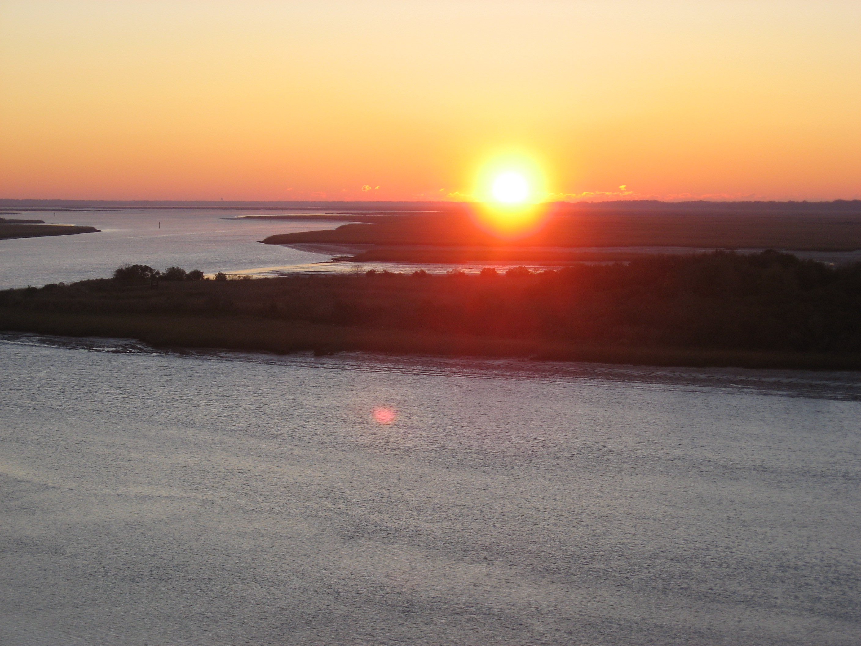
From the Air
Located at 32.559N, 80.295W, Edisto Island is a large Sea Island visible as a distinct green landmass surrounded by tidal creeks and salt marsh, southwest of Charleston. The island's irregular coastline and network of waterways are clearly visible from 3,000-5,000 feet AGL. Edisto Beach runs along the southern shore facing the Atlantic. The Edisto River forms a natural boundary to the northwest. Nearest airports: KJZI (Charleston Executive Airport, 20nm NE), KCHS (Charleston International, 35nm NE), KARW (Beaufort Executive, 25nm SW). The contrast between developed Edisto Beach at the island's southern tip and the undeveloped marshland and plantation areas inland is striking from the air.