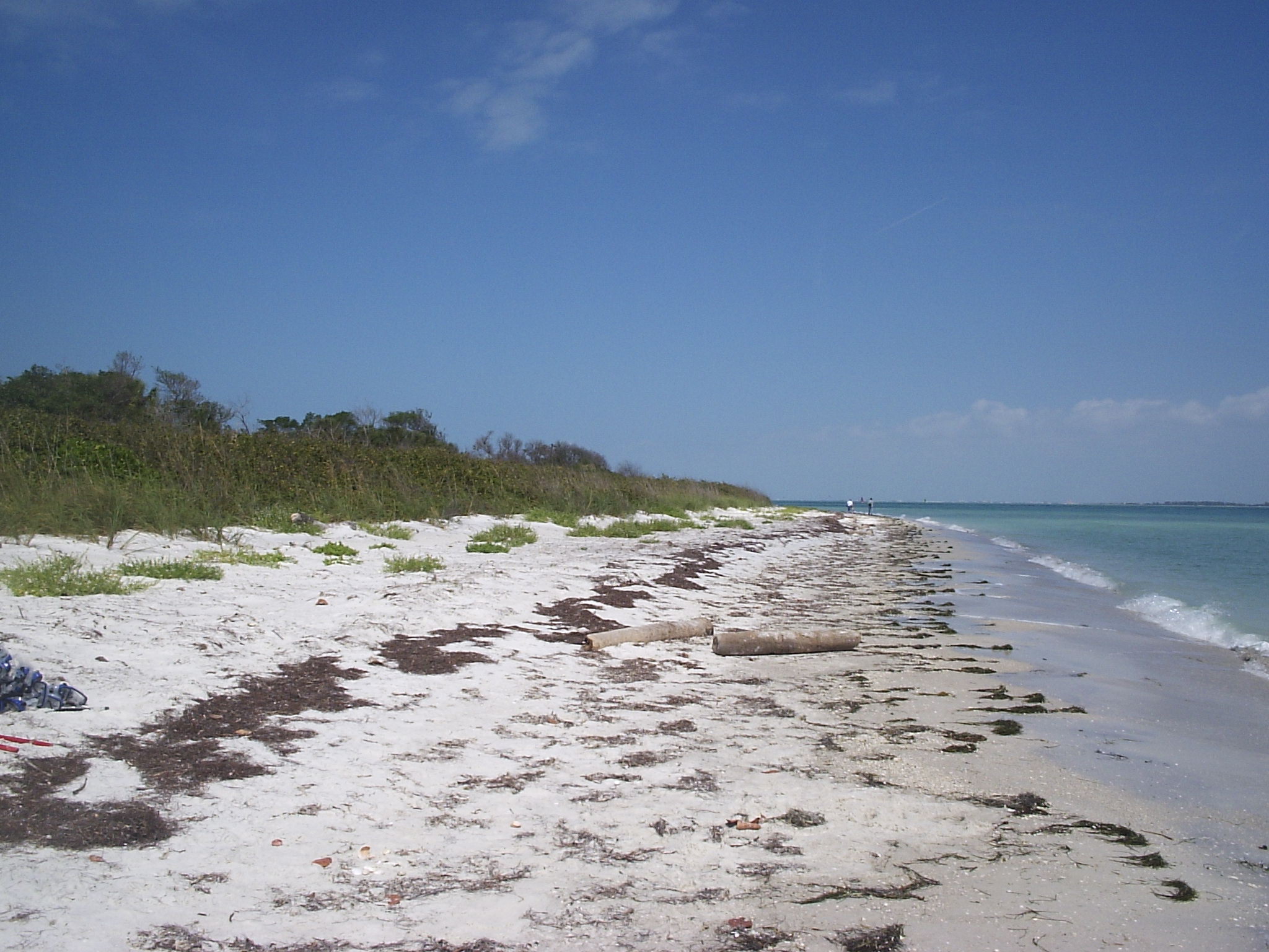
Egmont Key: The Island That Refused to Stay Tamed
The lighthouse keeper tied his rowboat to a palmetto tree and held on. The Great Gale of 1848 had swamped Egmont Key so thoroughly that the original lighthouse was all but destroyed, and the only thing between the keeper and the open Gulf of Mexico was a length of rope and a stubborn palm. When the storm passed, he rowed to Fort Brooke on the mainland and tendered his resignation. It is the kind of story that defines Egmont Key: a narrow strip of sand at the mouth of Tampa Bay that humans have tried to claim for centuries, and that the Gulf keeps taking back. Today the island holds the ruins of a Spanish-American War fort, a working lighthouse dating to 1858, nesting colonies of seabirds, and no drinking water, no restrooms, and no roads. You can only get here by boat.
Isla de San Blas y Barreda
Egmont Key became an island roughly 11,000 years ago as rising seas separated it from the mainland. The Tocobaga people maintained a persistent but seasonal presence, leaving behind arrowheads and spear points as evidence. A Spanish surveyor discovered an abandoned canoe, presumably Tocobaga, on the island in 1757. Spanish cartographers had already mapped the place in the 1750s, naming it Isla de San Blas y Barreda after a Cuban official. When Britain acquired Florida in 1763, an English surveyor renamed the island Egmont, honoring Lord Egmont, the First Lord of the Admiralty. The Spanish incursions and the broader collapse of the Tocobaga population meant their presence on the islands ended by the late 1700s. What the Tocobaga had used lightly and left intact, European powers would spend the next two centuries fortifying, abandoning, and fortifying again.
Batteries in the Sand
The Spanish-American War transformed Egmont Key from a lighthouse station into a military installation. Fort Dade rose on the island with batteries of disappearing guns, Armstrong cannons, and mortar emplacements designed to defend Tampa Bay's shipping channel. At its peak, Fort Dade housed 300 residents and bristled with weaponry: Battery McIntosh mounted two 8-inch guns on disappearing carriages, Battery Howard held two 6-inch guns, and Battery Burchsted combined 6-inch Armstrong guns with 3-inch masking pedestal mounts. The fortifications were never tested in combat. By the 1920s, the Army began disarming the batteries one by one. Battery Burchsted was stripped in 1919, Battery Page the same year. The last guns fell silent by 1926. Today the brick roads of Fort Dade lead through palm-shaded ruins, the concrete emplacements slowly yielding to salt air and root systems.
Wings Over the Gulf
On August 15, 1928, Pan American Airways suffered its first crash near Egmont Key. A Fokker F.VIIIb/3m trimotor named General Machado, flying from Havana to Key West, became lost and ditched in the Gulf of Mexico off the island after running out of fuel. One of the five people aboard, Norman Ageton, died in the incident. The airplane had been built originally for Colonial Air Transport before being converted for Pan Am service. The crash happened in the same year that the island's military chapter was formally closing, a coincidental overlap of one era ending and another beginning. Aviation was becoming the dominant force over the Gulf, but on Egmont Key, the future belonged not to aircraft or artillery but to the birds.
A Refuge for the Wild
The U.S. Fish and Wildlife Service established the Egmont Key National Wildlife Refuge in 1974, and in 1989 entered a cooperative agreement with Florida Park Service to manage the entire island. The designation was well earned. Box turtles and gopher tortoises trundle through the undergrowth. Dolphins and manatees patrol the surrounding waters. Osprey, brown pelicans, white ibis, royal terns, sandwich terns, black skimmers, American oystercatchers, and laughing gulls nest and feed across the island. The southern end and sections of the east beach are closed year-round to all public access, providing undisturbed nesting habitat and rest stops for spring and fall migrants. Egmont Key was listed on the National Register of Historic Places in 1978, recognized for its military significance. Just 2.75 miles northwest, divers can explore the shipwreck of the tugboat USS Narcissus.
Getting There Is the Point
Egmont Key has no admission fee, no gift shop, no visitor center in the traditional sense. The old Fort Dade jail was rebuilt in the early 2000s and repurposed as a modest visitors' facility, constructed with Ludowici tiles from the same manufacturer that supplied the original structure. But the island remains deliberately raw. Since 1926, the Tampa Bay Pilot Association has operated its pilot station on the island, guiding ship traffic into and out of the Port of Tampa. The lighthouse, maintained by the U.S. Coast Guard since 1858, still functions. Open 365 days a year from 8 a.m. until sunset, Egmont Key is accessible only by ferry or private boat from Fort De Soto Park. That remoteness is the island's greatest feature and its best protection. The Gulf will keep reshaping it, the ruins will keep crumbling, and the tortoises will keep walking the brick roads of a fort that nobody needs anymore.
From the Air
Located at 27.59°N, 82.76°W at the mouth of Tampa Bay. From altitude, Egmont Key appears as a narrow sandy island southwest of Fort De Soto Park's Mullet Key, with the Egmont Key Lighthouse visible as a white structure near the center. The Sunshine Skyway Bridge spans Tampa Bay to the northeast. Brick roads and Fort Dade ruins may be discernible at lower altitudes. Nearby airports include Albert Whitted Airport (KSPG) in St. Petersburg, roughly 15 nm to the north-northeast, and St. Pete-Clearwater International (KPIE) about 20 nm north. Tampa International Airport (KTPA) lies approximately 25 nm to the northeast. The island sits at the main shipping channel entrance to Tampa Bay, so large vessel traffic is common in the surrounding waters.