Ekbatan: Tehran's Concrete Utopia
The name borrows from antiquity. Ekbatan, a variant of Ecbatana, derives from Old Persian Hangmetana, meaning "place of gathering." The original Ecbatana was the capital of the Median Empire around 700 BC, the first capital established by ancient Iranians in West Asia. This modern Ekbatan, five kilometers west of central Tehran, takes the old name and fills it with concrete, green courtyards, and the compressed energy of tens of thousands of residents living in one of the largest planned developments ever built in Western Asia. The American company Starrett completed Phase 1 before the 1979 revolution swept the project's original owners from power. What the revolution could not sweep away was the architecture itself.
Before and After the Revolution
Ekbatan began as a private venture, the largest property development by a privately held company in Western Asia. The constructor group, owned principally by Rahman Golzar and his family, also operated Ekbatan Bank, one of the fastest-growing private banks in the region. Starrett, the American construction firm, built Phase 1 to completion. Then came 1979. The new government nationalized the entire group, its subsidiaries, its affiliates, and its bank. Ownership passed to the Ministry of Housing. Ekbatan Bank disappeared into the state banking system. The town itself continued to grow, eventually expanding to three phases and 15,500 residential units spread across more than 2.2 million square meters. It was later sold to the public and is now privately owned, a development that outlived the political system that confiscated it.
Three Phases, Three Architectures
Phases 1 and 3 share a stepped silhouette: five floors in the first tier, nine in the second, twelve in the third, each block rising like a ziggurat from the green spaces between buildings. Phase 2 breaks the pattern entirely. Its blocks are enormous twelve-story box shapes joined at angles, their interiors built as duplexes with kitchens and living areas on the first floor and bedrooms above. Apartments range from compact 50-square-meter studios to sprawling 240-square-meter family units. Green fields fill the gaps between structures, part of a landscape design that tried to blend nature with dense urban living. The Mega Mall anchors Phase 2's commercial life, and schools serve all three phases. Two Tehran Metro stations connect Ekbatan to the rest of the capital.
Art, Music, and Defiance
Ekbatan's concrete walls became canvases. The neighborhood is famous across Tehran for its graffiti, producing artists like A1one, widely considered the father of Iranian street art, and Oham. The underground music scene has roots here too: the rock band 127 and the rapper Rez both launched their careers within these blocks. On the last Wednesday evening before Nowruz each year, Ekbatan hosts one of the largest Chaharshanbe Suri festivals in Tehran, the ancient fire-jumping celebration that predates Islam. In March 2023, the town made national headlines when a group of young women, dubbed the "Ekbatan girls," posted a dance video protesting the government's stance on women's rights. They were detained. The video went global. Selena Gomez called them courageous.
Stadiums and a Boulevard Named for a Journalist
Two stadiums anchor Ekbatan's sporting life. The Ekbatan Stadium, formerly known as Apadana Stadium and once owned by Persepolis F.C., now serves as home ground for Rah Ahan F.C. It hosted preliminary football matches during the 1974 Asian Games. The Dastgerdi Stadium, once home to Pas F.C., now hosts Iran's national under-20 football team and held matches for the 2012 AFC U-16 Championship. The main boulevard through Phase 2 carries the name of Mahmoud Saremi, an Iranian news agency reporter killed by the Taliban while working in Mazar-i-Sharif. In Ekbatan, even the street names carry stories of loss and principle.
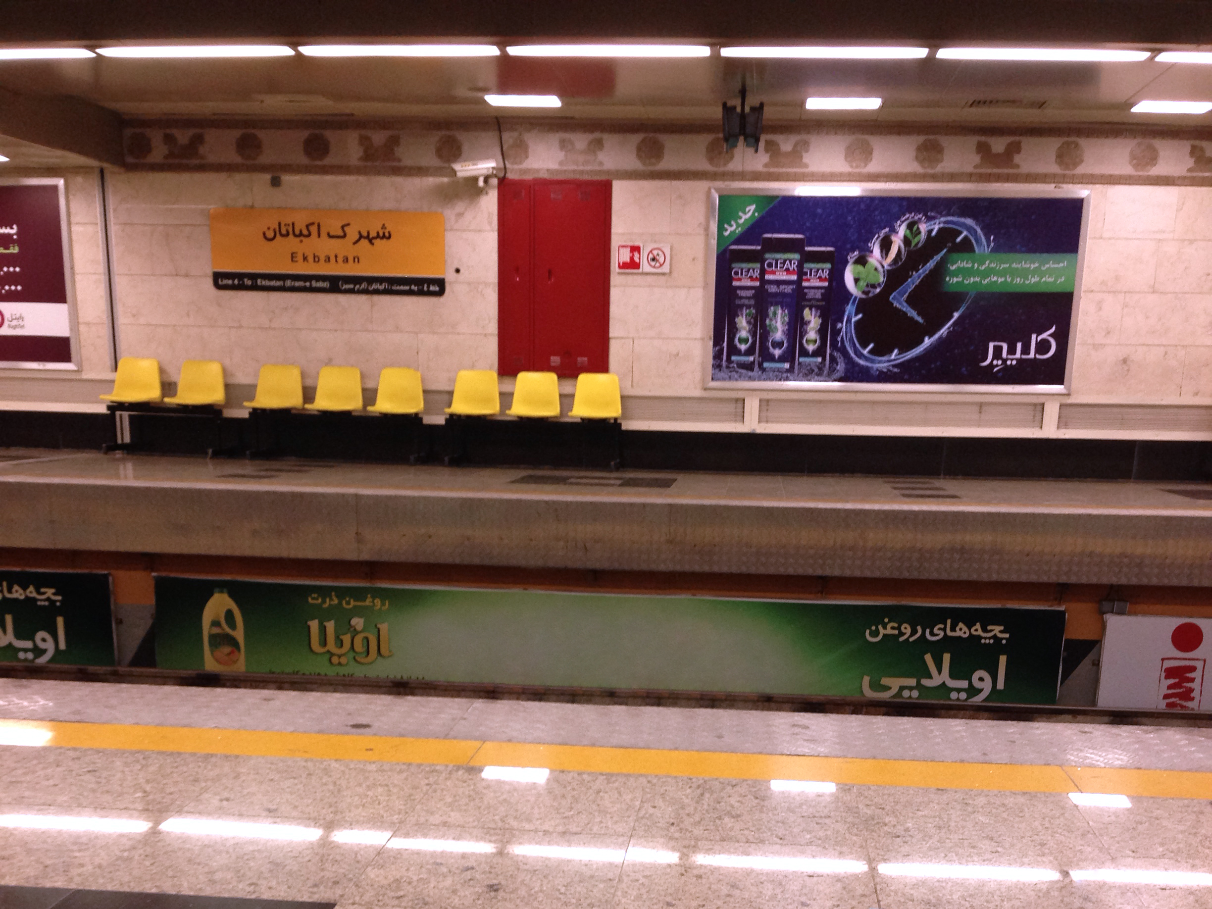
From the Air
Located at 35.71N, 51.31E in western Tehran, approximately 5 km west of the city center. Ekbatan's massive block structures are visible from altitude as a distinctive cluster of high-rise development set apart from Tehran's more organic urban fabric, with green spaces between buildings. The stepped profiles of Phases 1 and 3 and the angular box shapes of Phase 2 are distinguishable at lower altitudes. Nearest airports: Tehran Mehrabad International Airport (OIII) approximately 3 km to the northeast, Imam Khomeini International Airport (OIIE) about 45 km to the south. Best viewed at 2,000-4,000 feet AGL. Mehrabad's runways are a dominant visual landmark immediately east.