El Avila National Park
Every December in Caracas, someone will say "Pacheco ha llegado" -- Pacheco has arrived -- and everyone knows what it means: the weather is turning cold. The legend traces to a flower picker who lived in the village of El Galipan, high on the northern slopes of the mountain that dominates the capital. Each year he descended with his harvest to sell in the Plaza Bolivar, and his arrival coincided with the cool December winds. The mountain is El Avila, officially Waraira Repano National Park, and it is so woven into the daily life of Caracas that residents use its peak to orient themselves -- the summit marks north, always.
A Wall of Green Between City and Sea
El Avila rises as an 80-kilometer-long ridge of the Cordillera de la Costa, roughly 16 kilometers wide, separating the Caracas valley from the Caribbean Sea. The park encompasses over 81,800 hectares, climbing from 120 meters at the coastal lowlands to 2,765 meters at Pico Naiguata, the highest point. Caracas sits in its narrow valley at 950 meters above sea level, pressed against the mountain's southern flank. The geography creates a natural buffer: the forested slopes absorb pollution, moderate runoff, and physically limit the capital's northward sprawl. Caracas residents call it "el pulmon de la ciudad" -- the lungs of the city -- and the phrase is less metaphor than description. Without this mountain wall, the capital of five million people would have no breathing room.
Ecosystems Stacked by Altitude
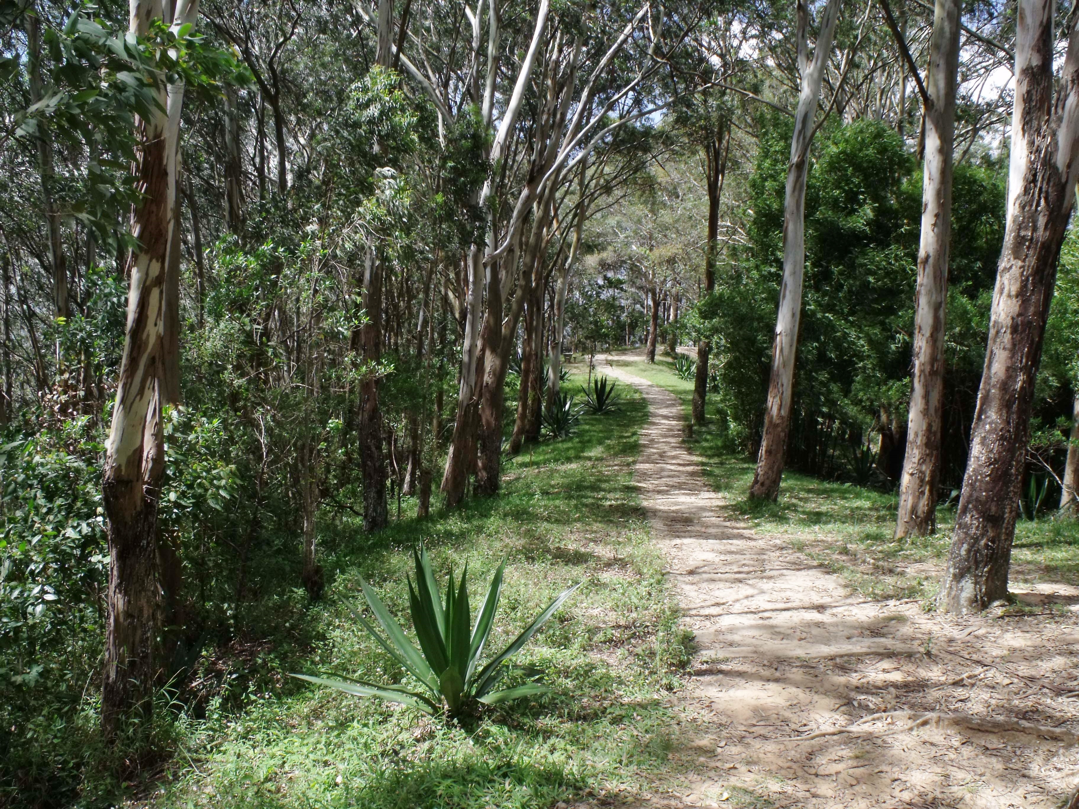
The altitude gradient on El Avila compresses an extraordinary range of ecosystems into a relatively small space. Near sea level on the northern slopes, xeric forests of thorny cacti and drought-adapted shrubs bake in the Caribbean sun. Climb to 800 meters and sub-evergreen forests close overhead, their canopy dense enough to dim the midday light. Between 1,200 and 2,200 meters, evergreen forests thick with orchids, bromeliads, and arborescent ferns take hold -- including the only natural population of the critically endangered Venezuelan walnut tree. Cloud forest dominates from 1,500 meters upward, where cooling air masses produce near-constant condensation. Above 2,200 meters, where water becomes scarce despite the clouds, sub-paramo vegetation takes over: low shrubs, the frailejón tree, and Spanish flag wildflowers clinging to rocky ground. Temperatures drop from an average of 13 degrees Celsius in the Caracas valley to 10 degrees at Naiguata peak, where the record low is 2 degrees.
Five Hundred Kinds of Wings
The park's biodiversity numbers are staggering for a protected area bordering a major city. More than 500 bird species have been documented -- representing 36 percent of all Venezuelan avifauna -- including nine species endemic to the country and three classified as threatened. The querrequerre, a vivid green jay, is among the most recognizable. Beyond birds, the park harbors approximately 120 mammal species, more than 100 butterfly species, 30 reptiles, and 20 amphibians. Over 1,800 plant species grow within its boundaries, several of them endemic to the Cordillera de la Costa range and some found only within the park itself. This density of life exists partly because El Avila acts as a biological corridor along the coastal mountains, and partly because its altitude gradient creates dozens of microclimates within walking distance of each other.
The Doctor, the Hotel, and the Cable Car
El Avila collects odd stories the way its cloud forests collect moisture. Hidden along a footpath on the mountain is the hacienda, laboratory, and mausoleum of Gottfried Knoche, a German-born doctor who settled in Venezuela in the nineteenth century and became notorious for his experiments in mummification -- his preserved subjects reportedly lined the property for decades. Higher up, the Hotel Humboldt perches at 2,105 meters above the city, a modernist landmark built in 1956 along with a cable car system that climbs to the summit and descends to the coastal town of Macuto on the other side. The teleferico was the longest cable car ride in the world when it opened. It closed for twenty years before reopening in February 2002. Every December, a massive illuminated cross -- the Cruz de Navidad -- blazes high on the mountainside, visible across the entire Caracas valley, marking both the season and the mountain's role as the city's landmark.
Pressure From Below
Declared a national park in 1958, El Avila fulfilled a conservation ambition that had simmered since the nineteenth century. But protection on paper has not prevented real threats. Forest fires, many of them set deliberately, regularly scorch the slopes closest to Caracas. Illegal settlements encroach on the park's southern boundary. The concentration of rangers and infrastructure near the capital means the more remote northern slopes and eastern sectors are effectively unpatrolled, suffering from poaching, exotic plant invasions, and a lack of basic trail signage. The very amenities that bring people to the mountain -- the cable car, the Hotel Humboldt, the network of hiking trails from Los Venados to Pico Naiguata -- generate foot traffic that accelerates erosion. El Avila is classified as vulnerable, a designation that captures the tension between a city that depends on its mountain and a mountain that suffers from the city's proximity.
From the Air
Located at 10.53N, 66.87W, the park forms the entire northern wall of the Caracas valley. The 80 km ridgeline is unmistakable from altitude -- a green mountain barrier between the urban sprawl of Caracas to the south and the Caribbean coastline to the north. Pico Naiguata (2,765m / 9,072 ft) is the highest point. Nearest major airport is Simon Bolivar International Airport (SVMI/CCS) on the Caribbean side. The Hotel Humboldt at the summit and the cable car line are visible landmarks. Best viewed at 8,000-12,000 feet AGL on approach from either coast or valley side.