El Morro National Monument
"Paso por aqui" -- passed by here. Juan de Onate, the first Spanish governor of New Mexico, carved those words into a sandstone cliff on April 16, 1605, beside a pool of rainwater at the base of a massive promontory in what is now western New Mexico. He was not the first to leave his mark. Ancestral Puebloan people had carved petroglyphs into the same rock centuries earlier, and up to 600 of them had lived in a 355-room pueblo on the mesa top above. Nor would Onate be the last. For the next 300 years, every explorer, soldier, missionary, and emigrant who passed this way stopped at the same pool, drank the same water, and -- unable to resist -- picked up a tool and carved their name into the cliff face. El Morro is the American Southwest's oldest guest book, and the signatures are still legible.
The Headland and Its Many Names
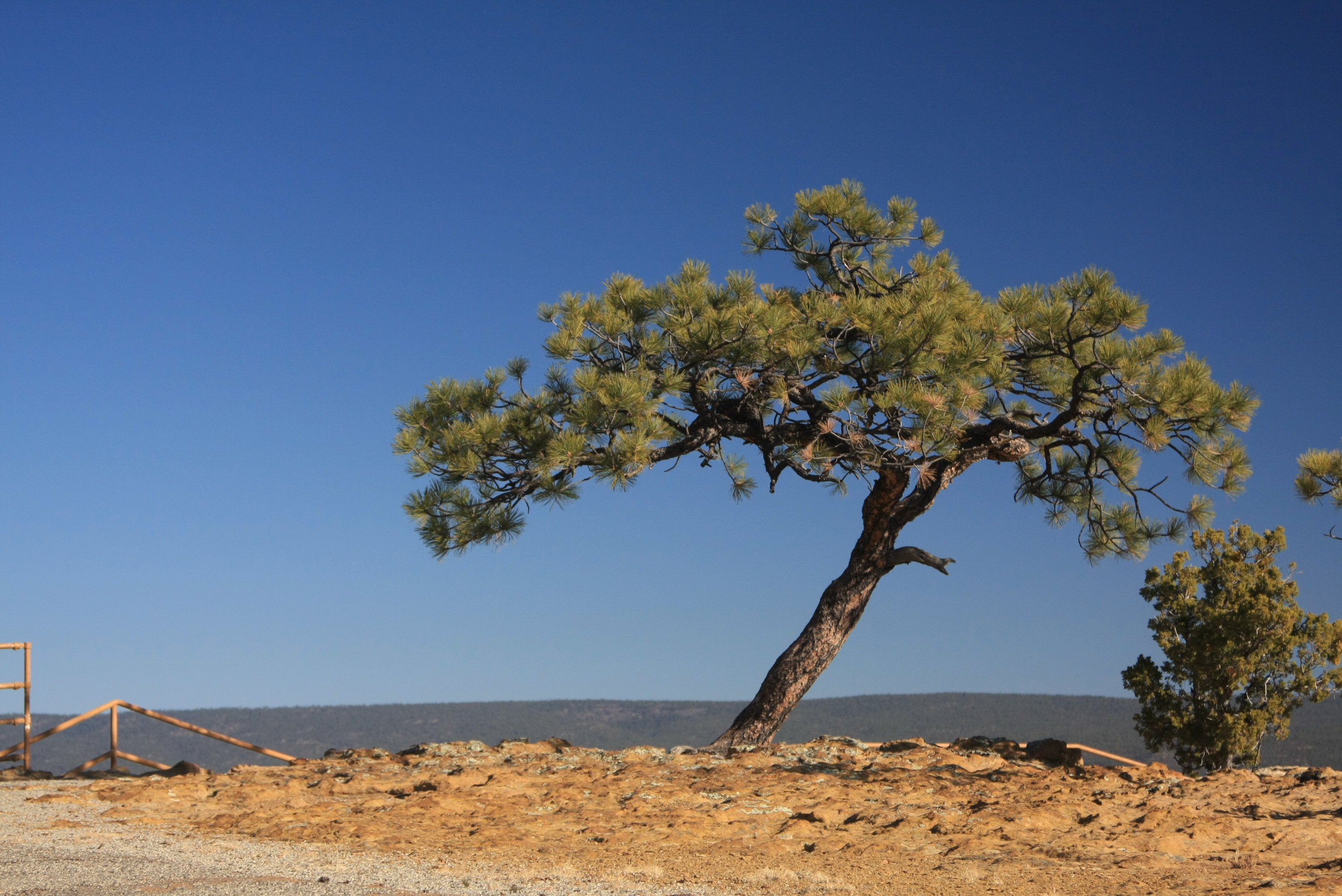
The great sandstone promontory rises from the high desert of Cibola County like the prow of a ship, and every culture that encountered it gave it a different name. Spanish explorers called it El Morro -- The Headland. The local Zuni people call it A'ts'ina, meaning Place of Writings on the Rock. Early Anglo-Americans simply called it Inscription Rock. The formation sits along the ancient Zuni-Acoma Trail, a trade route that connected the pueblos of the region long before Europeans arrived. At its base, a natural pool collects rainwater and snowmelt -- an oasis in an otherwise arid and desolate landscape. Between roughly 1275 and 1350 AD, the Ancestral Puebloan people built a massive pueblo of more than 355 rooms on the mesa top, strategically positioned above the water source and the trail. The village's population reached as many as 600 people before it was abandoned, likely due to drought and shifting trade patterns.
Three Centuries of Signatures
The inscriptions at El Morro read like a compressed history of the American Southwest. Onate's 1605 carving is the oldest legible European inscription, but it sits alongside dozens of others spanning three centuries. In 1629, Francisco Manuel de Silva Nieto recorded his expedition on the rock face. Spanish soldiers, priests, and colonial administrators continued to add their names throughout the 1600s and 1700s. After the Mexican-American War brought the region under United States control, Anglo-American travelers began adding their own inscriptions. In 1858, members of the Rose-Baley Party -- a group of emigrants bound for California -- carved their names into the cliff, including Leonard Rose and diarist John Udell. The inscriptions are not mere graffiti; many include dates, titles, expedition details, and even short poems and stories of the journeys that brought their authors to this remote water source. In 1906, U.S. federal law prohibited further carving, freezing the guest book in time.
Roosevelt's Monument
President Theodore Roosevelt designated El Morro as a national monument on December 8, 1906, making it one of the earliest sites protected under the newly enacted Antiquities Act. The timing was no accident: 1906 was the year Congress also passed the law prohibiting further inscriptions on the cliffs, recognizing that the carvings themselves had become the treasure, not the rock. The site was added to the National Register of Historic Places in 1966 and is managed today by the National Park Service. Park trails provide access to the inscription panels, the water pool, the pueblo ruins on the mesa top, and the promontory itself. El Morro sits along the Trails of the Ancients Byway, a designated New Mexico Scenic Byway that connects prehistoric and historic sites across the region. In December 2019, the International Dark Sky Association certified El Morro as an International Dark Sky Park, adding its unpolluted night sky to the list of things preserved here.
Stone and Screen
El Morro has attracted artists and storytellers as reliably as it attracted thirsty travelers. The monument was featured in the 1948 film Four Faces West, starring Joel McCrea -- one of the few classic Westerns to feature no gunfights, relying instead on the landscape and the moral drama of its characters. Alexander Gardner, the Civil War photographer, captured El Morro in 1868, producing some of the earliest photographic images of the site. The pueblo ruins on the mesa top, though less famous than the inscriptions below, are among the largest Ancestral Puebloan structures in the region, and ongoing archaeological study continues to reveal details about the community that lived here seven centuries ago. The Zuni people, whose ancestors may have been among those early residents, maintain cultural connections to the site.
Inscription Rock from the Air
From altitude, El Morro appears as a pale sandstone bluff rising from a landscape of pinon and juniper woodland in western New Mexico, roughly 40 miles southwest of Grants. The mesa-top pueblo ruins are visible as a rectangular outline on the promontory's flat summit. The water pool at the base catches light and is occasionally visible as a bright spot against the rock. The monument is small -- just 1,279 acres -- but the promontory's distinctive shape makes it identifiable against the surrounding terrain. The Zuni Mountains rise to the northwest, and the El Malpais lava flows stretch to the east, creating a striking contrast between pale sandstone and black basalt. The nearest airport is Grants-Milan Municipal (KGNT), approximately 40 miles to the northeast. Fly over at 7,000 to 9,000 feet AGL for the best perspective on the promontory's relationship to the ancient trail corridor and the surrounding mesa country.
From the Air
El Morro National Monument is located at 35.038N, 108.353W in Cibola County, western New Mexico. The sandstone promontory is a distinctive pale bluff visible against pinon-juniper woodland. The monument covers 1,279 acres approximately 40 miles southwest of Grants, NM. Nearest airport: Grants-Milan Municipal (KGNT) roughly 40 miles northeast. The Zuni Mountains lie to the northwest; El Malpais National Monument and its dark lava flows are to the east. The Trails of the Ancients Byway (NM Route 53) passes nearby. Best viewed at 7,000-9,000 feet AGL. Certified International Dark Sky Park -- exceptional night sky conditions. Watch for terrain; the area is high desert at approximately 7,200 feet elevation.