El Paso, Texas
El Paso sits where the Rocky Mountains yield to the Rio Grande, creating a natural gateway that has shaped human destiny for millennia. This westernmost city in Texas shares more than a border with Ciudad Juarez, Mexico -- together they form one of the largest bilingual metropolitan areas in the Western Hemisphere. From the Folsom points left by hunter-gatherers at Hueco Tanks to the sprawling Fort Bliss military complex, El Paso embodies the layered history of the American Southwest: indigenous peoples, Spanish missions, Mexican independence, the Santa Fe Trail, railroad boomtowns, and the complex realities of modern border life.
The Pass to the North
The name El Paso means 'the pass,' and for good reason. Where the Franklin Mountains meet the Rio Grande, a natural corridor opens through otherwise forbidding terrain. Archaeological evidence at Hueco Tanks suggests humans recognized this strategic geography 10,000 to 12,000 years ago. When Spanish explorer Juan de Onate arrived in 1598, he found the Manso, Suma, and Jumano peoples already cultivating maize in the river valley. Onate ordered a feast near present-day San Elizario on April 30, 1598, an event some historians consider the first Thanksgiving in North America. The Spanish established El Paso del Norte on the south bank of the Rio Grande in 1659. When the Pueblo Revolt of 1680 expelled Spaniards from northern New Mexico, the small village became the temporary seat of Spanish governance for 12 years. The water of the Rio Grande provided not just irrigation but a natural defensive barrier against Apache raids that devastated settlements farther north.
From Mexican Territory to Texas Border
El Paso remained part of Mexico's Chihuahua state after independence in 1821, its residents largely unaffected by the Texas Revolution of 1836. That changed with the Mexican-American War. The Treaty of Guadalupe Hidalgo in 1848 drew a line through the community, leaving El Paso del Norte on the Mexican side while the settlements on the north bank became American territory. The Compromise of 1850 placed the area in Texas rather than New Mexico. A military post called 'The Post opposite El Paso' was established in 1849, which would eventually become Fort Bliss. The discovery of gold in California brought waves of travelers through the pass, and stage lines including the Butterfield Overland Mail began regular service. When surveyor Anson Mills platted the town in 1859, he called it simply El Paso, leading to decades of confusion with the Mexican city across the river until El Paso del Norte was renamed Ciudad Juarez in 1888.
The Six-Shooter Capital
The arrival of the Southern Pacific, Texas and Pacific, and Santa Fe railroads in 1881 transformed El Paso from a dusty border crossing into a boomtown. The population exploded from a few hundred to 10,000 by 1890. But growth came with violence. The convergence of cowboys, miners, railroad workers, and travelers from both sides of the border earned El Paso the nickname 'Six-Shooter Capital' for its notorious lawlessness. Gambling halls and saloons lined the streets. The legendary gunfighter John Wesley Hardin was shot dead in El Paso's Acme Saloon in 1895. Prostitution and vice flourished until World War I, when the Army pressured local authorities to clean up the city. Much of the illicit activity simply moved across the border to Juarez, particularly during Prohibition, when American tourists could easily access liquor, gambling, and entertainment on the Mexican side.
Revolution and Resilience
El Paso witnessed the Mexican Revolution firsthand. In 1911, residents climbed to rooftops to watch Pancho Villa's forces capture Juarez from the Diaz government. Villa himself maintained a home in El Paso's Sunset Heights neighborhood during the 1910s. But the revolution also brought violence to American soil. The Plan of San Diego in 1915 called for armed rebellion along the border, leading to an estimated 300 Mexican and Mexican-American deaths in reprisals by local militias. Tensions culminated in the Bath Riots of 1917, when El Paso residents protested the humiliating chemical disinfection baths required of Mexican workers crossing the border. Through it all, the city's economy grew. Cotton, copper smelting, and the railroads drew workers from both countries. By 1916, El Paso's population was 53 percent Mexican and 44 percent non-Hispanic white.
Sun City Rising
Modern El Paso shines under 302 days of annual sunshine, earning its nickname 'The Sun City.' The Franklin Mountains State Park, at over 24,000 acres entirely within the city limits, ranks among the largest urban parks in the nation. Fort Bliss has grown into one of the Army's most important installations, home to the 1st Armored Division and providing a $6 billion annual economic impact. The University of Texas at El Paso, with its distinctive Himalayan Dzong architecture modeled on Tibetan mountain fortresses, has become the nation's top producer of Hispanic engineers with graduate degrees. Yet El Paso's most remarkable characteristic may be its safety: despite sharing a border with one of Mexico's most violent cities, El Paso consistently ranked among America's safest large cities from 1997 to 2014. That record was tragically interrupted on August 3, 2019, when a white supremacist terrorist killed 23 people at a Walmart. The community's response -- thousands attending vigils, blood donation centers overwhelmed with volunteers -- reflected a resilience forged through four centuries of border life.
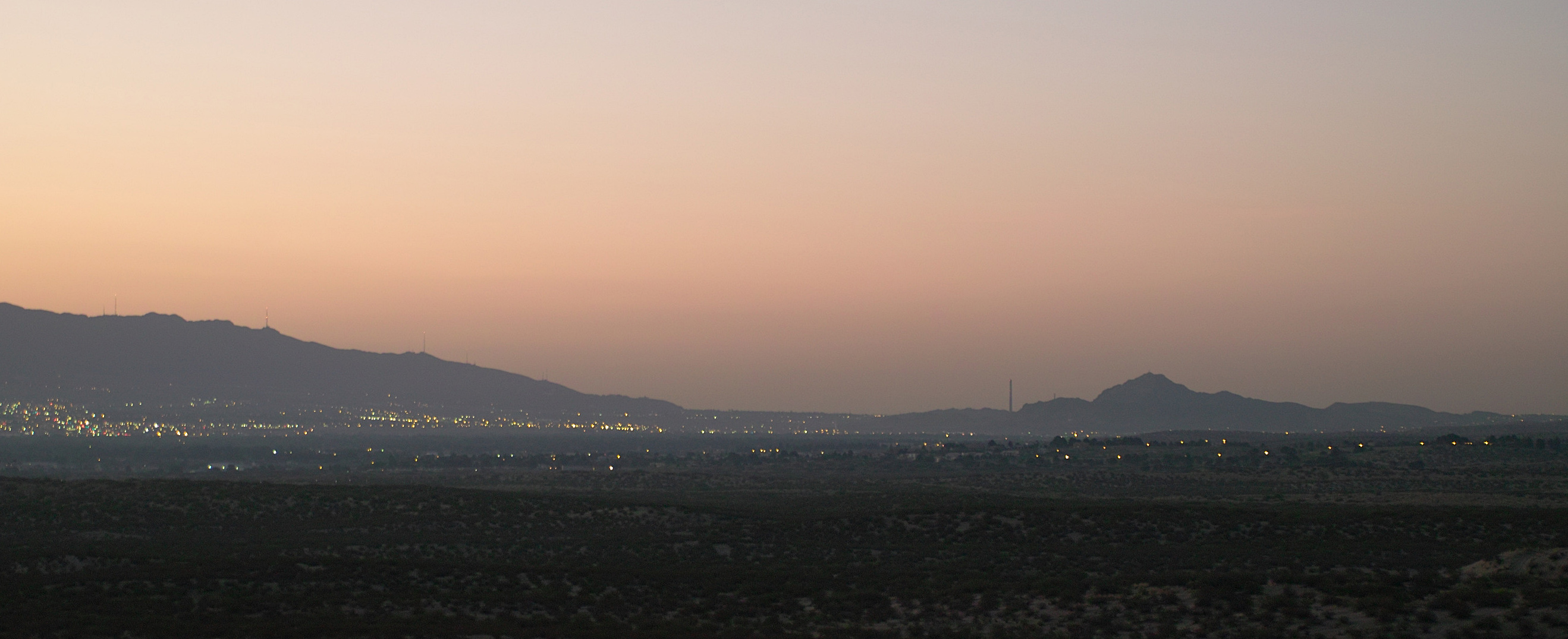
From the Air
El Paso sprawls across the Rio Grande valley at approximately 31.76N, 106.49W, elevation 3,740 feet MSL. The Franklin Mountains bisect the city north-to-south, with the distinctive 'Star on the Mountain' visible on the slopes above downtown. El Paso International Airport (KELP) sits on the east side. The Rio Grande traces a visible green ribbon through otherwise brown desert terrain, marking the international border with Ciudad Juarez, Mexico. Fort Bliss and Biggs Army Airfield lie northeast of downtown. Approach from the east for the best view of the mountain pass that gave the city its name.