Elands Bay Cave
The seals came in winter and spring, hauling themselves onto the rocks near the mouth of the Verlorenvlei estuary. The people who lived in the cave above knew this. They timed their presence accordingly, arriving when the seal pups were young and accessible, building fires against the cave walls, cracking mussel shells, and leaving behind the bones, tools, and ash that would accumulate for millennia. Elands Bay Cave, on the Atlantic coast of South Africa's Western Cape, is not the oldest archaeological site in the region, but it may be one of the most revealing -- a place where the relationship between people, animals, climate, and coastline can be read in layers of earth and bone.
Parkington's Excavations
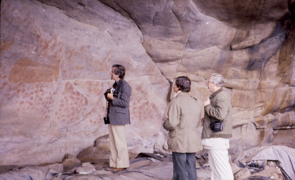
Archaeologist John Parkington began excavating Elands Bay Cave in the 1970s, and his work transformed understanding of Later Stone Age coastal communities in the Western Cape. Parkington's approach was comparative -- he systematically analyzed different types of evidence against each other, looking for patterns that would reveal how the cave's inhabitants lived and how their lives changed over time. The cave sits near the mouth of the Verlorenvlei estuary, where a river system meets the Atlantic. Its position gave its occupants access to both marine and terrestrial resources: seals and shellfish from the coast, game and plant foods from the interior. Rock paintings on the cave walls testify to the cultural richness of communities who lived here, not merely survived.
What the Seal Bones Tell
Seal mandibles recovered from the cave were compared to reference collections at the South Africa Museum and the Department of Sea Fisheries. In the upper layers, the evidence pointed clearly to seasonal hunting: seals were taken during winter and spring, suggesting that people planned their visits to coincide with the seals' presence. In the lower layers, no such seasonal pattern emerged, and the seals found were roughly two years old -- a different hunting strategy, or perhaps a different relationship with the coast entirely. Seal bones become abundant in the record after about 11,000 to 10,000 years before present, coinciding with changes in sea level and coastline position as the last ice age ended. The people adapted their subsistence strategies to a literal shifting of the ground -- or rather, the water -- beneath them.
Forty Cubic Meters of Shells
The Holocene layers of the cave contained approximately 40 cubic meters of shell middens -- enormous accumulations of mussel shells, ostrich eggshell fragments, and other marine shells that represent thousands of meals eaten over thousands of years. Beyond the organic remains, the cave yielded stone tools made primarily from quartz and silcrete, materials locally available. But other raw materials found at the site have no obvious local source. Researchers suspect these were brought from distant regions, carried in through trade networks or seasonal migration routes that connected the coast to the interior. The presence of high-quality stone from elsewhere speaks to a world of connection and exchange -- people who knew their landscape at both local and regional scales, who maintained relationships across distances we can only infer from the materials they left behind.
A Coast That Would Not Stay Still
The climate around Elands Bay has grown continuously drier since the Late Pleistocene, and the coastline has shifted dramatically with changes in sea level. The archaeological record in the cave captures these transformations. Charcoal analysis reveals changes in vegetation -- the plants that burned in the cave's fires reflect the forests and scrublands that grew nearby at different periods. Animal bones document shifts in the species available for hunting. Whether the cave was occupied year-round or seasonally remains debated. Some researchers point to the seal evidence as proof of planned seasonal visits; others note the diversity of faunal and artifact remains and argue for longer-term habitation. What is not debated is the sophistication of the people who lived here. They read their landscape with precision, adapting to changes in climate, sea level, and resource availability over millennia -- a record of human resilience written in bone, shell, and stone.
From the Air
Elands Bay Cave is at 32.32S, 18.32E, near the mouth of the Verlorenvlei estuary on the Atlantic coast of the Western Cape. From the air, Elands Bay is a small coastal settlement where the Verlorenvlei river system meets the ocean. The cave is located in rocky cliffs near the estuary mouth. The coastline here is rugged, with the cold Benguela Current visible as darker water offshore. Diepkloof Rock Shelter is approximately 17km inland along the Verlorenvlei River. Nearest airports: Cape Town International (FACT, ~200km S). The Verlorenvlei wetland system is a prominent landscape feature visible from altitude, stretching inland from the bay.