Eyre Highway
Between the Caiguna and Balladonia roadhouses in Western Australia, the asphalt runs 146.6 kilometers without a single curve. No bend, no deviation, no gentle arc to break the hypnotic geometry of a road aimed at the vanishing point. This is the 90-Mile Straight, the longest stretch of straight road in Australia, and it captures something essential about the Eyre Highway -- a 1,668-kilometer ribbon of pavement connecting Port Augusta in South Australia to Norseman in Western Australia that asks drivers to reckon, for hour after hour, with the sheer scale of the continent they live on.
A Road Born of Wartime Need
The highway takes its name from Edward John Eyre, who in 1841 became the first European to cross the Nullarbor by land -- a harrowing five-month ordeal through waterless country. A century later, in 1941, the road was carved across the same terrain as a wartime necessity, a rough track connecting east and west in case Japanese invasion severed the sea lanes. For decades it remained barely more than a graded dirt path. The last unsealed section was not paved until 1976, thirty-five years after its creation. An earlier route ran further north; Western Australians who traveled it still recall navigating by the old water tanks along the track, landmarks like Ivy Tanks that marked progress through otherwise featureless country.
Roadhouses and Dust
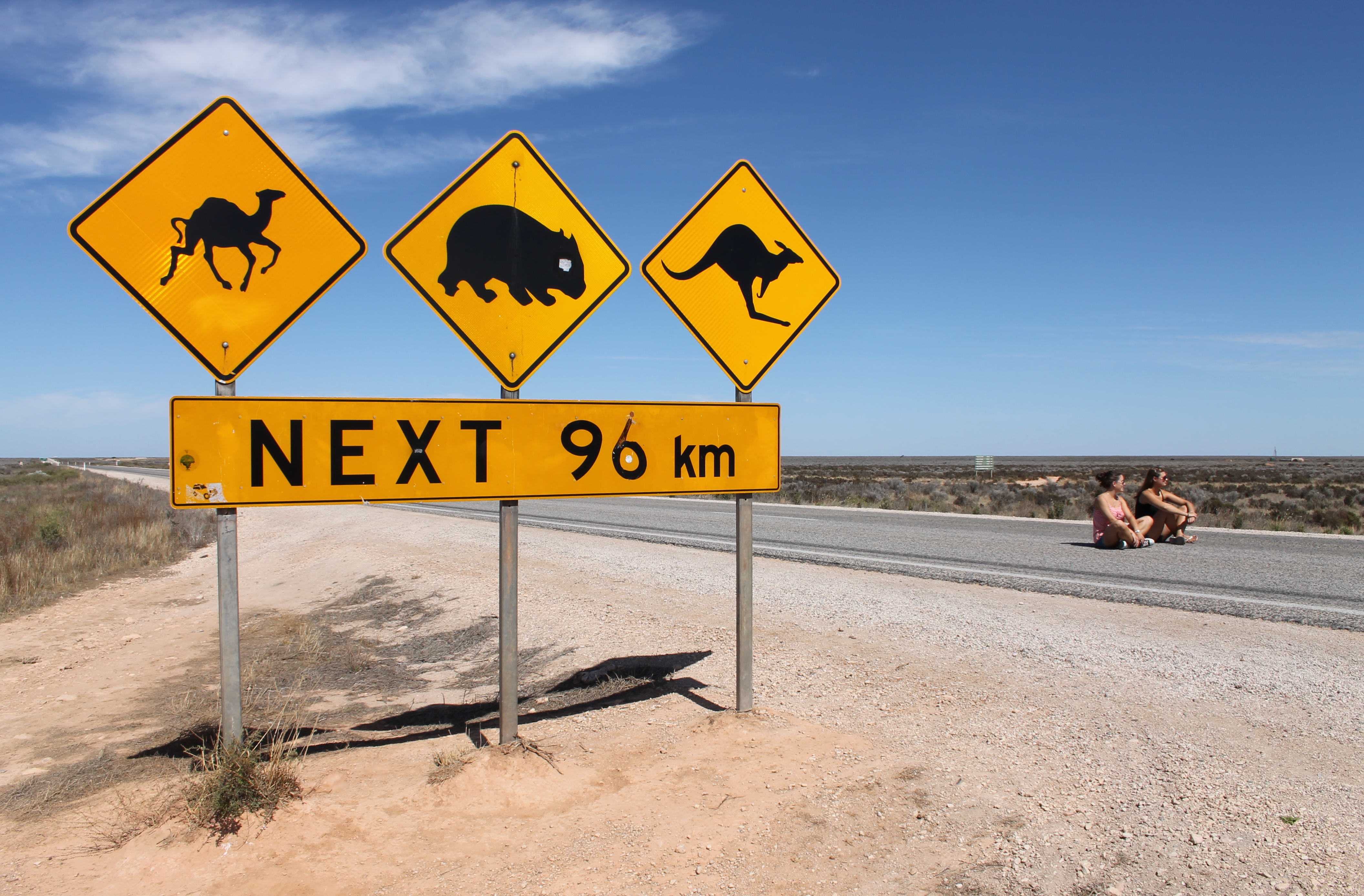
The rhythm of the Eyre Highway is set by its roadhouses, those peculiar Australian institutions that serve as fuel stop, pub, motel, caravan park, and garage all at once. They appear roughly every 100 kilometers, though the longest gap -- 190 kilometers between Balladonia and Norseman -- tests the fuel tank and the bladder alike. Border Village sits right at the state line. Eucla, 12 kilometers into Western Australia, perches near the coast beside a historic telegraph station half-buried in migrating sand dunes. On the South Australian side, small towns like Kimba, Wudinna, and Ceduna still carry hints of agriculture -- fencing, grain silos, the occasional monument. Kimba has the Big Galah. Poochera has the dinosaur ant, the most primitive surviving ant species on Earth. West of the border, the landscape strips away pretense. Most stopping places are, as one traveler put it, just plain dusty.
Detours into Emptiness
The side trips are where the Nullarbor reveals itself. A track from Nullarbor Roadhouse runs north-northwest to Cook, a settlement on the Trans-Australian Railway whose entire reason for existence is servicing the trains. Cook's population hovers in the single digits. Signs at the railway station capture the local humor: "If you're crook, come to Cook" reads one. "Our hospital needs your help. Get sick!" reads another. The track requires no four-wheel drive, but it does demand a compass and a topographic map -- there are almost no reference points. Stop halfway, climb onto the roof of your vehicle, and look around. The landscape is flat in every direction, seeming to consist, as visitors often remark, of only two dimensions. South of Cocklebiddy lies the Eyre Bird Observatory, housed in a restored telegraph station, where caves draw divers and fossil hunters into the limestone below.
The Edge of the Continent
Between Nullarbor Roadhouse and Border Village, the highway runs close enough to the Great Australian Bight that a series of lookouts offer views of where Australia simply ends. The Nullarbor Plain, flat as a tabletop for hundreds of kilometers in every direction, terminates in cliffs that plunge 70 meters straight into the Southern Ocean. Wind and wave have been carving these faces for millennia, and the effect from above is startling -- the continent looks as though something took a bite from its southern edge. These cliffs are genuinely dangerous; the limestone can crumble without warning, and warning signs exist for good reason. Beyond the cliff edge, whales can sometimes be spotted in the waters below between May and September, particularly near Ceduna, which has built a modest whale-watching industry around the annual migration of southern right whales.
A Different Kind of Time
The highway crosses not just geography but time itself. Towns east of Caiguna do not follow official Western Australian time. Instead, they observe what is unofficially known as Central Western Standard Time -- UTC+8:45, splitting the difference between Western and Central time zones. It is an ad hoc solution to an ad hoc situation, the kind of improvisation that emerges when a handful of people live in the space between jurisdictions. Mobile coverage is Telstra or nothing; Optus works only in the larger towns, and other carriers effectively do not exist. Venture off the main highway and even Telstra fails, leaving a satellite phone as the only option. The Eyre Highway does not pretend to be convenient. It asks for preparation, patience, and a willingness to sit with the fact that the next human settlement may be two hours away.
From the Air
Centered at approximately 31.57S, 130.16E. From cruising altitude, the Eyre Highway appears as a thin pale line crossing the southern fringe of the Nullarbor Plain, hugging the coastline where the Bunda Cliffs meet the Great Australian Bight. The 90-Mile Straight is visible as an unnervingly linear feature in the landscape. Small clusters at roadhouse sites are the only development visible for hundreds of kilometers. Nearest airports: Ceduna (YCDU), Forrest (YFRT), Kalgoorlie-Boulder (YPKG), Port Augusta (YPPD). Clear conditions prevail most of the year, though fog can roll in from the Bight along the coastal sections.