Färnebofjärden National Park
The name itself reveals the secret. Färnebofjärden means 'the fjärd of Färnebo,' and that village name translates to 'habitation next to the fjärd of horsetails.' A thousand years ago, someone looked at this wide expanse of the Dalälven River and saw not just water spreading between ridges, but the feathery plants that grew along its edges. This is a landscape written by ice and erased by water, where Sweden's second-longest river hits a plain ribbed by glacial eskers and explodes into 200 islands, countless bays, and a confusion of wetlands that has defied human ambition since the Stone Age.
Where Ice Wrote the Map
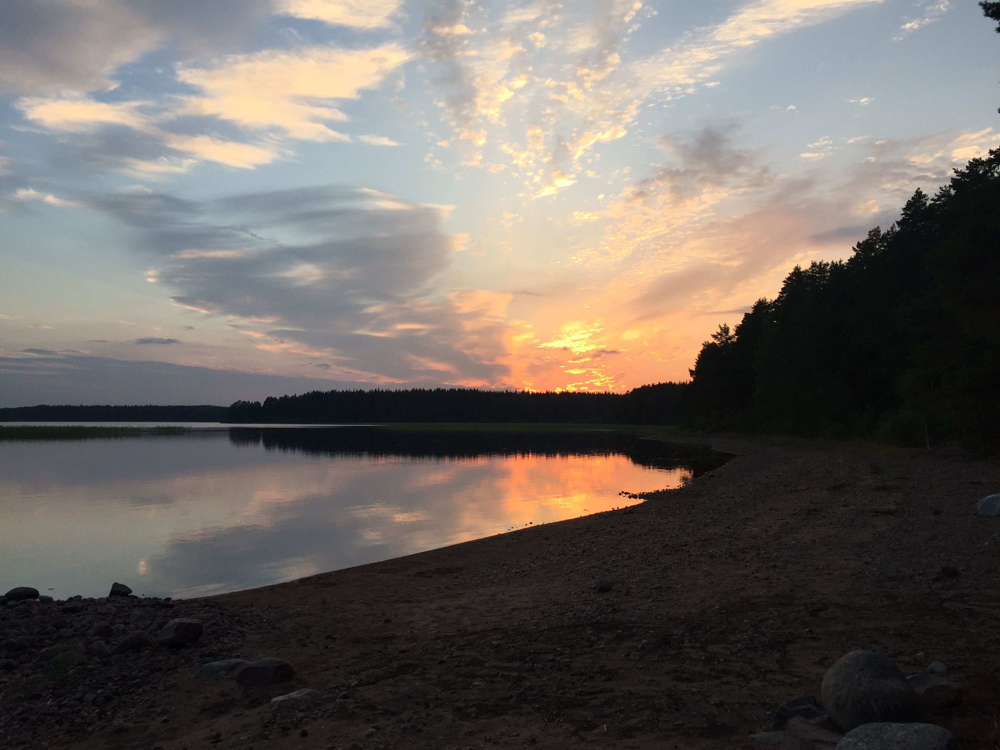
Ten thousand years ago, a retreating ice sheet dropped its load of rock and sediment across this region, creating the parallel ridges called eskers that still define the terrain. The Dalälven found itself rerouted onto a flat plain uniquely corrugated by these glacial leftovers. Instead of carving a single channel, the river spread into a succession of rapids and wide bays - the fjärdar that give this landscape its character. During spring floods, water still inundates dozens of square kilometers, transforming the park into a temporary inland sea. The bedrock beneath dates back even further: granite and gneiss formed between 1,750 and 2,500 million years ago during the creation of an ancient mountain chain called the Svecofennids. The glaciers merely rearranged what time had already built.
The Line Between Two Swedens
Färnebofjärden sits astride the Limes Norrlandicus, the invisible boundary that separates northern from southern Scandinavia. This is not merely a line on a map but an ecological frontier where different climates, soils, and species collide. The park contains nearly every forest type found in central Sweden: conifers, mixed woods, broadleaf stands, and ancient groves spared by loggers because the terrain made extraction impossible. Trees over 120 years old survive here. The forest floor shifts from blueberries and cloudberries on poor soils to lily of the valley and woodland strawberries where the earth runs richer. Eurasian lynx prowl regularly. Brown bears and gray wolves pass through. Since the 1980s, Eurasian beavers have returned to reshape the waterways their ancestors once engineered.
Kingdom of Woodpeckers
Birds rule Färnebofjärden. The old forests with their standing dead trees create ideal habitat for woodpeckers, and the park supports critical densities of multiple species. Owls hunt the same territory. But the story is not entirely triumphant: the white-backed woodpecker, a species that depends on ancient forest with abundant deadwood, declined from seven breeding pairs observed in 1976 to a single individual spotted in 2003. A new couple appeared in 2010, offering fragile hope. The waters teem with northern pike that sometimes grow enormous, European perch, zander, and grayling - this last species classified as endangered in Sweden. The noble crayfish, threatened worldwide, once flourished in the Dalälven but has nearly vanished, though catches still occasionally appear in the park.
The Forge That Shaped the Forest
Human presence has been discreet since Stone Age settlers clustered atop the eskers, but the development of iron mining transformed everything. Water-powered forges grew along the river, hungry for charcoal. The forests fed the furnaces. The most important forge was at Gysinge, founded in 1668 and situated directly beside what would become the park. In the 18th century, a full community rose around the forge: homes, mills, stables, a manor house, even a hotel. The forge closed at the beginning of the 20th century, but Gysinge today houses a timber-rafting museum that remembers how logs once floated down this river to feed Sweden's industrial appetite.
Saved from the Saw
In 1975, plans emerged to clear a vast forest along the Lower Dalälven. Ornithologist Stig Holmstedt responded by contacting the Swedish Nature Conservation Society, and a movement began that would take more than two decades to succeed. Scientists systematically inventoried the geomorphology, fauna, and flora of the region. The park finally opened in 1998 with a mandate to preserve a unique fluvial landscape and its surrounding wetlands in as intact a state as possible. Recognition piled up: Natura 2000 Network, Ramsar Convention list of protected wetlands, and in 2011, UNESCO designated the Lower Dalälven as a biosphere reserve. An observation tower at Skekarsbo offers panoramic views over the mosaic of water, islands, and forest that nearly became someone's timber supply.
From the Air
Located at 60.18°N, 16.77°E in central Sweden where four counties meet. The park appears from altitude as a braided pattern of river channels, islands, and wetlands with the Dalälven spreading across glacial ridges. The main entrance at Gysinge lies approximately 140 km north of Stockholm and 80 km from Uppsala. Nearest airports: Stockholm Arlanda (ESSA) approximately 130 km southeast; Dala Airport Borlänge (ESSD) approximately 100 km northwest. Best viewed at 2,000-4,000 feet AGL to appreciate the mosaic of 200 islands and the esker ridges crossing the floodplain. Spring floods dramatically expand the water coverage.