Falcon State
The dunes appear first. Flying northwest along the Venezuelan coast, the landscape shifts abruptly from scrubby lowlands to something that looks misplaced -- rolling white sand stretching toward the Caribbean, shimmering in heat that bends the light. These are the Medanos de Coro, 91,000 hectares of desert parkland that sit at the doorstep of the state capital like a geographical riddle. How did the Sahara wind up on the edge of the Caribbean? Falcon State has always been a place of contradictions: desert and sea, oil wealth and subsistence farming, revolutionary fervor and loyalist stubbornness. It is the only Venezuelan province that refused to join the independence movement in 1811, siding instead with the Spanish Crown, and yet it later became the birthplace of the Federal War that reshaped the entire nation.
Where Europe First Looked West
Juan de la Cosa and Amerigo Vespucci reached these shores in 1499, part of an expedition under Alonso de Ojeda. The stilt houses they saw along the coast famously reminded Vespucci of Venice -- or so the story goes -- giving the entire country its name: Venezuela, 'Little Venice.' Three decades later, in 1527, Juan Ampies founded Santa Ana de Coro, making it one of the earliest European settlements on the South American mainland. Coro served as Venezuela's first colonial capital and the seat of the first Catholic diocese on the continent. The city's colonial center, with its distinctive blend of Spanish mudwall and Dutch-influenced architecture, earned UNESCO World Heritage status in 1993. Walking its streets today, you move through layers of history compressed into a tight grid of earthen walls and ironwork balconies.
The Loyalist Rebel
Falcon's political history reads like a series of reversals. When Venezuela declared independence from Spain in 1811, Coro stayed loyal to the Crown, merging with the Province of Maracaibo under royalist control. It took a decade and the determination of Josefa Camejo, a Venezuelan independence fighter, to liberate the province in 1821 during the War of Independence. The region then folded into Gran Colombia before becoming its own province when Venezuela broke away in 1830. But the real transformation came in 1859, when the Federal War erupted in Coro itself on February 20th. The conflict, led by Juan Crisostomo Falcon, redrew Venezuela's political map. By 1864 the area had become a federal state, and in 1872 it was renamed in Falcon's honor -- the revolutionary who had turned a loyalist province into a symbol of radical change.
Sand, Coral, and Crude
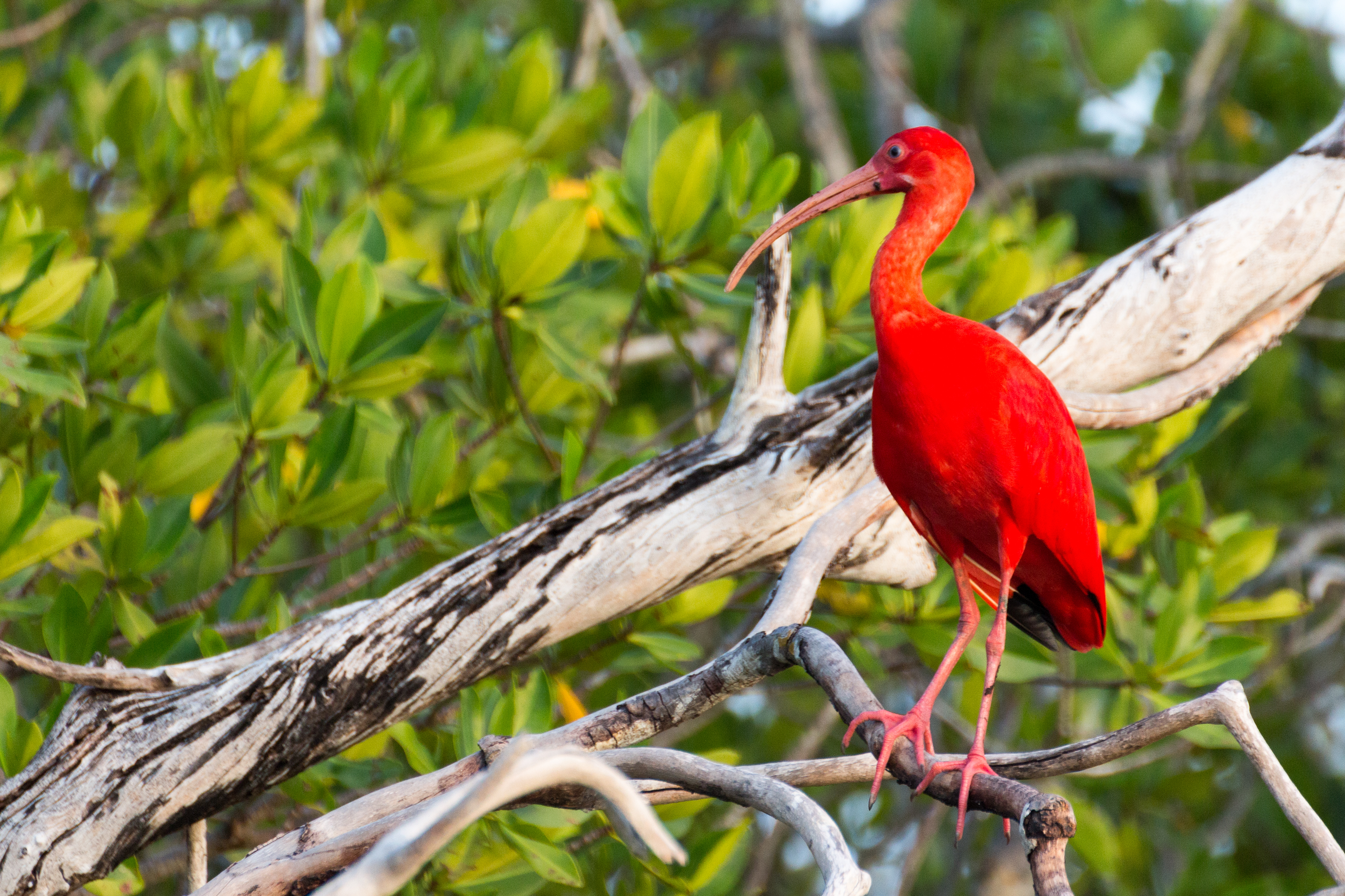
The geography alone justifies the flight. To the north, the Paraguana Peninsula juts into the Caribbean like a hammerhead, connected to the mainland by a narrow isthmus of sand. On its southwestern shore sits the Paraguana Refinery Complex at Punto Fijo, one of the largest oil refining installations in the world. Fly east along the coast and the landscape shifts to the turquoise keys and dense mangrove forests of Morrocoy National Park, 32,000 hectares of coral islets and white sand that draw divers and boaters from across the continent. Inland, the Sierra de San Luis rises from the coastal plain, harboring caves like the Cueva de la Quebrada del Toro, a national park in its own right. Between the mountains and the sea, the rivers run north -- the Tocuyo traveling 423 kilometers before emptying into the Caribbean, the Maticora winding toward the Gulf of Venezuela.
Goats, Coconuts, and the Caribbean Plate
Falcon is Venezuela's largest producer of coconut, copra, and goat products -- an agricultural profile that reflects its arid climate more than any tropical stereotype. The state's farmers work the river valleys and mountain slopes, growing corn, onions, coffee, and aloe alongside the coconut palms. Along the coast, fishing crews bring in tuna, mackerel, shrimp, and lobster. The craftspeople of the towns surrounding Coro specialize in furniture made from cardon cactus wood, finished with sisal fiber and goatskin -- materials drawn directly from the dry landscape. Hammock weaving carries its own regional tradition, with styles and techniques specific to Falconian villages. On the Paraguana Peninsula, artisans work clay into pottery that has been traded along these coasts for centuries.
A Capital That Remembers
Coro anchors it all. The city where the national flag was first raised at nearby La Vela de Coro, where the Jewish community from Curacao built a synagogue and cemetery that still stand, where the Cathedral Basilica Menor de Santa Ana watches over streets little changed since the colonial era. The Casa de las Cien Ventanas -- the House of a Hundred Windows -- and the Casa de las Ventanas de Hierro line the old quarter with their distinctive facades. Since 2005, Coro and its port have been on UNESCO's World Heritage in Danger list, heavy rains threatening the earthen architecture that defines the city. It is a place where preservation is a race against weather, where five centuries of history sit in walls made of mud and coral, beautiful and fragile. From the air on a clear day, you can see Curacao to the north and the dunes to the east, the city caught between sea and sand as it has always been.
From the Air
Located at 11.41N, 69.68W in northwestern Venezuela. Falcon State encompasses the distinctive Paraguana Peninsula (hammerhead-shaped landmass jutting into the Caribbean) and the Medanos de Coro sand dunes visible as bright white terrain near the capital. Key airports: Jose Leonardo Chirino Airport (SVJC) at Coro, Las Piedras / Josefa Camejo International Airport (SVPC) at Punto Fijo on the Paraguana Peninsula. Look for the refinery complex at Punto Fijo on the peninsula's southwest shore, the turquoise waters of Morrocoy National Park to the east, and the colonial grid of Coro's old quarter near the dunes. Curacao is visible to the north on clear days. Recommended viewing altitude: 5,000-10,000 feet AGL for the full state panorama; 2,000-3,000 feet for Coro's historic center and dunes.