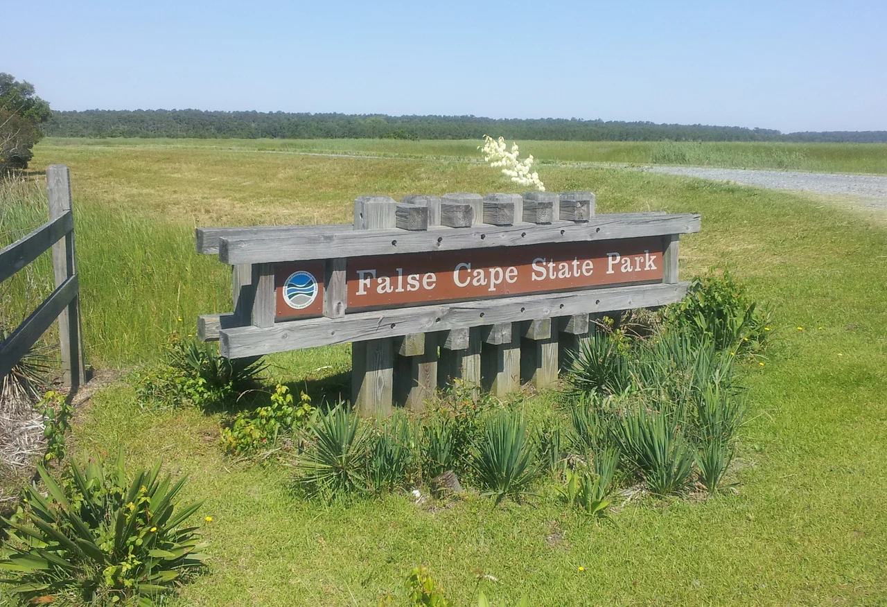

False Cape State Park
The name is a warning. False Cape - the cape that isn't. From a distance, the low shrubs and pale sand of this narrow peninsula look enough like Cape Henry, twenty miles north at the mouth of the Chesapeake Bay, that mariners blown off course would steer for it as if they were entering safe water. They were not. Sandbars shift below the surface here. The weather changes fast. Captains aiming for the Chesapeake or for Albemarle Sound to the south would discover their mistake the way you discover the bottom of a swimming pool with your face. The stretch of Atlantic coast that includes False Cape has a different, blunter name: the Graveyard of the Atlantic. The state park that now covers 4,321 acres of this peninsula exists in part because of all the ships that did not make it past.
The Graveyard's Edge
False Cape sits on the Currituck Banks Peninsula, a one-mile-wide spit of sand between the Atlantic Ocean and the brackish water of Back Bay (the northern end of Currituck Sound). It runs from the Back Bay National Wildlife Refuge in Virginia to the North Carolina border. There are no roads to the park. Access is on foot, by bicycle through the wildlife refuge from the north, or by boat. Recreational vehicles cannot reach it at all. This isolation is partly accidental and partly chosen: the refuge restricts vehicle traffic to protect migrating waterfowl, and the absence of roads is itself a form of preservation. At the south end of the park, a stone monument marked 'Va.' on one side and 'N Ca' on the other commemorates the 1728 boundary survey that William Byrd II led between the colonies. The marker bears the date 1728 but was probably set in 1887; the original 18th-century post was just cedar.
Wash Woods
In the 17th or 18th centuries, shipwreck survivors washed ashore on this peninsula and decided to stay. The community they built was called Wash Woods, and many of its houses and its Methodist church were framed in cypress wood that had drifted onto the beach from a schooner called the John S. Wood that broke up in an 1889 storm. Three hundred people lived there at the peak - fishermen, farmers, hunting guides, market hunters who supplied northern restaurants with waterfowl, and lifesavers who patrolled the beach and rowed open boats out into the surf when ships ran aground. The United States Life-Saving Service, founded in 1878, kept four stations between Cape Henry and Little Island at six-mile intervals. The lifesavers' lonely walking patrols along the dunes at night, looking for stranded vessels, were a kind of public service that mostly nobody else saw. Wash Woods was a town built by survivors and staffed by people whose job was to make sure others survived too.
The Day the Sea Took It Back
The Migratory Bird Treaty Act of 1918 outlawed market hunting and removed one of the village's economic legs. Townspeople had begun leaving by the 1920s. The end came on August 25, 1933, when a Category 4 hurricane tore up the coast, followed days later by an equally severe second hurricane. The storm surge from the back-to-back storms flooded everything. The Coast Guard Station took damage. The fertile topsoil from the farm fields washed into Back Bay. The small community around the Little Island lifesaving station was completely destroyed. Most of the remaining Wash Woods residents loaded what they could into boats and rowed across Back Bay to Knotts Island or to the Princess Anne County mainland. They left graves and church foundations and not much else. The steeple of the Methodist church stood through the 1970s before vandals knocked it down around 1980. The cemetery still sits among the cypress trunks. The Wash Woods Environmental Education Center is housed in a 1920s hunt clubhouse that survived the storms and the abandonment.
The Other Wrecks
The peninsula's earliest documented wreck happened in January 1738, when a ship from Plymouth carrying about 300 Protestant Swiss colonists ran aground. Accounts differ on whether 60 or 80 survived, but frozen bodies were recovered for miles along the coast and in the salt marshes near the Lynnhaven River in central Virginia Beach. Their leader, John Ochs, had corresponded with William Byrd II about settling his followers on Byrd's land near the Roanoke River, which Byrd had received as payment for the 1728 boundary survey. What became of Ochs is not recorded. In June 1942, in a much later and quieter incident, a German Type IX U-boat surfaced briefly off False Cape and landed two Abwehr agents. A canister of Chesapeake Bay charts was recovered. The agents vanished into wartime America. The incident remained classified into the 1990s. The Graveyard of the Atlantic keeps producing new entries.
Walking In
Today False Cape State Park is the kind of place that asks something of its visitors. The hike from the wildlife refuge parking to the visitor center is six miles. Primitive campsites are available but reserved months in advance for May through October. Certain tour buses can run in by special arrangement. Hiking and biking trails lead through maritime forests and along Atlantic beaches that look much as they did when the Wash Woods lifesavers walked them. The undeveloped portions of the park were dedicated as the False Cape Natural Area Preserve in 2002. In a heavily developed coast, this stretch stays quiet because the access is hard - exactly the way the residents who left after 1933 might have wanted it remembered.
From the Air
False Cape State Park sits at 36.59°N, 75.88°W on the Currituck Banks Peninsula between the Atlantic Ocean and Back Bay, just north of the North Carolina state line. From cruising altitude, look for the narrow strip of sandy peninsula extending south from Virginia Beach, the broad water of Back Bay/Currituck Sound to the west, and the open Atlantic to the east. Norfolk International Airport (KORF) lies about 25 nm to the northwest; First Flight Airport (KFFA) at Kitty Hawk is 30 nm south. Watch for restricted airspace over the wildlife refuge. Best viewing at 2,500-4,000 feet to see the dune lines and Wash Woods clearings.
Nearby Stories
- Naval Station Norfolk Chambers Field 4.1 km away
- Dismal Swamp Canal 13 km away
- Battle of the Chesapeake 21 km away
- Harvey Point Defense Testing Activity 32 km away
- Battle of Elizabeth City 36 km away
- SMS Ostfriesland 65 km away
- Steamship Pulaski Disaster 85 km away
- SS Monroe (1902) 107 km away