Father Hennepin State Park
The park is named for a man who was never here. Father Louis Hennepin, a Franciscan priest of the Recollet order, was dispatched from Fort Crevecoeur in Illinois to explore the upper Mississippi River in February 1680. That April, a Dakota war party captured Hennepin and his two companions and marched them to a village on the shores of Mille Lacs Lake. For months, the priest lived among the Mdewakanton Dakota, documenting everything he saw -- the lakes, the rivers, the rhythms of daily life in a place Europeans had never described. His captors released him in late July, negotiated free by Daniel Greysolon, Sieur du Lhut. Hennepin returned to France and published Description de la Louisiane in 1683, giving European readers their first written account of this region. The park on Mille Lacs' southeast corner carries his name not because he stood on its beaches, but because he was the first to put this landscape into words.
A Priest Among the Dakota
Hennepin's 1680 journey was part of the larger French effort to map and claim the interior of North America. Traveling with Michel Accault and Antoine Auguelle, he paddled north from Illinois into unmapped territory. The Dakota war party that intercepted them near present-day St. Paul transported the three captives on a grueling five-day march to their encampment at Mille Lacs. Hennepin was no passive prisoner. He observed and recorded the Dakota's agricultural practices, their social structures, and the geography of a lake system that would eventually define an entire state's identity. He named the great falls on the Mississippi for Saint Anthony of Padua -- today's Saint Anthony Falls in Minneapolis. He called the surrounding territory Louisiana in honor of King Louis XIV of France. His book became a European bestseller, shaping perceptions of the North American interior for decades.
Tax-Forfeited Land and Catholic Persistence
The park's creation story is less dramatic than Hennepin's but reveals its own kind of determination. Local advocates and Catholic groups pushed for a state park honoring the priest in the years leading up to World War II. The Minnesota Legislature resisted funding a new park, but when tax-forfeited land on Mille Lacs' southeast shore became available at minimal cost, opponents lost their leverage. Father Hennepin State Memorial Park was authorized in 1941 -- with a catch. A provision inserted into the bill barred any state funds from supporting the park for its first five years. County and local money stretched only so far, and the park remained largely undeveloped through the 1940s. It was not until 1953, when the Minnesota state park system introduced an entrance fee across all parks, that Father Hennepin finally received the funding stream it needed to build campgrounds, roads, and facilities.
Raptors, Reefs, and a Mile of Sand
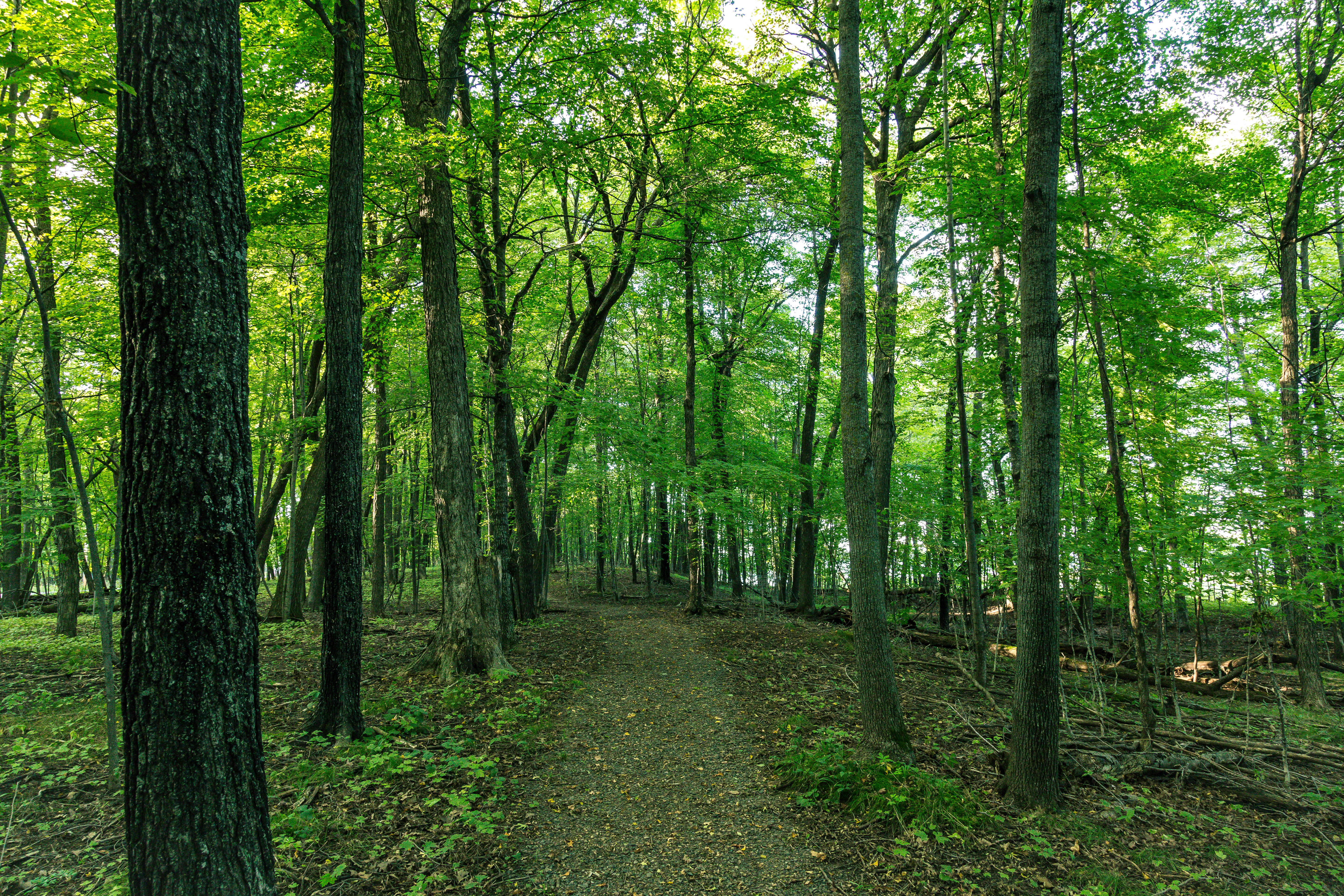
Today the park offers 103 campsites and a sandy beach stretching over a mile along Mille Lacs' shoreline. The water here is part of the same vast, shallow lake that covers 207 square miles -- warm enough for swimming in summer, frozen solid enough for ice fishing villages in winter. Hawks, ospreys, owls, and bald eagles patrol the skies as common raptors. Beaver, raccoon, mink, and deer leave tracks in soft earth along trails and stream banks. The lake itself delivers walleye, northern pike, bluegills, sunfish, and bass to anglers fishing from shore or boat. Aspen stands and small clearings provide habitat for ruffed grouse, while maple and oak groves shelter squirrels and chipmunks. The small ponds and streams threading through the park support amphibians and insects that feed the larger food web, connecting the park's terrestrial habitats to the enormous lake at its doorstep.
Where the Story Loops Back
Father Hennepin State Park sits at a geographic intersection that makes its namesake's story feel almost circular. The Rum River, which drains Mille Lacs Lake southward to the Mississippi at Anoka, was the same waterway the Dakota used to bring Hennepin to the lake in 1680 -- though they traveled overland for the final stretch. Mille Lacs Kathio State Park, on the lake's southwestern shore, protects archaeological sites from some of the earliest known human settlements in Minnesota. Between the two parks, the lake itself remains the constant: an enormous, wind-swept body of water that has anchored human life for thousands of years. Hennepin's account was just one chapter. The Dakota and Ojibwe lived their chapters across centuries before and after him. The park bearing his name preserves not just a stretch of lakeshore, but a point of entry into a layered history that stretches far deeper than any single European expedition.
From the Air
Located at 46.14N, 93.49W on the southeast shore of Mille Lacs Lake in central Minnesota. The park occupies a wooded peninsula jutting into the lake, with its mile-long sandy beach visible as a light-colored arc against the darker forested shoreline. Mille Lacs Lake itself is an enormous, roughly circular body of water easily identifiable from altitude. Nearby airports include Mille Lacs Lake Airport (7MN4) on the lake's western shore near Garrison and Milaca Municipal Airport (18Y) to the south. St. Cloud Regional Airport (KSTC) lies approximately 40 miles southwest. The park is best spotted by following the southeastern shoreline of the lake at 3,000-6,000 feet, where the beach and campground clearings stand out against surrounding forest.