Florida Caverns State Park
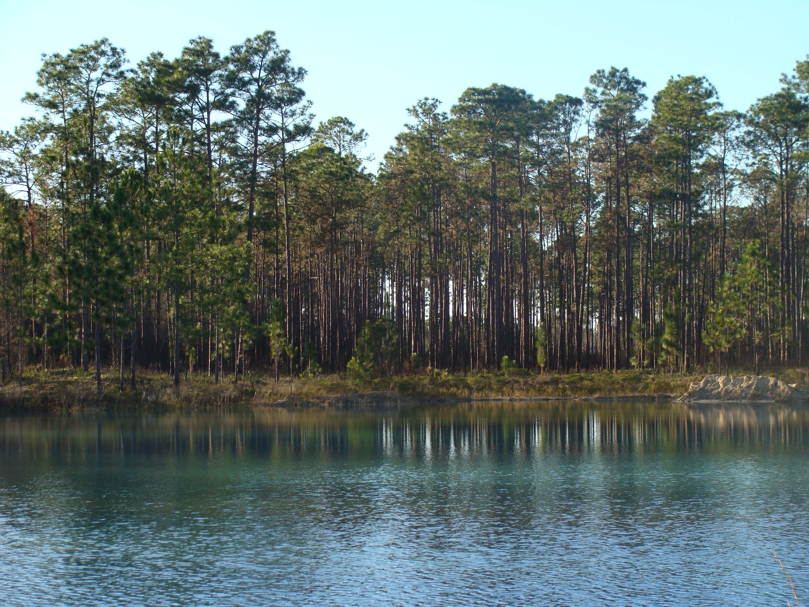
Florida is supposed to be flat. Every travel guide, every flyover, every satellite image confirms it: a peninsula of sand, swamp, and sea-level monotony. So the caves at Florida Caverns State Park arrive as a genuine surprise. Tucked into the Panhandle near the small city of Marianna, this park holds the only air-filled caves accessible to the public in the entire Florida state park system. Below the pine flatwoods and hardwood hammocks, limestone dissolves into chambers hung with stalactites, built up with stalagmites, and draped in flowstone curtains that took tens of thousands of years to form, drip by patient drip.
A Landscape Carved by Water
The geology here is karst - a terrain where slightly acidic groundwater dissolves the underlying limestone, hollowing out sinkholes, springs, and cave systems over millennia. The Chipola River runs through the park, and at several points it vanishes entirely underground before resurfacing downstream. Blue Hole Spring, one of the park's most striking features, wells up with startling clarity from the limestone aquifer. The bedrock itself tells a story of ancient seas: the limestone was laid down when this part of the Florida Panhandle lay beneath a warm, shallow ocean. What visitors walk through today is the skeleton of that ocean floor, sculpted by rain and river into something otherworldly.
Underground Architecture
Rangers lead guided tours through the cave system daily, pointing out formations that bear names based on their shapes - columns where stalactites and stalagmites have joined after millennia of growth, rimstone dams that hold tiny pools of mineral water, and delicate soda straws that dangle from the ceiling like glass tubes. The caves maintain a constant temperature year-round, a cool contrast to the humid Panhandle summers above. Flowstone cascades across the walls in frozen waterfalls of amber and cream-colored calcite. The darkness beyond the tour lights is absolute, and the silence is broken only by the faint drip of water still at work, adding imperceptible layers to formations that predate human civilization by orders of magnitude.
Creatures of the Dark
The cave ecosystem shelters species that have evolved for life in permanent darkness. Blind crayfish navigate the underground waterways without pigment or functioning eyes, relying entirely on chemical and tactile senses. Several species of bats roost in the deeper chambers. Salamanders slip through the damp crevices where the surface world and the underworld meet. Above ground, the karst topography creates a mosaic of habitats - hardwood hammocks on the bluffs, floodplain forests along the river, and upland pine stands on the ridges - each supporting a distinct community of plants and animals. Native Americans inhabited this landscape for thousands of years, drawn by the same springs and sheltered hollows, and their presence has left behind archaeological sites that add a human dimension to the park's deep geological time.
Depression-Era Rescue
The park was established in 1942, but its development traces back to the Civilian Conservation Corps crews of the 1930s who built trails, improved the cave entrances, and constructed many of the stone and timber structures that still serve visitors today. The CCC work at Florida Caverns was part of a broader New Deal effort to preserve natural landmarks while putting young men to work during the Great Depression. The visitor center, with its interpretive exhibits, carries forward that mission of public access and education. A 9-hole golf course, campgrounds, hiking trails, horseback riding paths, and boating access on the Chipola River round out the park's offerings - a full outdoor recreation portfolio stacked on top of one of the most geologically unusual sites in the southeastern United States.
From the Air
Located at 30.814N, 85.233W in the Florida Panhandle, approximately 5 miles north of Marianna. The Chipola River corridor and surrounding forested karst terrain are visible from low altitude. Look for the dense canopy cover and the winding river course. Nearest airports: Marianna Municipal (KJKA) approximately 5nm south, and Northwest Florida Beaches International (KECP) approximately 50nm southeast at Panama City. The terrain is gently rolling by Florida standards, with subtle sinkholes and spring pools visible from lower altitudes. Best viewed at 1,500-3,000 feet AGL in clear conditions.