Fort Apache Historic Park
The Apache word for this place is Tl'oghagai. The English name -- Fort Apache -- tells a different story, one of soldiers and control. But walk the grounds of Fort Apache Historic Park today and you encounter something neither name fully captures: a landscape where 27 historic buildings chronicle three distinct chapters of American history, each more complicated than the last. First a military outpost built to subdue the Apache. Then a boarding school designed to strip Native children of their culture. Now a tribal park where the White Mountain Apache have taken ownership of the very structures that once represented their subjugation. Few places in the American Southwest hold this many layers of difficult history in such a compact space.
Camp Ord to Fort Apache
The story begins in 1870, when the U.S. Army established a temporary military camp at the end of a road built into Apacheria -- Apache country. The camp's purpose was blunt: control the Coyotero Apaches. It cycled through names like discarded uniforms -- Camp Ord, Camp Mogollon, Camp Thomas, Camp Apache -- before becoming a permanent facility in 1873 and receiving its final name, Fort Apache, in 1879. The fort played a crucial role in the Indian Wars of the late 19th century, first as a check on Apache control of the region, and later, in an ironic twist, as a recruitment point where Apache scouts were enlisted to fight other tribes. Buffalo Soldiers -- African-American troops -- were also stationed here. From those early years, a handful of structures survive: a log cabin that served as the first commandant's quarters (known as General Crook's Cabin, built in 1871), a guardhouse, and an adjutant's office.
The School That Tried to Erase
When the fort's military purpose expired in 1923, the Bureau of Indian Affairs took over the property and established the Theodore Roosevelt School. The school's mission was assimilation through separation. Although it sat on Apache tribal land, the boarding school was primarily intended to educate Navajo youth by removing them from their reservation and encouraging the adoption of non-Native customs. This practice of cultural displacement was widely resented by the tribes. During the boarding school era, new buildings rose on the old fort grounds -- a cafeteria in 1948, dormitories for boys and girls in the early 1930s, a BIA clubhouse in 1930. The physical expansion of the school overlaid itself on the military landscape, creating the architectural palimpsest visible today. A tribal school bearing the same name continues to operate in some of these buildings.
Reclaiming the Ground
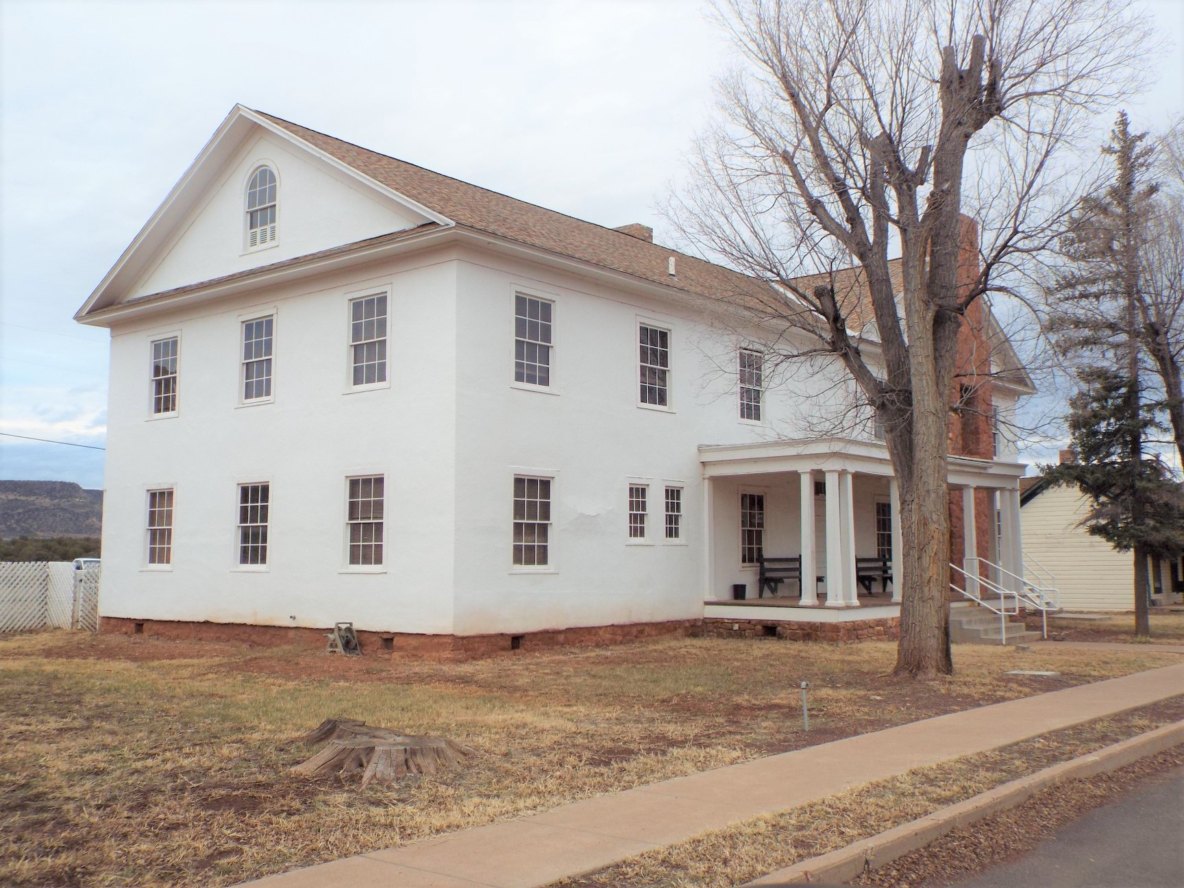
The White Mountain Apache did not demolish the buildings that symbolized their subjugation. Instead, they repurposed them. The park now encompasses the former fort and school grounds, a nearby military cemetery, and the Fort Apache and Theodore Roosevelt School National Historic Landmark district. At the western end of the park stands the White Mountain Apache Cultural Center -- Nohwike' Bagowa, or House of Our Footprints -- a name that stakes a quiet but firm claim. The tribe has repurposed a significant number of the surviving buildings to new functions, transforming instruments of control into tools of cultural preservation. The barracks ruins from the 1880s stand alongside the 1892 Commanding Officer's Quarters and the 1891 Captain's Quarters, each structure a chapter marker in a story the Apache now tell on their own terms.
Reading the Landscape
From above, the park's layout reveals its military origins -- the parade ground at the center, buildings arranged in orderly rows, the geometry of command and control still legible after 150 years. The site sits in the southern part of the Fort Apache Indian Reservation, just south of the reservation capital at Whiteriver along Arizona State Route 73. The 27 historic buildings span from the 1871 log cabin to mid-20th century school structures, each era leaving its architectural signature. It is a place where you can read American history in the walls themselves: rough-hewn logs from the frontier era, stone barracks from the Indian Wars, institutional brick from the boarding school years. The White Mountain Apache have ensured that all of these stories are told -- not just the ones carved into cornerstones by the U.S. government.
From the Air
Fort Apache Historic Park is located at 33.790N, 109.989W on the Fort Apache Indian Reservation, just south of Whiteriver, Arizona, along State Route 73. The park's 27 historic buildings and parade ground are visible from moderate altitude. Recommended viewing at 2,000-4,000 feet AGL. The nearest airport is Whiteriver (KWHR/E24), immediately adjacent to the site. Terrain is mountainous with pine forests. The orderly military layout of the fort is clearly visible from the air, with the parade ground forming a distinctive open rectangle surrounded by historic structures. The White Mountain Apache Cultural Center sits at the park's western end.