Fort Bowie
A barefoot lieutenant saved the day. In the chaos of the Battle of Apache Pass on July 15, 1862, Lt. Lucas scrambled from his tent and set up his machine guns without stopping to find his boots, pouring devastating fire into the attacking Chiricahua Apache warriors. That desperate morning in the Chiricahua Mountains marked the beginning of Fort Bowie's story, a 32-year saga of conflict, endurance, and ultimately, the forced removal of an entire people from their ancestral homeland. The adobe ruins that remain today, slowly dissolving back into the desert soil, stand as silent witnesses to one of the longest and most bitter chapters in the American Indian Wars.
The Water That Started a War
Apache Spring determined everything. In the parched landscape of southeastern Arizona, where summer temperatures soar and water can mean the difference between life and death, this reliable spring in Apache Pass made the location strategically vital. The Chiricahua Apache had used this water source for generations, and when the Butterfield Overland Mail began running stagecoaches through the pass in 1858, an uneasy coexistence developed. That fragile peace shattered in January 1861 with the Bascom Affair, when Lieutenant George Bascom wrongly accused the great Apache leader Cochise of a raid he did not commit. Cochise escaped Bascom's trap by slashing through the back of a tent, but the incident ignited years of bloody warfare. The spring that had nourished travelers and Apache alike now became a point of deadly contention.
Soldiers from California
The first Fort Bowie was barely a fort at all. When the California Column arrived in July 1862, marching east to confront Confederate forces in New Mexico, they found themselves ambushed by Cochise's warriors at Apache Pass. The Battle of Apache Pass forced Union commanders to recognize that controlling this water source was essential. California Volunteers under Colonel George Washington Bowie threw up hasty earthworks and canvas tents, creating what resembled a rough camp more than a military installation. For six years, soldiers lived in these primitive conditions, enduring scorching summers, bitter winters, and constant threat of Apache attack. The fort was named for the colonel who established it, though Bowie himself moved on, leaving his name embedded in the Arizona landscape.
Adobe and Iron Will
By 1868, the Army recognized that Apache Pass required a permanent presence. A second, more substantial Fort Bowie rose on a plateau a quarter mile east of the original site. Adobe barracks replaced canvas tents. A hospital treated wounded soldiers and the inevitable victims of frontier illness. Trading posts supplied both military personnel and the small community that grew around the installation. At its peak in 1870, the census recorded 400 residents in the settlement then called Apache Pass, making it the fourth largest community in Arizona Territory. For the next eighteen years, Fort Bowie served as the nerve center for military operations against the Chiricahua, a grinding campaign of pursuit through mountain ranges and desert valleys that seemed without end.
Geronimo's Last Stand
The name that echoes loudest through Fort Bowie's history is Geronimo. The Chiricahua warrior and medicine man led the last major resistance against American expansion, breaking out of reservations multiple times and leading small bands of fighters through terrain they knew intimately. From Fort Bowie, expedition after expedition departed to track him down. The final chapter came in 1886, when Geronimo surrendered for the last time. The consequences were devastating for the Chiricahua people, those who had fought and those who had not. The entire tribe was loaded onto trains and exiled to Florida and Alabama, stripped from the mountain homeland they had defended for a generation. Two years later, the Apache Wars were officially over. Fort Bowie's purpose had been fulfilled.
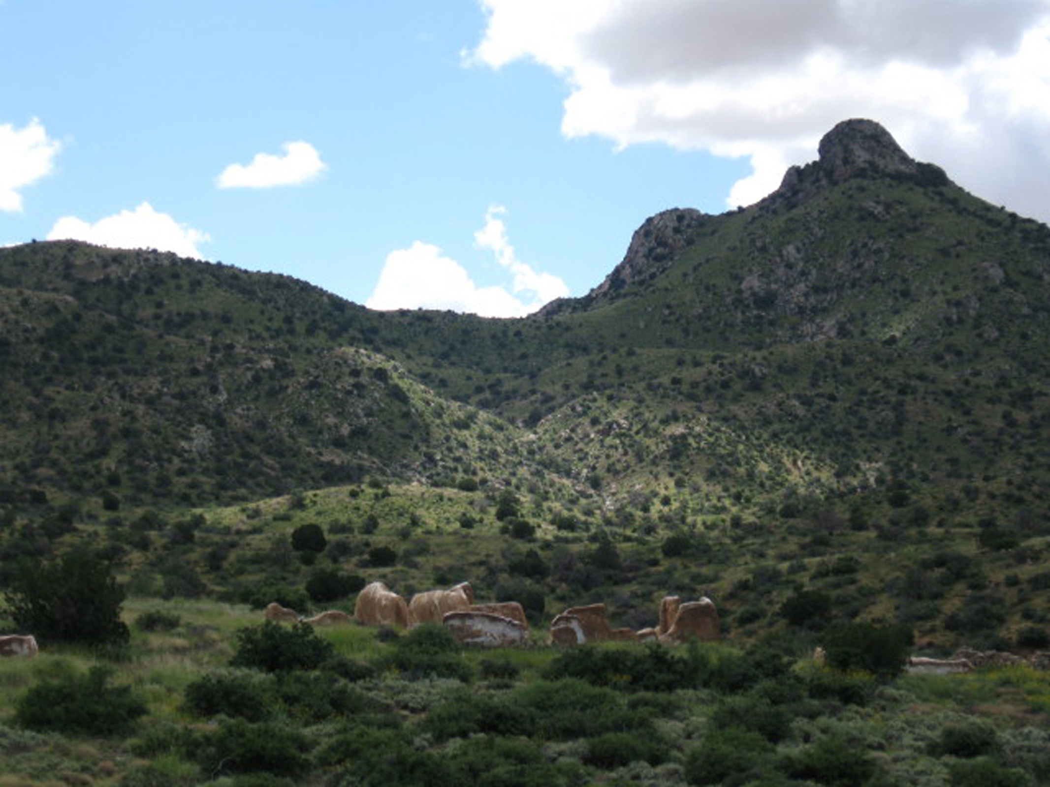
Ruins in the Desert Sun
The Army abandoned Fort Bowie in 1894, and the desert began its slow reclamation. Today, reaching the ruins requires a 1.5-mile hike through the same landscape where soldiers once marched and Apache warriors once watched from hidden positions. The trail passes Apache Spring, still flowing as it has for millennia, and the remains of the Butterfield Stage Station. The adobe walls of barracks and officer's quarters stand partially preserved, their mud bricks gradually returning to earth. In the post cemetery lies Medal of Honor recipient Orizoba Spence, one of the soldiers who fought in these hills. The National Historic Landmark designation in 1960 ensures that what remains will endure, a physical memory of the complex and tragic history written in this remote corner of Arizona.
From the Air
Fort Bowie National Historic Site sits at 32.146°N, 109.436°W in southeastern Arizona's Chiricahua Mountains at approximately 5,000 feet elevation. The ruins are visible as light-colored structures against the desert terrain. Apache Pass Road provides ground access. Nearby airports include Willcox Cochise County Airport (P33) 20nm northwest and Douglas Municipal Airport (KDUG) 45nm southeast. Chiricahua National Monument is visible 8nm to the southeast. Best viewed in morning light when shadows define the ruins against the landscape.