Fort Chambly
Three times they built a fort on this spot. The first was wood, raised in 1665 by Captain Jacques de Chambly at the foot of churning rapids, where the Richelieu River narrows and the canoes had to stop. The second burned. The third, finished in stone by 1711, still stands -- a pale grey rectangle against the dark water, its walls scarred by centuries of conflict between empires that no longer exist. Fort Chambly was never the mightiest fortress in New France, but it occupied the most dangerous ground: the point where invaders from the south would inevitably arrive.
The River Road to War
The Richelieu River was the highway that connected the St. Lawrence to Lake Champlain and, from there, to the Hudson Valley and the Atlantic colonies. Any army marching on Montreal or Quebec City would almost certainly come this way. The Iroquois knew it. The French knew it. And so in 1665, the colonial government ordered a chain of five forts built along the Richelieu, stretching south from the St. Lawrence into contested territory. Fort Saint-Louis -- later renamed Fort Chambly -- anchored the chain at the rapids, the natural chokepoint where portaging slowed any advance. The region became known as la Vallee-des-Forts, and for a century it was the front line of a continental struggle.
From Palisade to Stone
The original wooden fort served its purpose against Iroquois raids, but European warfare demanded something sturdier. After the palisade burned in 1702, it was rebuilt the same year -- still in wood. Then the War of the Spanish Succession spilled across the Atlantic, and Governor Philippe de Rigaud Vaudreuil recognized that musket-proof walls would not stop cannonballs. In 1709, he ordered the fort rebuilt in stone. Engineer Josue Dubois Berthelot de Beaucours designed the new structure, a classic rectangular fortification with bastions, and oversaw further improvements between 1718 and 1720. The stone walls that visitors see today date from this final phase -- over three hundred years old and still solid against the Richelieu's current.
The Fort That Kept Changing Flags
Fort Chambly's story reads like a ledger of shifting allegiances. As the main link in the Richelieu defense chain, it was indispensable to New France -- until Fort Saint-Frederic rose further south in 1731 and Fort Saint-Jean followed in 1748, pushing the defensive perimeter deeper into the wilderness. Chambly became a warehouse and staging ground, a rear-echelon post. Then the Seven Years' War erased those forward forts. Re-fortified and reoccupied, Chambly could not stop the British advance, and in August 1760 the garrison surrendered during the Montreal Campaign. Fifteen years later, American revolutionary forces captured the fort on October 20, 1775, during their invasion of Canada. They held it through a bitter winter before retreating south to Fort Ticonderoga in the spring of 1776, burning what they could on the way out. The British then used Chambly as a prisoner-of-war camp, holding Continental Army soldiers -- including Colonel William Stacy -- until the war's end.
Ruin and Resurrection
After the Fenian Raids of the 1860s brought one last burst of military activity, the fort was abandoned to weather and neglect. Walls crumbled. Trees grew through the parade ground. The story might have ended there, but in 1881 a local citizen named Joseph-Octave Dion took it upon himself to repair and restore the site, brick by brick, with his own hands and his own money. His one-man preservation effort eventually caught the attention of the Canadian government, which assumed maintenance in the 20th century. Between 1965 and 1985, extensive archaeological excavations uncovered artifacts spanning the fort's entire history. Today, Parks Canada maintains a fully reconstructed version of the 1718-1720 fortification as the Fort Chambly National Historic Site, and Canada Post honored it with a stamp in 1985 as part of its Forts Across Canada series.
Sentinel on the Rapids
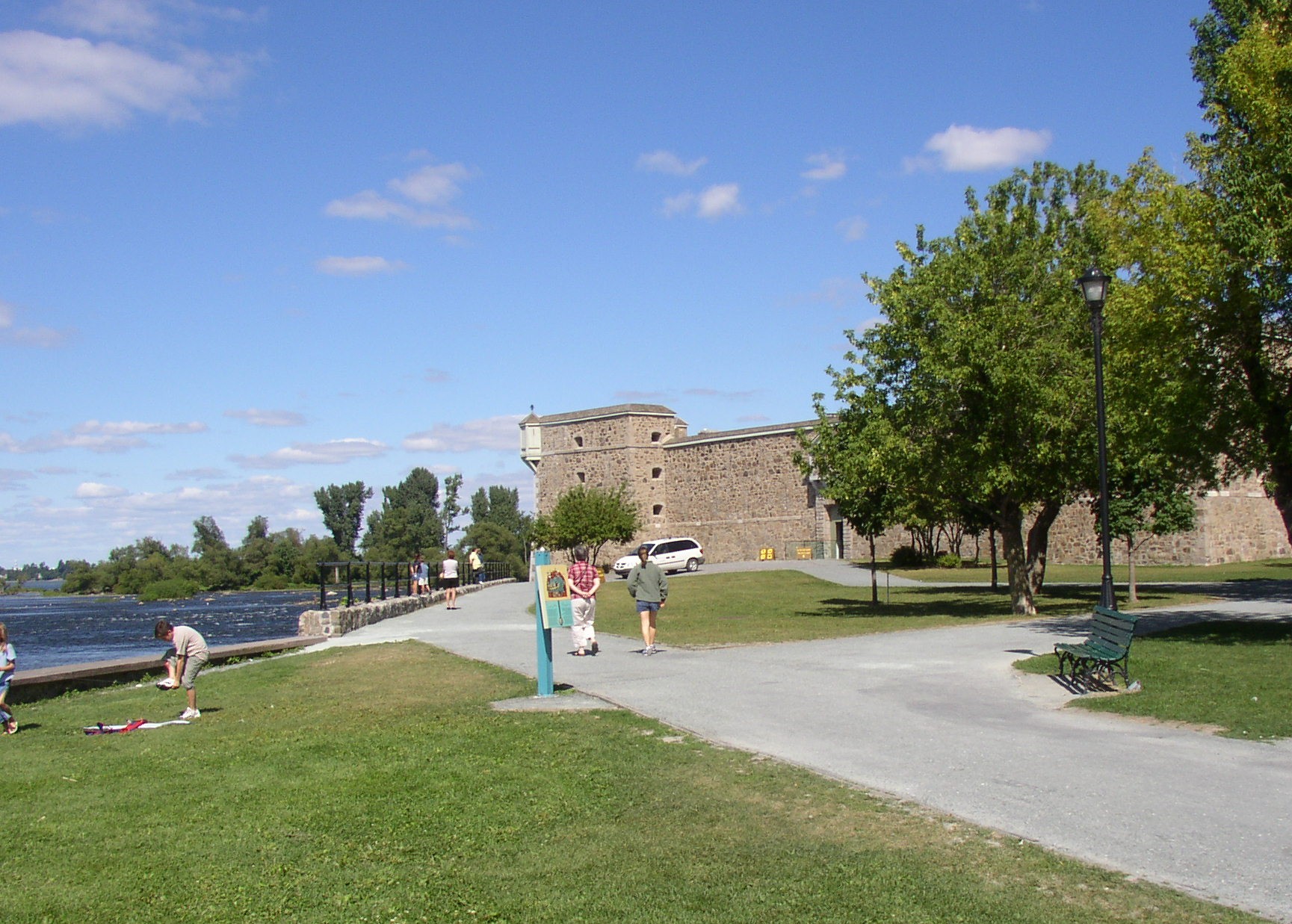
From above, Fort Chambly is unmistakable: a compact stone quadrangle perched on the west bank of the Richelieu, just downstream of the white-water rapids that gave the site its strategic value. Cannons still line the river wall. The surrounding parkland follows the old defensive perimeter, and the rapids themselves remain as wild as they were when Jacques de Chambly first heard them from his canoe in 1665. The fort sits roughly 30 kilometers southeast of Montreal, in the town of Chambly, Quebec -- a place that grew up around the garrison and never quite forgot that it began as a military outpost on the most contested river in North America.
From the Air
Fort Chambly sits at 45.449N, 73.277W on the west bank of the Richelieu River, just south of the Chambly Rapids. The stone fortification is a compact rectangle visible from low altitude, surrounded by green parkland contrasting with the town of Chambly. Look for the white water of the rapids immediately upstream. The Richelieu River runs north-south, connecting the St. Lawrence to Lake Champlain. Nearest airports: Montreal/Saint-Hubert (CYHU) approximately 15nm northwest, Montreal/Trudeau (CYUL) approximately 25nm west. Recommended viewing altitude: 2,000-3,000 feet AGL.