Fort Clatsop
They put it to a vote. In late November 1805, with the Pacific Ocean finally in sight and winter closing in, Lewis and Clark did something remarkable for their era: they let everyone decide where to make camp. Everyone -- including Sacagawea, a young Shoshone woman, and York, an enslaved Black man whose voice counted equally in this single democratic act at the edge of the continent. The group chose to follow the advice of the local Clatsop people and cross to the southern shore of the Columbia River. Three weeks later, they had a fort. On Christmas Day, they gave it a name. Fort Clatsop would shelter the Corps of Discovery through the wettest, most tedious winter of the most consequential American expedition ever undertaken.
Three Weeks in the Rain
Lewis scouted the site himself, taking five men south while Clark waited with the main party, growing increasingly anxious as days passed without word. When Lewis finally returned, he reported finding an adequate location -- not ideal, but good enough. On December 7, 1805, the Corps of Discovery moved to the spot. The men split into groups immediately. Clark led a party to the coast to find a way to make salt, essential for preserving meat on the return journey. The rest divided between hunting and construction. Building was miserable work. Rain fell without relent, wind tore at everything, and the massive coastal timber resisted every axe stroke. By December 23, the structure still lacked a roof, but people moved in anyway. Christmas Eve saw the entire party sheltered, if not exactly comfortable, within the walls of what they christened Fort Clatsop the following morning.
The Long, Wet Wait
The winter of 1805-1806 at Fort Clatsop was an exercise in endurance. The men were sick -- respiratory illness and other ailments plagued the camp. Rain fell on all but twelve of the 106 days they spent there. Elk meat, their primary food source, spoiled rapidly in the damp air, though the hides proved useful for making clothing and moccasins to replace what the long westward journey had destroyed. Lewis, recognizing the expedition's scientific obligations, spent much of his time writing. He documented wildlife, terrain, and native peoples with extraordinary detail, producing maps and notes that would prove invaluable to future settlers. The journals written at Fort Clatsop represent some of the most important geographic and natural history records of the early American West.
Neighbors and Tensions
The fort's name honored the Clatsop people who had recommended the site and traded with the expedition throughout the winter. But the relationship was complicated. Lewis and Clark grew to view the Clatsop as untrustworthy, suspecting them of theft -- a judgment shaped as much by cultural misunderstanding as by actual grievance. The Clatsop, for their part, had lived along the Columbia for generations and understood the region's resources far better than the newcomers who struggled to find elk in country the Clatsop knew intimately. After Lewis and Clark departed in March 1806, the Clatsop put the abandoned fort to practical use, stripping some wood for other purposes while using the structure for shelter and security. The fort the Americans left behind served its Indigenous neighbors longer than it had served its builders.
Departure and Decay
Everyone was desperate to leave. The original departure date of April 1 was moved up to March 20, but bad weather delayed them two more days. On March 23, 1806, the Corps of Discovery headed east, leaving Fort Clatsop without a backward glance. They had no plans to return. The Oregon climate made sure there would be nothing to return to: the original fort had rotted completely by the mid-19th century. The location near the Columbia and the Pacific, however, proved strategic. Fur trading companies -- including John Jacob Astor's American Fur Company and the Hudson's Bay Company -- built operations in the region within years of the expedition's departure, transforming the quiet spot where Lewis wrote his journals into a hub of Pacific Northwest commerce.
Twice Rebuilt, Never Found
No trace of the original Fort Clatsop has ever been located. The 1955 reconstruction, built for the sesquicentennial from sketches in William Clark's journals, stood for exactly fifty years before fire destroyed it on the evening of October 3, 2005 -- just weeks before the fort's bicentennial. A 911 operator, mistaking the blaze for fog over the nearby Lewis and Clark River, delayed firefighters by roughly fifteen minutes. Investigators found no evidence of arson; the fire likely started from an open hearth that had burned earlier that day. About 700 volunteers built a new replica in 2006, this time incorporating architectural details unavailable to the 1955 builders and adding a fire detection system. The loss, paradoxically, advanced knowledge of the site: excavations impossible while the replica stood renewed archaeological interest in finding the original fort's exact location. The site is now part of Lewis and Clark National Historical Park, operated by the National Park Service.
From the Air
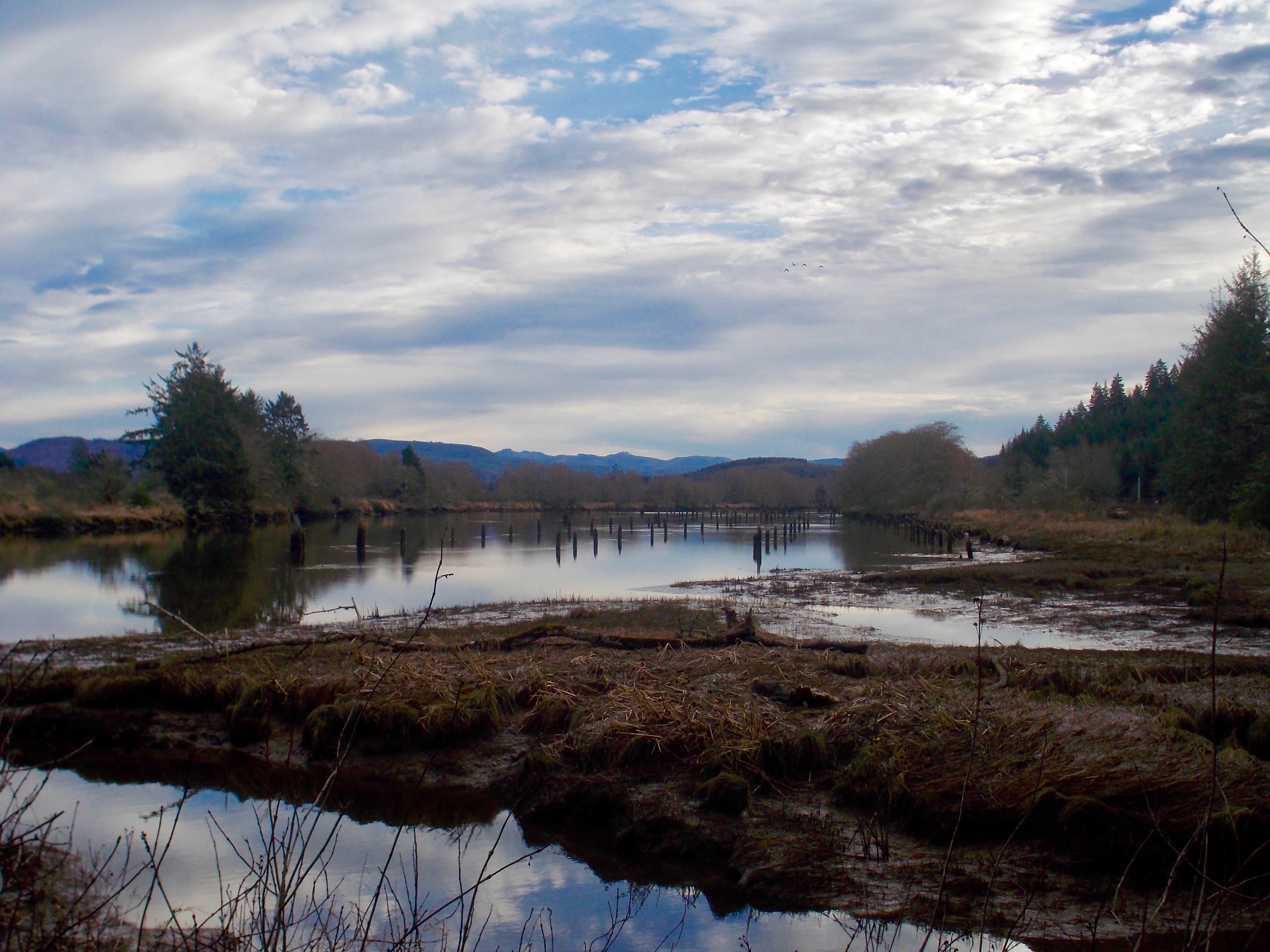
Located at 46.13°N, 123.88°W along the Lewis and Clark River, approximately 5 miles southwest of Astoria, Oregon. From the air, the fort site sits in dense coastal forest near the confluence of the Lewis and Clark River and the Columbia's southern tributaries. The Pacific Ocean is visible to the west, and the broad mouth of the Columbia dominates the northern horizon. Nearest airport is Astoria Regional Airport (KAST), about 5 miles northeast. The Clatsop Plains stretch south along the coast. Best viewed at 1,500-2,000 feet to spot the clearing in the forest where the replica fort stands. At higher altitude, the landscape reveals why Lewis and Clark chose this location: sheltered from ocean winds, close to elk habitat, with river access to both the Columbia and the coast.