Fort Craig
The fake cannons looked convincing enough from a distance. In February 1862, Confederate Brigadier General Henry Hopkins Sibley marched his 2,500-man Army of New Mexico up the Rio Grande, expecting to capture Fort Craig and open a path to the gold fields of Colorado. What he saw on the fort's massive gravel bastions gave him pause: rows of artillery pieces flanked by soldiers in blue caps, an intimidating display of firepower. What he could not see, from his position on the desert plain, was that many of those menacing guns were "Quaker cannons" - wooden logs painted black and mounted to deceive. The ruse worked. Sibley abandoned his plans for a direct assault on what had become the largest military installation in the American Southwest.
Born of Necessity
Fort Craig's story begins with failure. After the 1848 Treaty of Guadalupe Hidalgo established new boundaries between Mexico and the United States, the Army faced an impossible task: protecting thousands of miles of frontier from Apache and Navajo raids. An initial garrison at Socorro - whose name translates to "safety" - proved inadequate. Fort Conrad, established in 1851 near Valverde Creek, seemed ideal for launching campaigns against hostile tribes, but flash floods and crumbling construction plagued the outpost. By 1853, the 3rd U.S. Infantry Regiment began building a replacement nine miles downriver, on a bluff overlooking the Rio Grande. They named it Fort Craig, and soldiers transferred there in 1854 to begin a miserable existence of leaky roofs, crumbling walls, and muddy floors at the edge of the Jornada del Muerto - the "Journey of the Dead Man."
Crossroads of Conflict
The location that made Fort Craig strategically vital also made it desperately uncomfortable. Positioned along El Camino Real de Tierra Adentro - the ancient road connecting Mexico City to Santa Fe - the fort commanded the northern end of a ninety-mile waterless stretch that travelers dreaded. By July 1861, as Civil War erupted across the continent, Fort Craig swelled to over 2,000 soldiers, making it the largest military installation in the Southwest. Five regiments of New Mexico Volunteers arrived from Fort Union to reinforce the garrison and await the Confederate advance. The stage was set for what would become the westernmost major engagement of the Civil War.
The Battle That Never Was
When Sibley's Confederates approached in February 1862, Union commander Colonel Edward Canby refused to take the bait. The Texans hoped to draw Federal forces onto the open plain where cavalry could exploit their advantage. Instead, Canby kept his men behind Fort Craig's formidable defenses - including those convincing wooden cannons. Frustrated, Sibley marched around the fort, leading to the Battle of Valverde at a nearby river crossing. Though the Confederates claimed tactical victory, they never took Fort Craig, and the Union retained control of the Rio Grande corridor. Without supplies from the fort, Sibley's campaign would eventually collapse in the mountains of northern New Mexico.
Forgotten Graves
Fort Craig served until 1885, then fell into ruin on the desert bluff. The Oppenheimer family - yes, those Oppenheimers, whose most famous member would later transform the world at nearby Los Alamos - eventually owned the property and donated it to the Archaeological Conservancy. In 1981, it passed to the Bureau of Land Management. But the story took a darker turn in 2004 when authorities discovered that twenty bodies had been looted from the fort's cemetery, apparently by a collector of military memorabilia. To prevent further desecration, federal archaeologists exhumed sixty-seven more sets of remains in 2007, relocating them to Santa Fe National Cemetery where they could rest undisturbed.
What Remains
Today, Fort Craig's adobe walls have largely melted back into the desert, though the outline of the forty-acre compound remains visible. The gravel bastions that once bristled with real and fake artillery still rise above the surrounding terrain. Interpretive trails wind through the ruins, past the foundations of barracks, officers' quarters, and the hospital where soldiers suffered through wounds and disease far from home. From above, the fort's rectangular footprint stands out against the brown landscape - approximately 1,050 feet east to west, 600 feet north to south - a geometric intrusion on the natural curves of the Rio Grande valley. It is a place where determination and deception combined to shape the course of history at the nation's ragged edge.
From the Air
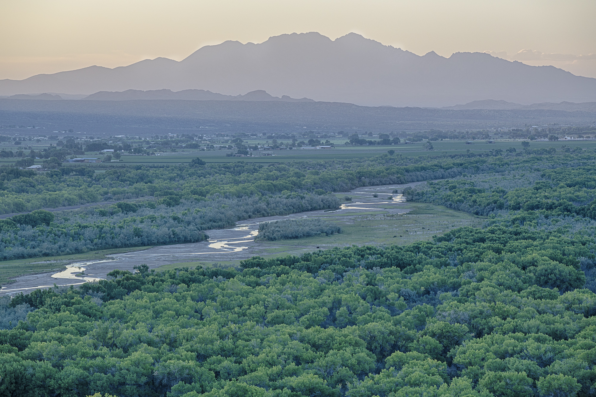
Fort Craig lies at 33.64N, 107.01W in the Rio Grande valley of central New Mexico, approximately 30 miles south of Socorro. The rectangular fort ruins are visible from altitude on the river's west bank, near Elephant Butte Lake State Park. Best approached from the east or west for views of the bastions against the river. Nearest airport is Truth or Consequences Municipal (KTCS) about 25 miles south, or Albuquerque International Sunport (KABQ) 120 miles north. The surrounding terrain is high desert at approximately 4,500 feet elevation. Clear visibility common except during summer monsoon season.