Fort Defiance, Arizona
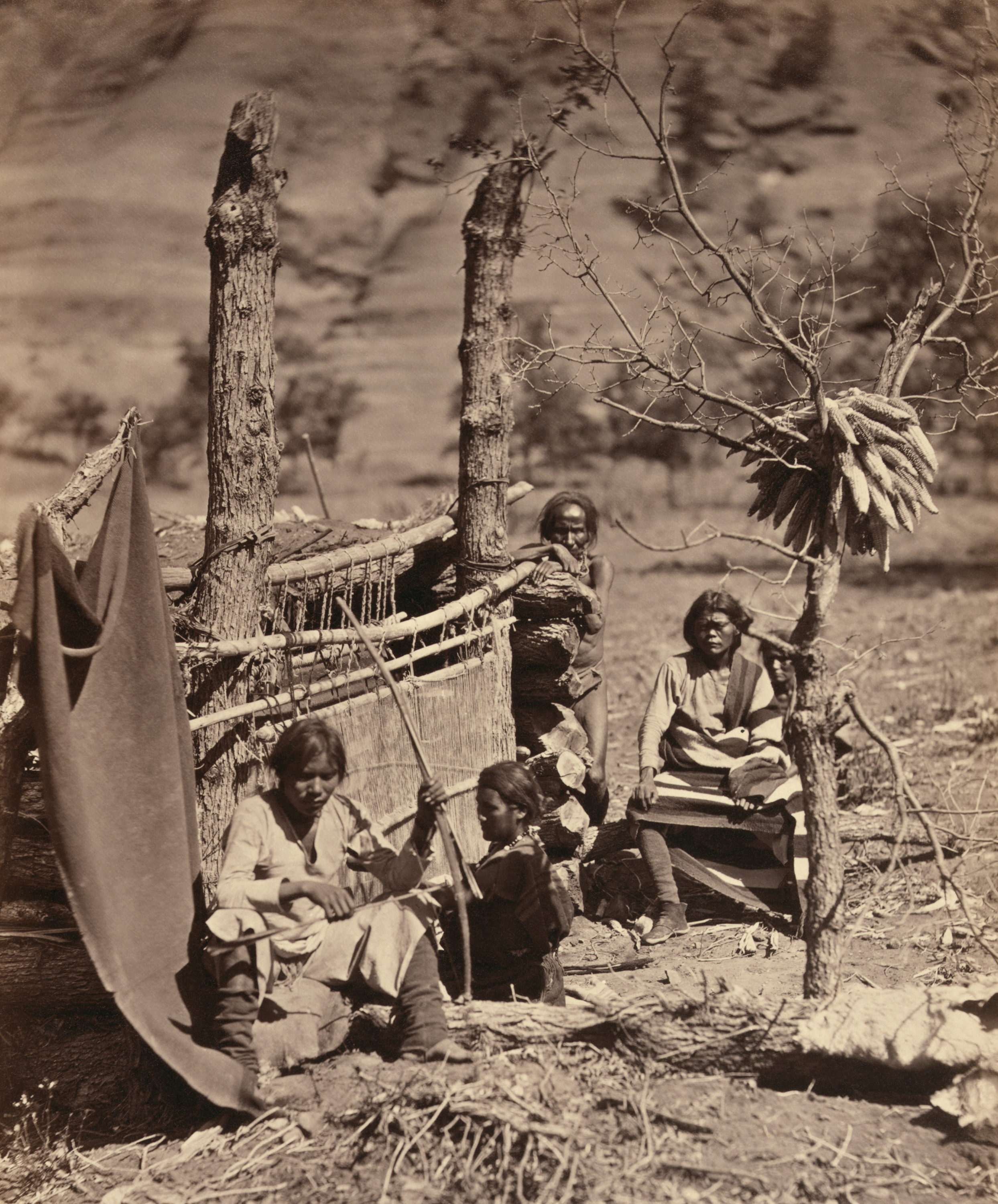
On the morning of April 30, 1860, more than a thousand Navajo warriors under the combined leadership of Manuelito and Barboncito descended on a sod-and-log fort at the mouth of Canyon Bonito in what is now northeastern Arizona. They nearly overran the garrison before being repulsed. The fort they attacked was Fort Defiance -- the first military post established in what would become Arizona -- and the name, chosen by the U.S. Army, would prove grimly appropriate for both sides. The Navajo called the place Tsehootsooi, meaning "the green place among the rocks," and they had every reason to resent the soldiers who had claimed their best grazing land. Today, Fort Defiance is a Navajo community of about four thousand people where the language the Army once tried to suppress is being taught to a new generation.
Claimed Ground
Colonel Edwin V. Sumner established Fort Defiance on September 18, 1851, ordering the construction of a traditional frontier post with buildings arranged around a rectangular parade ground at the mouth of Canyon Bonito. The canyon had been named by Spanish explorers for its green, grassy fields -- prime grazing land that held great value to the Navajo. The U.S. Army's decision to restrict Navajo horses and sheep from grazing on the land surrounding the fort provoked immediate anger. It was only three years after the United States had claimed the region under the Treaty of Guadalupe Hidalgo, and the military presence was meant to assert control over Navajo territory. Major Electus Backus supervised the construction using sod and logs, creating Arizona's first military installation. The fort's very name broadcast the Army's intentions -- but defiance, as it turned out, ran in both directions.
The Attack and Its Aftermath
Tensions between the garrison and the Navajo people escalated through the 1850s, finally erupting in the coordinated assault of April 30, 1860. Manuelito and Barboncito led over a thousand warriors against the post in a dawn attack that came close to succeeding before the soldiers rallied. One soldier was killed and three wounded; around twenty Navajo fighters died. Before the Army could mount a punitive campaign, the Civil War intervened. Fort Defiance was abandoned in 1861 in favor of Fort Fauntleroy, later renamed Fort Wingate. But the conflict was far from over. In 1863, the post was reestablished as Fort Canby and became the base for Kit Carson's brutal campaign against the Navajo -- a campaign that culminated in the Long Walk, a forced march of thousands of Navajo people 450 miles to internment at Bosque Redondo near Fort Sumner, New Mexico. Their livestock was destroyed, their orchards burned. The fort was abandoned again after the campaign, and the remaining Navajo burned it to the ground.
From Garrison to Agency
The Navajo Treaty of 1868 allowed the survivors of Bosque Redondo to return to a portion of their homeland, and Fort Defiance was reestablished that same year -- not as a military post, but as an Indian agency. In 1870, the first government school for the Navajo was established there, marking a shift from military subjugation to a different kind of control: the assimilation policies that would shape federal Indian policy for decades. The agency served as the administrative center for the Navajo Reservation until 1936, when operations moved to nearby Window Rock, which became the capital of the Navajo Nation. Fort Defiance continued to provide medical and other services, and the community that grew around the old fort site became a permanent Navajo settlement.
Teaching Defiance
Today, Fort Defiance is a census-designated place of roughly four thousand residents, over 90% of them Navajo. The old military structures are gone, replaced by buildings from the 1930s onward that serve the Bureau of Indian Affairs, the Indian Health Service, and the Navajo Nation. But the most striking transformation is happening inside a school. Tsehootsoi Dine Bi'Olta' is a Navajo language immersion school for grades K through 8 that operates on a simple and radical premise: kindergarten and first grade are taught entirely in Navajo, with no English at all. English is gradually introduced beginning in third grade, where it accounts for about 10% of instruction. Thirteen Navajo language teachers work alongside five English-language instructors. The school's mission is to revitalize the Navajo language among children of the Window Rock Unified School District -- a form of defiance all its own, reclaiming something that was nearly lost in the very place where the loss began.
From the Air
Located at 35.75°N, 109.07°W in northeastern Arizona on the Navajo Nation, near the Arizona-New Mexico border. The community sits at the mouth of Canyon Bonito in a valley surrounded by red sandstone formations. Window Rock, the Navajo Nation capital, is approximately 8 miles to the south. Nearest airport: Window Rock Airport (KRQE) roughly 8 nm south. Gallup Municipal Airport (KGUP) is about 30 nm southeast. Terrain elevation approximately 6,800 ft. Clear weather recommended for viewing the canyon and valley setting.