Fort Hall Indian Reservation
The name exists in two languages here: Fort Hall to outsiders, Pohoko'ikkatee in Shoshone. This duality captures everything about southeastern Idaho's largest reservation, where more than 5,300 enrolled members of the Shoshone-Bannock Tribes navigate between worlds their ancestors could never have imagined. Spread across 544,000 acres of the Snake River Plain, with the Portneuf Range rising to the east, this is land that the Shoshone and Bannock peoples fought to keep, were forced to accept, and have transformed into a model of tribal self-governance.
Before the Treaties
For generations beyond counting, the Shoshone and Bannock moved freely across what is now Idaho and the surrounding territories. They followed the seasons and the game, their world bounded only by the mountains and the plains they knew intimately. That world began to fracture in the late 1840s when emigrant wagon trains started crossing their territory on the Oregon and California Trails. The wagon ruts carved more than physical marks into the landscape; they disrupted water sources and scattered the game that the tribes depended upon for survival. By the 1850s, tensions had escalated to violence, with Chief Pocatello leading raids against emigrant parties encroaching on Shoshone hunting grounds.
Blood and Betrayal
January 1863 brought catastrophe. Colonel Patrick Edward Connor led troops from Fort Douglas into what became the Bear River Massacre, killing more than 400 Shoshone, including women and children, in present-day southeastern Idaho. Chief Pocatello had been warned and led his people to safety, but another chief's band was attacked and largely destroyed. Seeing the devastating power of U.S. forces, Pocatello sued for peace. In 1868, under the Fort Bridger Treaty, four bands of Shoshone and the Bannock band of Northern Paiute relocated to the newly established reservation. The government promised annual supplies worth $5,000. Those supplies often arrived late or spoiled, and the Snake River Plain proved unsuitable for the subsistence farming the government expected the tribes to adopt.
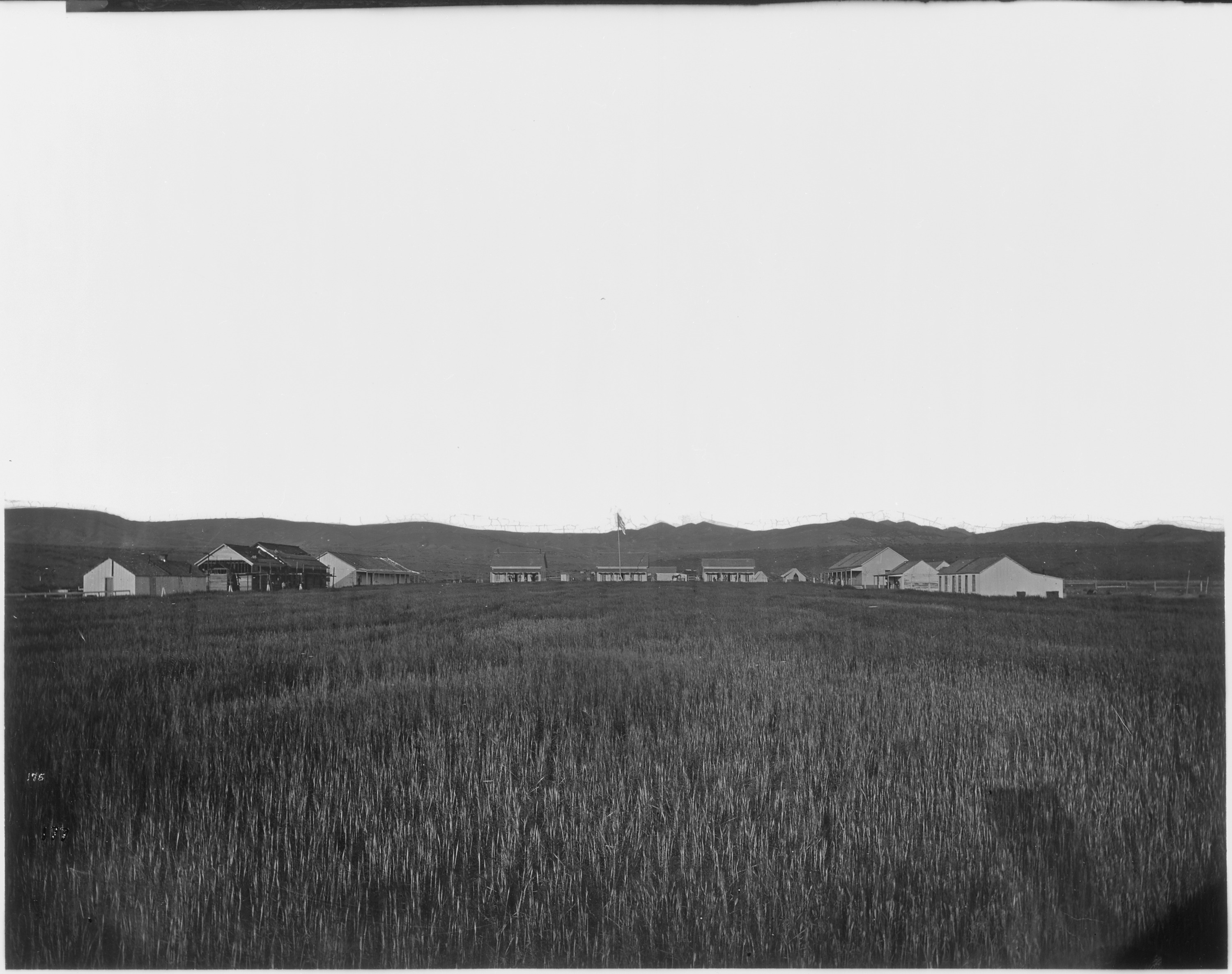
Wounds That Linger
The 20th century brought new betrayals. During World War II, the federal government took 3,300 acres of reservation land for an air base, promising to return it after the war. Instead, they sold it to nearby Pocatello for one dollar, and it became a regional airport. For decades, the FMC Corporation operated a phosphate mine on reservation land, producing 250 million pounds of elemental phosphorus annually. The environmental toll was staggering: in 1989, the EPA designated the 1,500-acre plant site as a Superfund location due to extensive water and land pollution that degraded the Portneuf River. The tribe continues to navigate relationships with the city of Pocatello amid ongoing concerns about environmental impacts from airport-area development.
Sovereignty and Success
Today, the Shoshone-Bannock Tribes operate as a self-governing nation with their own law enforcement, courts, health services, and education systems. A seven-member elected council leads efforts that employ nearly 1,000 people, with a combined payroll exceeding $32 million. The Fort Hall Casino and two satellite gaming facilities fund economic development, education, and healthcare. Agriculture remains vital: wheat and potatoes grown on reservation land generate over $75 million annually. Through the Department of Interior's Land Buy-Back Program, the tribe is steadily restoring fractional land interests to communal ownership, reclaiming piece by piece what was taken over generations.
Five Communities, One Nation
The reservation's population centers each carry their own Shoshone names alongside their English ones: Fort Hall Townsite is also Botoode, Gibson is Bohogoi, Bannock Creek is Saigwi'ogwai. Lincoln Creek and Ross Fork complete the constellation of communities scattered across four Idaho counties. From above, the reservation spreads across the Snake River Plain with Mount Putnam and South Putnam Mountain marking its eastern boundary. Interstate 15 threads through this landscape, connecting the communities to the wider world while the tribes work to preserve the language, culture, and sovereignty that make them distinct within it.
From the Air
Located at 42.96N, 112.37W on the Snake River Plain in southeastern Idaho. The reservation spans portions of Bingham, Power, Bannock, and Caribou counties. Mount Putnam and the Portneuf Range define the eastern boundary. Interstate 15 runs through the reservation. Nearest major airport is Pocatello Regional Airport (KPIH). Best viewed from 5,000-8,000 feet AGL to appreciate the scale of the reservation against the surrounding plain and mountains.