Fort Lowell
Jack Kerouac passed through here, crashing with artists who had made their homes in the crumbling adobe walls of an abandoned cavalry post. But long before the Beat generation discovered Fort Lowell, the Hohokam people had chosen this exact spot where the Tanque Verde and Pantano creeks merge to form the Rillito River. Walk the grounds today and you might still find ceramic shards from their settlements, fragments of a civilization that recognized what the U.S. Army would later confirm: this confluence meant water, and in the Sonoran Desert, water meant everything.
A Post Born from Conflict
The military presence here began in 1862 when the California Column drove Confederate forces from Tucson during the Civil War. The post saw abandonment, reestablishment, and renaming before finally settling at this location in 1873. They named it Camp Lowell, honoring General Charles Russell Lowell who died from wounds at the Battle of Cedar Creek. The camp became a fort in 1879, claiming an eighty-square-mile military reservation stretching east toward the Rincon Mountains. During the Apache Wars, Fort Lowell served as the logistics hub for the entire region. Too large and well-manned to attack directly, the fort supplied and staffed outlying installations. An average of thirteen officers and 239 enlisted men cycled through, including the 2nd, 4th, 5th, and 6th Cavalry Regiments. Local lore holds that a pile of stones on the north end of what's now Fort Lowell Park once formed the guardhouse wall where Geronimo was held before his removal from Arizona.
The Artists Move In
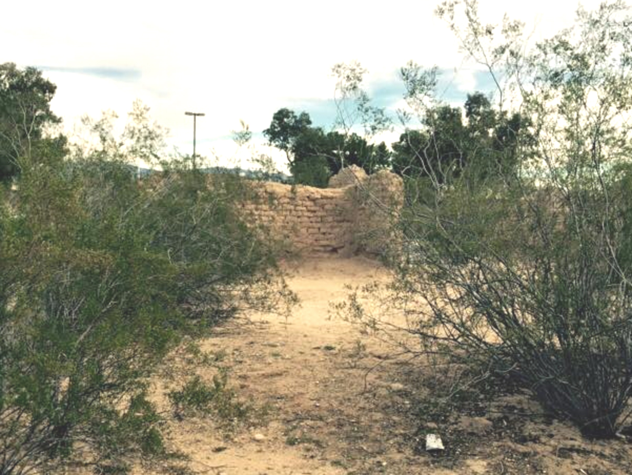
When the Army departed in 1891, the adobe structures began their slow return to desert dust. But in the 1930s, something unexpected happened. Nan, Pete, and Charles Bolsius rebuilt the crumbling Post Traders Store into their home and studio. Through the 1940s, other artists followed. Modernist painter Jack Maul, sculptors Rene and Germaine Cheruy, photographer Hazel Larson Archer, and anthropologists Edward and Rosamond Spicer all made homes among the ruins. The colony attracted writers and poets, including Beat generation author Alan Harrington and Jack Kerouac himself, whose visit found its way into his iconic novel On the Road. The artistic community transformed military ruins into creative spaces, their homes now listed individually on the National Register of Historic Places.
Scouts and Preservationists
The Boy Scouts of Tucson first marched out to the abandoned fort ruins in April 1912, drilling like soldiers while hunting for Native American relics. A Fort Lowell troop formed from neighborhood boys, and the scouts used the area for campouts until 1921. In 1945, with help from rancher Carlos Ronstadt, the scouts bid on forty acres of the ruins, outmaneuvering developers who planned to bulldoze history for subdivision housing. They installed water systems, built a roof over the post hospital remains that still stands today, and maintained the site until 1957, when financial reality forced a sale to Pima County. The scouts' intervention preserved what developers would have erased.
Layers of History Today
Fort Lowell Park now encompasses ball fields, tennis courts, a swimming pool, and the Fort Lowell Museum in the reconstructed Commanding Officer's quarters. The Fort Lowell Historic District protects the surrounding neighborhood, including vernacular Sonoran adobe architecture and homes designed by colony artists. The fort achieved Hollywood fame as the setting for the 1957 television western Boots and Saddles and appeared reconstructed in Burt Lancaster's 1972 film Ulzana's Raid. Seven individual properties carry National Register status, from the Charles Bolsius House built around an original storehouse to San Pedro Chapel. The City of Tucson established the Fort Lowell Historic Preservation Zone in 1981, creating an advisory board to review changes and maintain historical accuracy in a place where Hohokam pottery, cavalry history, and artistic legacy share the same desert ground.
From the Air
Located at 32.26N, 110.87W in northeastern Tucson, approximately 8 miles east of downtown. The park area is visible from the air with its distinctive green fields contrasting against the desert surroundings. The Rillito River channel runs nearby, marking the confluence of Tanque Verde and Pantano creeks that made this location strategic. Nearby airports include Tucson International Airport (KTUS) approximately 15 miles south, and Davis-Monthan Air Force Base (KDMA) about 8 miles south. Best viewed at 2,000-3,000 feet AGL. The Santa Catalina Mountains rise to the north, and the Rincon Mountains that once marked the eastern boundary of the military reservation are visible to the east.