Fort Mose
Before the Underground Railroad had a name, the route ran south. As early as 1689, enslaved Africans in the British colonies of Carolina and Virginia heard whispers of a place where Spain offered freedom -- a place where, if you could survive the journey through swamp and wilderness and hostile territory, you could live as a free person. The destination was St. Augustine, Spanish Florida. The promise became official in 1693, when King Charles II of Spain issued a royal decree granting asylum to runaways who converted to Catholicism and served four years in the colonial militia. By 1738, enough freedom seekers had arrived that Governor Manuel de Montiano ordered a fort built for them just north of the city. He called it Gracia Real de Santa Teresa de Mose. It was the first legally sanctioned free Black settlement in what would become the United States.
The Captain from the Gambia
The leader of Fort Mose was a man born Mandinka in the Gambia River region of West Africa. Captured by slave traders, shipped across the Atlantic on the Middle Passage, and enslaved in the colony of Carolina, he escaped and fled south to Spanish Florida, where he was baptized as Francisco Menendez. By 1726, he had been appointed captain of the free Black militia at St. Augustine. In 1728, he distinguished himself defending the city against a British attack led by John Palmer, and his bravery cemented his authority with the Spanish colonial government. When Fort Mose was constructed in 1738, Menendez became its de facto commander. The freedmen under him -- carpenters, masons, blacksmiths -- built the earthen walls and thatched dwellings with their own hands. About 100 people called the settlement home, a community forged from dozens of different West African tribal and cultural groups, predominantly Kongos, Carabalis, and Mandinka.
A Beacon That Sparked Rebellion
Word of Fort Mose traveled north through the enslaved populations of South Carolina and Georgia. Fellow Black people and their Native American allies helped runaways navigate the dangerous route south to Florida. The Spanish needed skilled laborers and soldiers; the freedom seekers needed sanctuary. It was a pragmatic alliance that served both parties. The settlement's very existence is believed to have helped inspire the Stono Rebellion of September 1739, the largest slave uprising in the British colonies before the American Revolution. Several dozen Africans, many from the Portuguese-influenced Kingdom of Kongo, attempted to reach Spanish Florida during the revolt. Some succeeded, adjusting quickly to life at Mose because they already spoke Portuguese and practiced Catholicism -- the state religion of Kongo.
Bloody Mose
Fort Mose guarded the northern approach to St. Augustine, and in 1740 it faced its greatest test. British General James Oglethorpe of Georgia launched a full assault on the Spanish capital during the War of Jenkins' Ear. After 27 days of bombardment, a combined force of Spanish regulars, Native American auxiliaries, and the free Black militia counterattacked Oglethorpe's troops at Fort Mose. The battle was fierce enough to earn the name Bloody Mose. The British were defeated and eventually withdrew to Georgia. The fort itself was destroyed in the fighting. Its residents took shelter inside St. Augustine's walls until 1752, when the Spanish rebuilt Fort Mose in a slightly different location and the governor relocated the free Black community back to the frontier. By 1759, the village consisted of twenty-two palm-thatched huts sheltering thirty-seven men, fifteen women, seven boys, and eight girls. They grew their own crops, fished the salt-water creeks for shellfish, attended Mass in a wooden chapel, and stood guard along the colonial frontier.
Diaspora and Rediscovery
When the 1763 Treaty of Paris transferred East Florida to Britain, most of Fort Mose's free Black inhabitants emigrated to Cuba alongside the departing Spanish settlers. At that time, the Black population of St. Augustine and Fort Mose totaled about 3,000 people, roughly three-quarters of whom were people who had escaped slavery. The fort changed hands twice more -- British, then Spanish again in 1784 -- before a final ambush by a Spanish and Native American alliance destroyed it for good in 1812. For over a century, the site vanished into salt marsh. Then in 1968, historian and amateur archaeologist Jack Williams identified the fort's general location from an old map, purchased the land, and campaigned for its excavation. From 1986 to 1988, a team led by archaeologist Kathleen Deagan of the Florida Museum of Natural History definitively identified the second fort site, uncovering its moat, clay-daubed earthen walls, gunflints, lead shot, ceramics, thimbles, and charred seeds -- the physical evidence of daily life at America's first free Black settlement.
From Salt Marsh to Sacred Ground
Fort Mose Historic State Park was established after those initial excavations. The site was added to the National Register of Historic Places in 1994 and designated a National Historic Landmark. Today the park's visitor center displays artifacts recovered from the dig, and interpretive panels trace the journey from West Africa to the Middle Passage to British enslavement to the flight south to freedom. A full-scale replica of the 1738 fort, funded by over $3 million in grants and donations, was completed and opened to the public in May 2025. The reconstructed earthen walls and thatched structures stand on the same marshy ground where Menendez and his people built their improbable community nearly three centuries ago. Fort Mose is considered the premier site on the Florida Black Heritage Trail -- proof that the story of American freedom did not always run north.
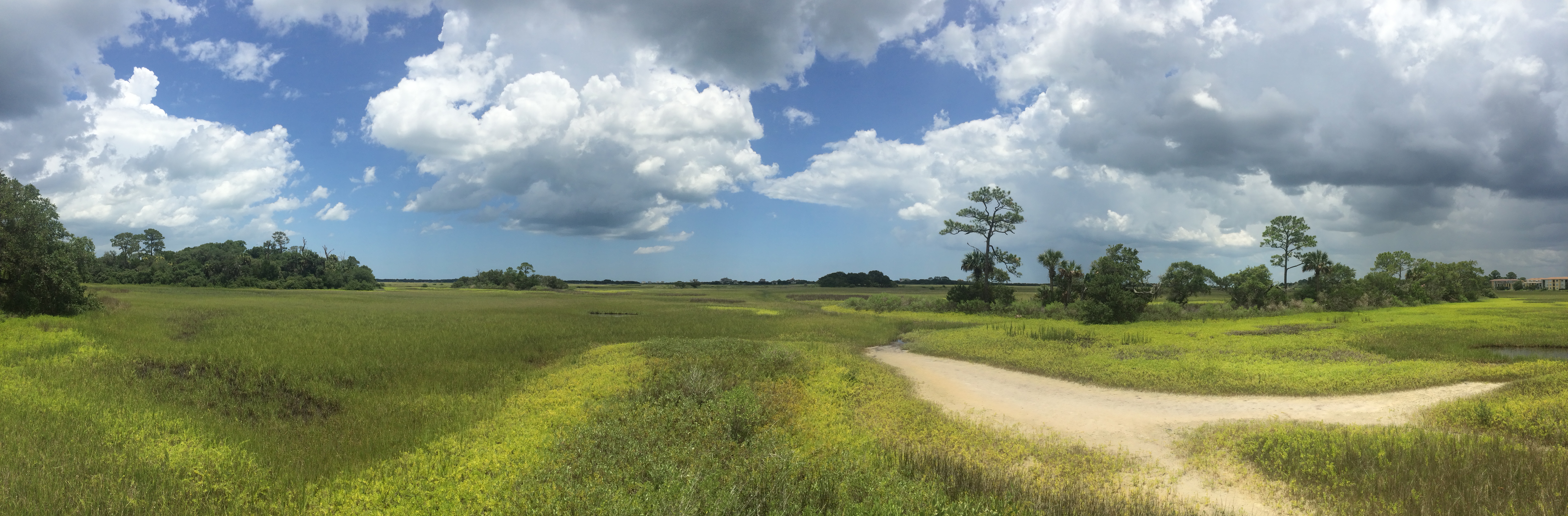
From the Air
Fort Mose Historic State Park is located approximately 2 miles north of downtown St. Augustine, at 29.928N, 81.325W. From the air, the site appears as coastal hammock and salt marsh along tidal creeks northwest of the city. The newly constructed replica fort (completed 2025) may be visible as an earthen structure amid the marshland. The Castillo de San Marcos and downtown St. Augustine are visible to the south. The Matanzas River and Intracoastal Waterway run to the east. Nearest airports: St. Augustine Airport (KSGJ) approximately 3nm west-northwest, Jacksonville International (KJAX) 35nm north. Best viewed at 1,000-2,000 feet AGL to distinguish the park grounds from surrounding marsh.